

1,069 datasets found for "Residual"
-
Federal
Thermal evolution of graptolite and solid bitumen properties at high maturity under natural and artificial conditions
Department of the Interior —
To refine the use of graptolite and solid bitumen properties as thermal proxies at overmature conditions, we evaluated their evolution via Raman and infrared... -
Federal
Data on flea larvae survival following exposure to black-footed ferret scat
Department of the Interior —
We collected fecal scat pellets from 4 black-footed ferrets (Mustela nigripes) in captivity. The ferrets were fed black-tailed prairie dogs (Cynomys ludovicianus)... -
Federal
Adult mosquito and butterfly exposure to permethrin and relative risk following ULV sprays
Department of the Interior —
This dataset contains data of permethrin residues on adult mosquitoes and adult butterflies following their exposure to ultra-low volume (ULV) sprays containing... -
Federal
Airborne magnetic flight line data, western Arkansas, 2022
Department of the Interior —
Airborne magnetic data are provided here as part of the data release "Airborne magnetic and radiometric survey, western Arkansas, 2022." This website includes the... -
Federal
Airborne geophysical survey: Glacier Peak, Washington
Department of the Interior —
Aeromagnetic data were collected along flight lines by instruments in an aircraft that recorded magnetic-field values and locations. This dataset presents latitude,... -
Federal
Airborne geophysical survey: Effie-Coon Lake, Minnesota
Department of the Interior —
Aeromagnetic data were collected along flight lines by instruments in an aircraft that recorded magnetic-field values and locations. This dataset presents latitude,... -
Federal
Airborne geophysical survey: Salton Sea North '81, California Survey Part 2 of 2
Department of the Interior —
Aeromagnetic data were collected along flight lines by instruments in an aircraft that recorded magnetic-field values and locations. This dataset presents latitude,... -
Federal
Input Files and WRTDS Model Output for the two major tributaries of Lake Koocanusa: Water Quality
Department of the Interior —
Canadian discrete water quality data and daily streamflow records were evaluated using the Weighted Regression on Time, Discharge, and Seasons (WRTDS) model... -
Federal
Tree-ring widths of Picea engelmannii at Andrews Meadow, Rocky Mountain National Park
Department of the Interior —
Andrews Meadow in the Loch Vale watershed, Rocky Mountain National Park. Sample Collection: Englemann spruce (Picea engelmannii) living on slopes surrounding and at... -
Federal
Airborne geophysical survey: Southeast New York, New York Survey Part 2 of 2
Department of the Interior —
Aeromagnetic data were collected along flight lines by instruments in an aircraft that recorded magnetic-field values and locations. This dataset presents latitude,... -
Federal
Airborne geophysical survey: Mt. Rainier Peak, Washington Survey Part 2 of 2
Department of the Interior —
Aeromagnetic data were collected along flight lines by instruments in an aircraft that recorded magnetic-field values and locations. This dataset presents latitude,... -
Federal
Airborne geophysical survey: Panamint Dunes, California
Department of the Interior —
Aeromagnetic data were collected along flight lines by instruments in an aircraft that recorded magnetic-field values and locations. This dataset presents latitude,... -
Federal
Ground-truth Data, Submerged Marine Habitat Mapping, Gateway National Recreation Area
Department of the Interior —
Collection of benthic infauna and epifauna used a 0.04 m2 Ted Young Modified Van Veen grab. Three replicate benthic samples were collected at 23 sites to total 69... -
Federal
Ground-truth sampling locations, 2014-2015, Gateway National Recreation Area
Department of the Interior —
GIS point data of stations in which biological and sediment grab samples were collected. Collection of benthic infauna and epifauna used a 0.04 m2 Ted Young Modified... -
Federal
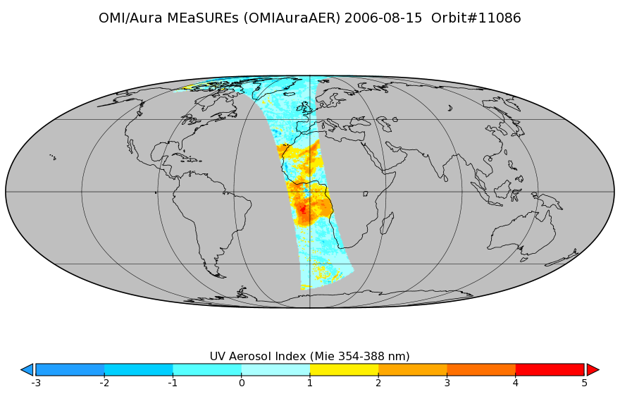
OMI/Aura Near UV Aerosol Index, Optical Depth and Single Scattering Albedo 1-Orbit L2 13x24km
National Aeronautics and Space Administration —
As part of the NASA's Making Earth System Data Records for Use in Research Environments (MEaSUREs) program, this projects describes a multi-decadal Fundamental... -
Federal
LP QPCR vs Culture
U.S. Environmental Protection Agency —
Tap water samples measure for Legionella pneumophila (by QPCR and culture), heterotrophic bacteria, and chlorine residual. This dataset is associated with the... -
Federal
DWTRs_Data_P_Sorption_Capacity_Manuscript_Data
U.S. Environmental Protection Agency —
DWTRs Data and P sorption capacity. This dataset is associated with the following publication: Ament, M.R., S.E. Hurley, M. Voorhees, E. Perkins, Y. Yuan, J.W.... -
Federal
NARS data in combination with results data
U.S. Environmental Protection Agency —
Source data from the National Aquatic Resource Survey's National Rivers and Streams Assessment containing benthic macroinvertebrate and fish taxa data and... -
Federal
DataSet_Bathroom_Community
U.S. Environmental Protection Agency —
- 16S rRNA sequences, generated using Illumina sequencer, and 2. water parameters, included temperature and chlorine residual concentrations. This dataset is...
-
Federal
BSEE Linear Boom In Situ Oil Burn Data
U.S. Environmental Protection Agency —
The efficiency of simulated at-sea surface oil burns (in situ burns, ISB) was determined while testing varied boom configurations and air-assist nozzles to improve...
1,069 datasets found for "Residual"