
-
Federal
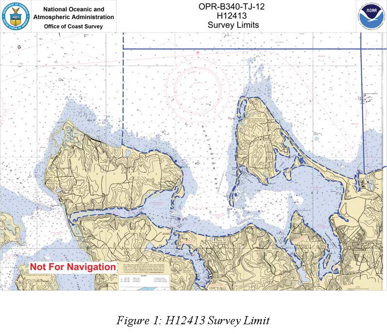
H12413: NOS Hydrographic Survey , Long Island Sound, NY, 2012-09-21
National Oceanic and Atmospheric Administration, Department of Commerce —
The National Oceanic and Atmospheric Administration (NOAA) has the statutory mandate to collect hydrographic data in support of nautical chart compilation for safe... -
Federal
TIGER/Line Shapefile, 2023, State, New York, NY, Unified School Districts
U.S. Census Bureau, Department of Commerce —
The TIGER/Line shapefiles and related database files (.dbf) are an extract of selected geographic and cartographic information from the U.S. Census Bureau's Master... -
Federal
EnviroAtlas - New York, NY - 51m Riparian Buffer Vegetated Cover
U.S. Environmental Protection Agency —
This EnviroAtlas dataset describes the percentage of a 51-m riparian buffer that is vegetated. In this community, vegetated cover is defined as Trees & Forest and... -
Federal
TIGER/Line Shapefile, 2021, County, Oneida County, NY, All Roads
U.S. Census Bureau, Department of Commerce —
The TIGER/Line shapefiles and related database files (.dbf) are an extract of selected geographic and cartographic information from the U.S. Census Bureau's Master... -
Federal
TIGER/Line Shapefile, 2023, State, New York, Point Landmark
U.S. Census Bureau, Department of Commerce —
The TIGER/Line shapefiles and related database files (.dbf) are an extract of selected geographic and cartographic information from the U.S. Census Bureau's Master... -
Federal
EnviroAtlas - New York, NY - Impervious Proximity Gradient
U.S. Environmental Protection Agency —
In any given 1-square meter point in this EnviroAtlas dataset, the value shown gives the percentage of impervious surface within 1 square kilometer centered over the... -
Federal
EnviroAtlas Estimated Percent Green Space Along Walkable Roads Web Service
U.S. Environmental Protection Agency —
This EnviroAtlas dataset estimates green space along walkable roads. Green space within 25 meters of the road centerline is included and the percentage is based on... -
Federal
TIGER/Line Shapefile, 2021, State, New York, Places
U.S. Census Bureau, Department of Commerce —
The TIGER/Line shapefiles and related database files (.dbf) are an extract of selected geographic and cartographic information from the U.S. Census Bureau's Master... -
Federal
2023 Cartographic Boundary File (SHP), Census Tract for New York, 1:500,000
U.S. Census Bureau, Department of Commerce —
The 2023 cartographic boundary shapefiles are simplified representations of selected geographic areas from the U.S. Census Bureau's Master Address File /... -
Federal
Great South Bay, NY (M050) Bathymetric Digital Elevation Model (30 meter resolution) Derived From Source Hydrographic Survey Soundings Collected by NOAA
National Oceanic and Atmospheric Administration, Department of Commerce —
Bathymetry for Great South Bay was derived from thirteen surveys containing 124,314 soundings. Nineteen older, less accurate, overlapping surveys were omitted, and... -
Federal
TIGER/Line Shapefile, Current, State, New York, State Legislative District (SLD) Upper Chamber
U.S. Census Bureau, Department of Commerce —
This resource is a member of a series. The TIGER/Line shapefiles and related database files (.dbf) are an extract of selected geographic and cartographic information... -
Federal
EnviroAtlas - New York, NY - Tree Cover Configuration and Connectivity
U.S. Environmental Protection Agency —
This EnviroAtlas dataset categorizes forest land cover into structural elements (e.g. core, edge, connector, etc.). In this community, forest is defined as Trees... -
Federal
EnviroAtlas One Meter Resolution Urban Land Cover Data (2008-2012) Web Service
U.S. Environmental Protection Agency —
This EnviroAtlas web service supports research and online mapping activities related to EnviroAtlas (https://www.epa.gov/enviroatlas ). The EnviroAtlas One Meter-... -
Federal
points, transects, beach width: Barrier island geomorphology and shorebird habitat metrics at 50-m alongshore transects and 5-m cross-shore points: Fire Island, NY, 2014–2015
Department of the Interior —
Understanding how sea-level rise will affect coastal landforms and the species and habitats they support is critical for crafting approaches that balance the needs of... -
Federal
2023 Cartographic Boundary File (KML), Census Tract for New York, 1:500,000
U.S. Census Bureau, Department of Commerce —
The 2023 cartographic boundary KMLs are simplified representations of selected geographic areas from the U.S. Census Bureau's Master Address File / Topologically... -
Federal
TIGER/Line Shapefile, 2022, State, New York, NY, Secondary School Districts
U.S. Census Bureau, Department of Commerce —
The TIGER/Line shapefiles and related database files (.dbf) are an extract of selected geographic and cartographic information from the U.S. Census Bureau's Master... -
Federal
2022 Cartographic Boundary File (SHP), Current Elementary School District for New York, 1:500,000
U.S. Census Bureau, Department of Commerce —
The 2022 cartographic boundary shapefiles are simplified representations of selected geographic areas from the U.S. Census Bureau's Master Address File /... -
Federal
Bioaccumulation dynamics of polychlorinated biphenyls (PCBs) and organochlorine pesticides
National Oceanic and Atmospheric Administration, Department of Commerce —
Bioaccumulation dynamics of polychlorinated biphenyls (PCBs) and organochlorine pesticides was examined in young-of-the-year bluefish from seven sub-estuaries of New... -
Federal
TIGER/Line Shapefile, 2021, County, Bronx County, NY, All Roads
U.S. Census Bureau, Department of Commerce —
The TIGER/Line shapefiles and related database files (.dbf) are an extract of selected geographic and cartographic information from the U.S. Census Bureau's Master... -
State
Connecticut and Vicinity County Boundary Set
State of Connecticut —
Connecticut and Vicinity County Boundary data are intended for geographic display of state and county boundaries at statewide and regional levels. Use it to map and...

Official websites use .gov
A
.gov website belongs to an official government
organization in the United States.
Secure .gov websites use HTTPS
A
lock (
) or https:// means you’ve safely connected to
the .gov website. Share sensitive information only on official,
secure websites.