

562 datasets found for "网上赌博犯法吗✅澳门葡京赌场官方网站-网址【079.one】㊙️最火爆PG电子超高爆奖率,注册即送38元.NWvuplTESHn"
-
Federal
SNF Forest Cover by Species/Strata
National Aeronautics and Space Administration —
The purpose of the SNF study was to improve our understanding of the relationship between remotely sensed observations and important biophysical parameters in the... -
Federal
LBA Regional River Discharge Data (Coe and Olejniczak)
National Aeronautics and Space Administration —
This data set is a subset of a global river discharge data set by Coe and Olejniczak (1999). The subset was created for the study area of the Large Scale Biosphere-... -
Federal
SE-590 Reflectance & Radiances (FIFE)
National Aeronautics and Space Administration —
The SE-590 Reflectance Factors and Radiances Measured from a Helicopter Data Set were collected using the helicopter-borne SE-590 during Intensive Field Campaign 5... -
Federal
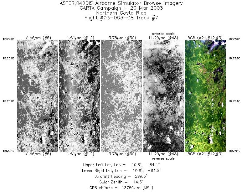
MASTER: Costa Rica Airborne Research and Technology Applications, March, 2003
National Aeronautics and Space Administration —
This dataset includes Level 1B (L1B) data products from the MODIS/ASTER Airborne Simulator (MASTER) instrument. The spectral data were collected during 14 flights... -
Federal
Lund-Potsdam-Jena Wetland Hydrology and Methane DGV Model (LPJ-WHyMe v1.3.1)
National Aeronautics and Space Administration —
This model product provides the Fortran 77 source code for the Lund-Potsdam-Jena (LPJ) Wetland Hydrology and Methane Dynamic Global Vegetation Model (LPJ-WHyMe... -
Federal
LBA-ECO ND-06 Land Use Effects on Soil Nutrients: A Review of Studies 1950-2001
National Aeronautics and Space Administration —
This data set provides measurements of soil properties compiled from 39 studies on nutrient dynamics in natural forests and forest-derived land uses (pasture,... -
Federal
LBA-ECO LC-22 Field Validation of MODIS Deforestation Detection, Brazil, 2005
National Aeronautics and Space Administration —
This data set contains field observations, corresponding GPS points, and point and polygons of deforested areas in the state of Mato Grosso, Brazil, for the period... -
Federal
LBA-ECO LC-03 SAR Images, Land Cover, and Biomass, Four Areas across Brazilian Amazon
National Aeronautics and Space Administration —
This data set provides three related land cover products for four study areas across the Brazilian Amazon: Manaus, Amazonas; Tapajos National Forest, Para Western... -
Federal
LBA-ECO LC-02 Tributary Coordinates, Acre River, Tri-national River Basin: 2003-2004
National Aeronautics and Space Administration —
This data set provides coordinates for points at the mouth of tributaries of the Acre River in the Tri-national River Basin in South America. Three Global Positioning... -
Federal
LBA-ECO LC-02 Groundwater Levels, Catuaba Experimental Farm, Acre, Brazil: 1999-2004
National Aeronautics and Space Administration —
This data set reports bi-weekly or monthly depth-to-water measurements for three wells located in a ~1,500 ha forest fragment on the Catuaba Experimental Farm, which... -
Federal
LBA-ECO LC-02 Biophysical Measurements of Forests, Acre, Brazil: 1999-2002
National Aeronautics and Space Administration —
This data set provides diameter at breast height (DBH) measurements for 1,063 trees located at the Catuaba Experimental Farm, and 812 trees located in the Humaita... -
Federal
LBA-ECO LC-01 SRTM 90-Meter Digital Elevation Model, Northern Ecuadorian Amazon
National Aeronautics and Space Administration —
This data set provides 90-meter resolution Digital Elevation Model data used in the University of North Carolina's Carolina Population Center (CPC) Ecuador Projects.... -
Federal
LBA-ECO CD-04 Leaf Litter Data, km 83 Tower Site, Tapajos National Forest, Brazil
National Aeronautics and Space Administration —
Above-ground litter productivity was measured in a 18 ha plot adjacent to the eddy flux tower at the logged forest tower site, km 83, Tapajos National Forest, Para,... -
Federal
LBA-ECO ND-01 Watershed Deforestation from Landsat TM Series, Rondonia, Brazil: 1999
National Aeronautics and Space Administration —
This data set provides estimates of watershed deforestation, as a proportion of the total area of watersheds, in Rondonia, Brazil for 1999. Deforestation maps were... -
Federal
LBA-ECO LC-07 CO2 and CH4 Flux from Wetlands, Negro River Basin, Brazil: 2004-2006
National Aeronautics and Space Administration —
This data set provides estimates of daily and monthly carbon dioxide (CO2) and methane (CH4) diffusive and ebullitive flux for dry and flooded areas from two study...
562 datasets found for "网上赌博犯法吗✅澳门葡京赌场官方网站-网址【079.one】㊙️最火爆PG电子超高爆奖率,注册即送38元.NWvuplTESHn"