
-
Federal
TROPESS Chemical Reanalysis SO2 Monthly 3-dimensional Product V1 (TRPSCRSO2M3D) at GES DISC
National Aeronautics and Space Administration —
The TROPESS Chemical Reanalysis SO2 Monthly 3-dimensional Product contains vertical concentrations of sulfur dioxide. The data are part of the Tropospheric Chemical... -
Federal
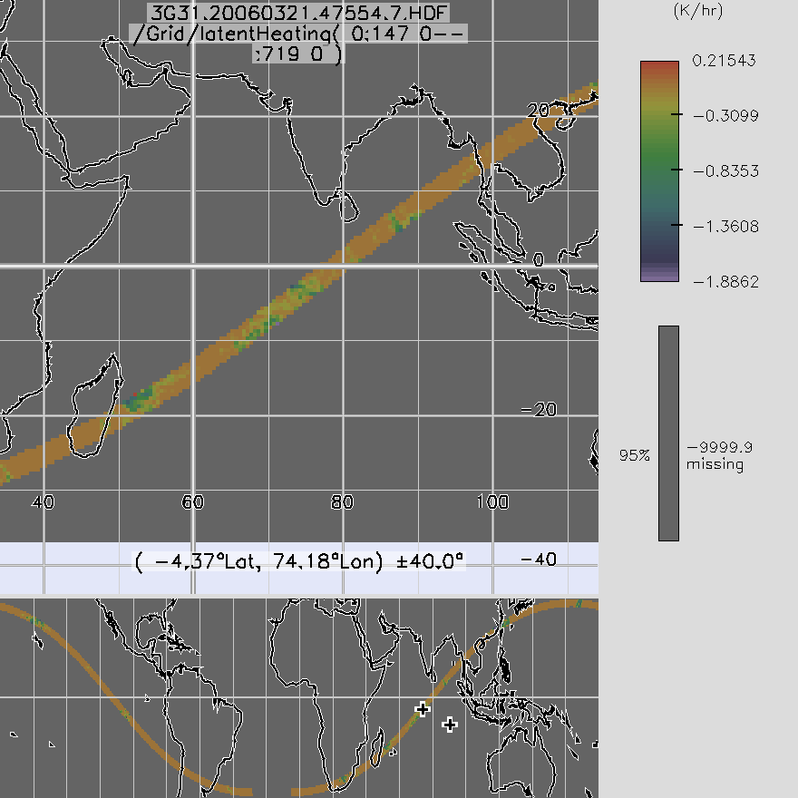
TRMM TMI/PR Combined Gridded Orbital Spectral Latent Heating L3 1.5 hours 0.5 degree x 0.5 degree V7 (TRMM_3G31) at GES DISC
National Aeronautics and Space Administration —
3G31, Gridded Orbital Convective Stratiform Heating from Combined, produces 0.5 degree x 0.5 degree orbital apparent heating profiles from surface convective rainfall... -
Federal
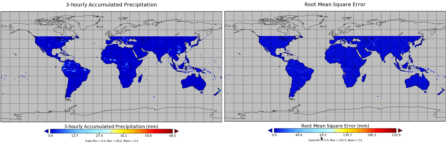
TMI/TRMM precipitation and uncertainty (TMPA) L3 3 hour 0.25 degree x 0.25 degree V001 (WC_MULTISEN_PREC_025) at GES DISC
National Aeronautics and Space Administration —
TMI/TRMM precipitation and uncertainty (TMPA) L3 3 hour 0.25 degree x 0.25 degree V001 provides estimates of accumulated precipitation from the Tropical Rainfall... -
Federal
Terra MODIS Level-3 Global Binned 4µm Nighttime Sea Surface Temperature (SST4) Data, version R2019.0
National Aeronautics and Space Administration —
MODIS (or Moderate-Resolution Imaging Spectroradiometer) is a key instrument aboard the Terra (EOS AM) and Aqua (EOS PM) satellites. Terra's orbit around the Earth is... -
Federal
TROPESS Chemical Reanalysis Surface SO2 2-Hourly 2-dimensional Product V1 (TRPSCRSO22H2D) at GES DISC
National Aeronautics and Space Administration —
The TROPESS Chemical Reanalysis SO2 2-Hourly 2-dimensional Product contains surface concentrations of sulfur dioxide. The data are part of the Tropospheric Chemical... -
Federal
TROPESS Chemical Reanalysis Surface NO2 2-Hourly 2-dimensional Product V1 (TRPSCRNO22H2D) at GES DISC
National Aeronautics and Space Administration —
The TROPESS Chemical Reanalysis NO2 2-Hourly 2-dimensional Product contains surface concentrations of nitrogen dioxide. The data are part of the Tropospheric Chemical... -
Federal
TROPESS Chemical Reanalysis Surface NO 2-Hourly 2-dimensional Product V1 (TRPSCRNO2H2D) at GES DISC
National Aeronautics and Space Administration —
The TROPESS Chemical Reanalysis NO 2-Hourly 2-dimensional Product contains surface concentrations of nitric oxide. The data are part of the Tropospheric Chemical... -
Federal
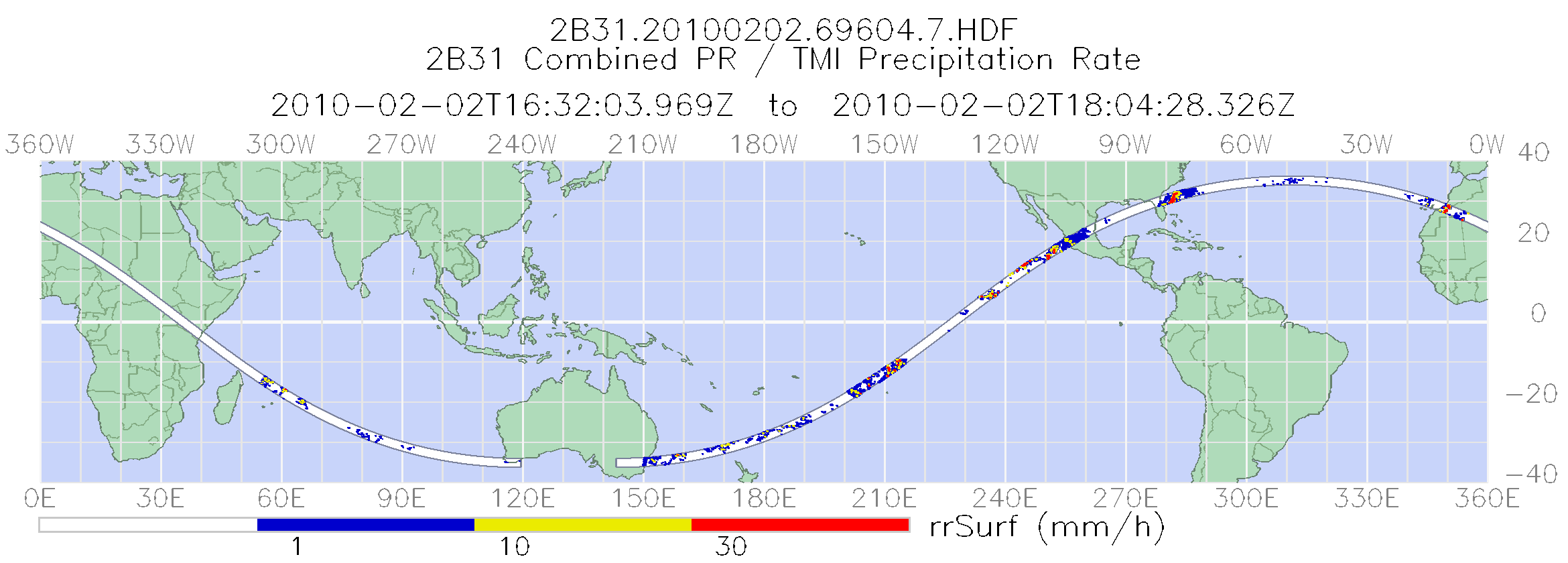
TRMM Combined Precipitation Radar and Microwave Imager Rainfall Profile L2 1.5 hours V7 (TRMM_2B31) at GES DISC
National Aeronautics and Space Administration —
This is the last version of the TRMM-formatted, in HDF4 format, Combined (Radar-Radiometer) product, which is in a state of permanent preservation. New version that... -
Federal
TROPICS03 L2B Deep Multispectral INtensity (DMIN) of Tropical cyclones estimator Algorithm V1.0
National Aeronautics and Space Administration —
The "Time-Resolved Observations of Precipitation structure and storm Intensity with a Constellation of Smallsats" (TROPICS) mission has a goal of providing nearly... -
Federal
TROPESS Chemical Reanalysis CH2O Monthly 3-dimensional Product V1 (TRPSCRCH2OM3D) at GES DISC
National Aeronautics and Space Administration —
The TROPESS Chemical Reanalysis CH2O Monthly 3-dimensional Product contains vertical concentrations of formaldehyde. The data are part of the Tropospheric Chemical... -
Federal
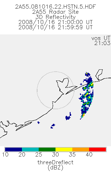
TRMM Ground Validation Radar Site 3D Reflectivity L2 1 hour V7 (TRMM_2A55) at GES DISC
National Aeronautics and Space Administration —
'Radar Site 3-D Reflectivities', is composed of 3 different fields. The first field has an array of 3-D reflectivities in Cartesian coordinates with a 2 km horizontal... -
Federal
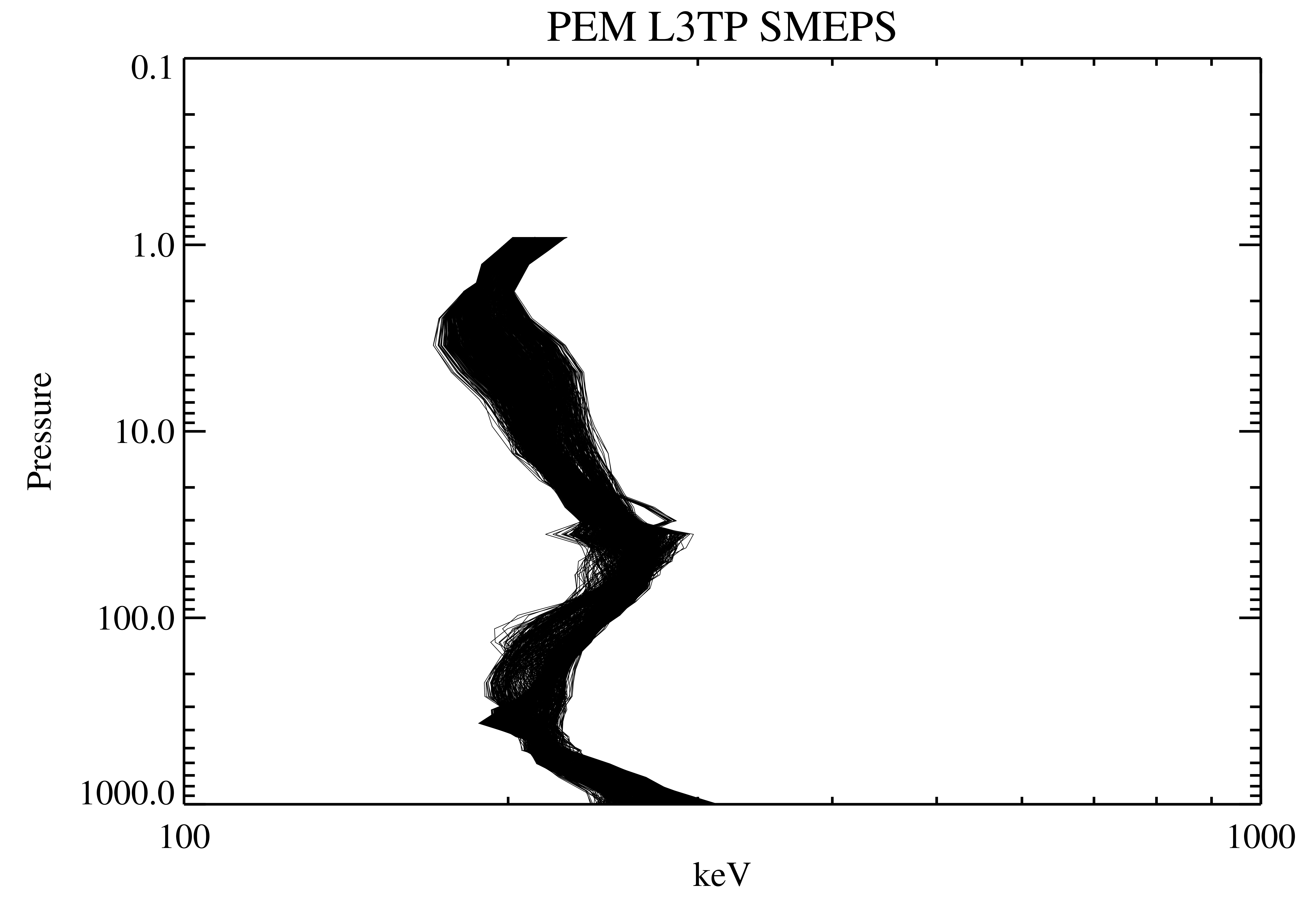
UARS PEM Level 2 AXIS 2 V001 (UARPE2AXIS2) at GES DISC
National Aeronautics and Space Administration —
The UARS Particle Environment Monitor (PEM) level 2 Atmosphere X-Ray Imaging Spectrometer (AXIS) unit 2 daily product contains the X-ray high-resolution spectral data... -
Federal
TRMM Microwave Imager Precipitation Profile L3 1 month 0.5 degree x 0.5 degree V7 (TRMM_3A12) at GES DISC
National Aeronautics and Space Administration —
The new equivalent for this dataset should be searched for as "GPM_3GPROFTRMMTMI_CLIM". This product contains global monthly means of surface precipitation rate, rain... -
Federal
TRMM PR Gridded Orbital Spectral Latent Heating Profiles L3 1.5 hours 0.5 degree x 0.5 degree V7 (TRMM_3G25) at GES DISC
National Aeronautics and Space Administration —
3G25, "Gridded Orbital Spectral Latent Heating", produces 0.5 degree x 0.5 degree latent heating, Q1-QR, and Q2 profiles from Precipitation Radar (PR) rain. The... -
Federal
UAVSAR_INSAR_KMZ
National Aeronautics and Space Administration —
UAVSAR Repeat Pass Interferometry Scene KMZ -
Federal
VIIRS/NPP BRDF/Albedo Parameter 3 NIR Daily L3 Global 30 ArcSec CMG V002
National Aeronautics and Space Administration —
The NASA/NOAA Suomi National Polar-orbiting Partnership (Suomi NPP) Visible Infrared Imaging Radiometer Suite (VIIRS) Bidirectional Reflectance Distribution Function... -
Federal
TRMM Radar Rainfall Statistics L3 1 month (5 x 5) and (0.5 x 0.5) degree V7 (TRMM_3A25) at GES DISC
National Aeronautics and Space Administration —
The new version of these data is in GPM-like format (consistent with the GPM Dual-frequency Radar data format), and can be found under the name GPM_3PR. This product... -
Federal
TOVS GLA MONTHLY GRIDS from NOAA-8 02 (TOVSAMNE) at GES DISC
National Aeronautics and Space Administration —
This dataset (TOVSAMNE) contains the TIROS Operational Vertical Sounder (TOVS) level 3 geophysical parameters derived using data from NOAA-8 and the physical... -
Federal
Terra MODIS Level-3 Global Mapped 4µm Nighttime Sea Surface Temperature (SST4) Data, version R2019.0
National Aeronautics and Space Administration —
MODIS (or Moderate-Resolution Imaging Spectroradiometer) is a key instrument aboard the Terra (EOS AM) and Aqua (EOS PM) satellites. Terra's orbit around the Earth is... -
Federal
STS-59_METADATA_SLC
National Aeronautics and Space Administration —
Metadata for STS-59 SIR-C Slant Range Product

Official websites use .gov
A
.gov website belongs to an official government
organization in the United States.
Secure .gov websites use HTTPS
A
lock (
) or https:// means you’ve safely connected to
the .gov website. Share sensitive information only on official,
secure websites.