

9,510 datasets found for "Study Area"
-
Federal
Optical Thickness Data: C-130 (FIFE)
National Aeronautics and Space Administration —
The data in the Sunphotometer Optical Thickness Data from C130 Aircraft data set were collected in June, July and August 1987, and in August 1989. The data was... -
Federal
NOAA-16 AVHRR Atmospherically Corrected Normalized Difference Vegetation Index Daily L3 Global 0.05 Deg. CMG
National Aeronautics and Space Administration —
The Long-Term Data Record (LTDR) produces, validates, and distributes a global land surface climate data record (CDR) that uses both mature and well-tested algorithms... -
Federal
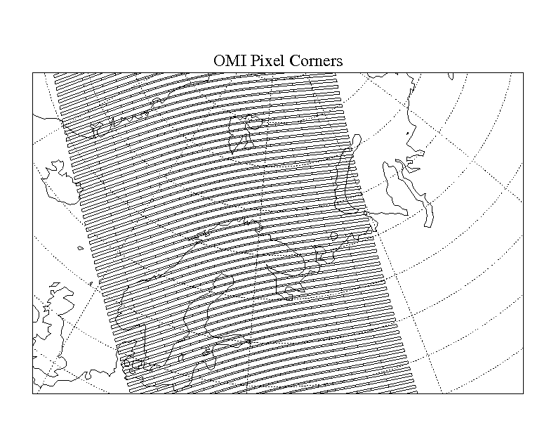
OMI/Aura Global Ground Pixel Corners 1-Orbit L2 Swath 13x24km V003 (OMPIXCOR) at GES DISC
National Aeronautics and Space Administration —
The Version-3 Aura Ozone Monitoring Instrument (OMI) Pixel Corner Product, OMPIXCOR, is now available from the NASA Goddard Earth Sciences Data and Information... -
Federal
Net Carbon Dioxide and Water Fluxes of Global Terrestrial Ecosystems, 1969-1998
National Aeronautics and Space Administration —
The variability of net surface carbon assimilation (Asmax), net ecosystem surface respiration (Rsmax), and net surface evapotranspiration (Etsmax) among and within... -
Federal
NARSTO EPA_SS_HOUSTON TEXAQS2000 Washburn Tunnel Air Quality Monitoring Data
National Aeronautics and Space Administration —
The NARSTO_EPA_SS_HOUSTON_TEXAQS2000_WB_TUNNEL data contain gas and particle phase measurements collected in a tunnel in the Houston area during the summer of 2000.... -
Federal
NARSTO EPA Supersite (SS) Houston, Texas Air Quality Study 2000 (TexAQS2000) Formaldehyde and Hydrogen Peroxide Data
National Aeronautics and Space Administration —
NARSTO_EPA_SS_HOUSTON_TEXAQS2000_PM_SIZE_MASS is North American Research Strategy for Tropospheric Ozone (NARSTO) Environmental Protection Agency (EPA) Supersite (SS)...
9,510 datasets found for "Study Area"