
-
Federal
CoSMoS (Coastal Storm Modeling System) Southern California v3.0 Phase 2 wave-hazard projections: 20-year storm in Los Angeles County
Department of the Interior —
Projected Hazard: Model-derived significant wave height (in meters) for the given storm condition and sea-level rise (SLR) scenario. Model Summary: The Coastal Storm... -
Federal
Hyperspectral Imagery for the Main Eight Hawaiian Islands:Hawaii (401-402-0620-332211)
National Oceanic and Atmospheric Administration, Department of Commerce —
This project is a cooperative effort among the National Ocean Service, National Centers for Coastal Ocean Science, Center for Coastal Monitoring and Assessment; the... -
Federal
Oahu Hyperspectral Imagery 2000 (215-0611-332211) - Visual Interpretation from Remote Sensing Imagery Main Eight Hawaiian Islands
National Oceanic and Atmospheric Administration, Department of Commerce —
This project is a cooperative effort between the National Ocean Service, National Centers for Coastal Ocean Science, Center for Coastal Monitoring and Assessment, the... -
Federal
Bathymetry Hillshade--Offshore of Santa Barbara, California
Department of the Interior —
This part of DS 781 presents data for the shaded-relief bathymetry map of the Offshore of Santa Barbara map area, California. The raster data file for the hillshaded... -
Federal
Utah FORGE 2-2439v2: A Multi-Component Approach to Characterizing In-Situ Stress - Final Report
Department of Energy —
This comprehensive technical report documents a multi-component approach to in-situ stress characterization at the Utah FORGE EGS site that integrates Machine... -
Federal
ABoVE: Passive Microwave-derived Annual Snow Melt Duration Date Maps, 1988-2018
National Aeronautics and Space Administration —
This dataset provides the annual period of snowpack melting (i.e., snow melt duration, SMD) across northwest Canada; Alaska, U.S.; and parts of far eastern Russia at... -
Federal
SAFARI 2000 FEWS 10-day Rainfall Estimate, 8-Km, 1999-2001
National Aeronautics and Space Administration —
The U.S. Agency for International Development (USAID) Famine Early Warning System (FEWS) has been supporting the production of 10-day Rainfall Estimate (RFE) data for... -
Federal
Polar Radiant Energy in the Far InfraRed Experiment (PREFIRE) Surface Emissivity Sorted All-sky Climatology from PREFIRE Satellite 1 R01
National Aeronautics and Space Administration —
Polar Radiant Energy in the Far InfraRed Experiment (PREFIRE) Surface Emissivity Sorted All-sky Climatology from PREFIRE Satellite 1 (PREFIRE_SAT1_3-SFC-... -
Federal
Polar Radiant Energy in the Far InfraRed Experiment (PREFIRE) Cloud Properties from PREFIRE Satellite 2 R01
National Aeronautics and Space Administration —
Polar Radiant Energy in the Far InfraRed Experiment (PREFIRE) Satellite 2 Cloud Properties (PREFIRE_SAT2_2B-CLD) contains cloud properties derived from data collected... -
Federal
Polar Radiant Energy in the Far InfraRed Experiment (PREFIRE) Spectral Flux from PREFIRE Satellite 2 R01
National Aeronautics and Space Administration —
Polar Radiant Energy in the Far InfraRed Experiment (PREFIRE) Spectral Flux from PREFIRE Satellite 2 (PREFIRE_SAT2_2B-FLX) contains surface emissivity derived from... -
Federal
Polar Radiant Energy in the Far InfraRed Experiment (PREFIRE) Surface Emissivity from PREFIRE Satellite 1 R01
National Aeronautics and Space Administration —
Polar Radiant Energy in the Far InfraRed Experiment (PREFIRE) Surface Emissivity from PREFIRE Satellite 1 (PREFIRE_SAT1_2B-SFC) contains surface emissivity derived... -
Federal
Polar Radiant Energy in the Far InfraRed Experiment (PREFIRE) Atmospheric Properties from PREFIRE Satellite 1 R01
National Aeronautics and Space Administration —
Polar Radiant Energy in the Far InfraRed Experiment (PREFIRE) Atmospheric Properties from PREFIRE Satellite 1 (PREFIRE_SAT1_2B-ATM) contains several geophysical... -
Federal
Polar Radiant Energy in the Far InfraRed Experiment (PREFIRE) Satellite 2 Raw Payload R01
National Aeronautics and Space Administration —
Polar Radiant Energy in the Far InfraRed Experiment (PREFIRE) Satellite 2 Raw Payload (PREFIRE_SAT2_0-PAYLOAD) contains the uncurated raw measurements from one of two... -
Federal
PREFIRE Auxiliary Satellite Data for PREFIRE Satellite 2 R01
National Aeronautics and Space Administration —
PREFIRE (Polar Radiant Energy in the Far InfraRed Experiment) Auxiliary Satellite Data for PREFIRE Satellite 2 contains data fields extracted from external satellite... -
Federal
PREFIRE Auxiliary Meteorology Data for PREFIRE Satellite 1 version R01
National Aeronautics and Space Administration —
Polar Radiant Energy in the Far InfraRed Experiment (PREFIRE) Auxiliary Meteorology Data for PREFIRE Satellite 1 (PREFIRE_SAT1_AUX-MET) contains GEOS-IT analyses and... -
Federal
PREFIRE Spectral Radiance from PREFIRE Satellite 2 R01
National Aeronautics and Space Administration —
PREFIRE (Polar Radiant Energy in the Far InfraRed Experiment) Spectral Radiance from PREFIRE Satellite 2 (PREFIRE_SAT2_1B-RAD) contains calibrated and geolocated... -
Federal
PREFIRE Level 1A Calibrated Spectral Radiance from PREFIRE Satellite 1 R01
National Aeronautics and Space Administration —
PREFIRE (Polar Radiant Energy in the Far InfraRed Experiment) Level 1A Calibrated Spectral Radiance from PREFIRE Satellite 1 (PREFIRE_SAT1_1A-RAD) contains calibrated... -
Federal
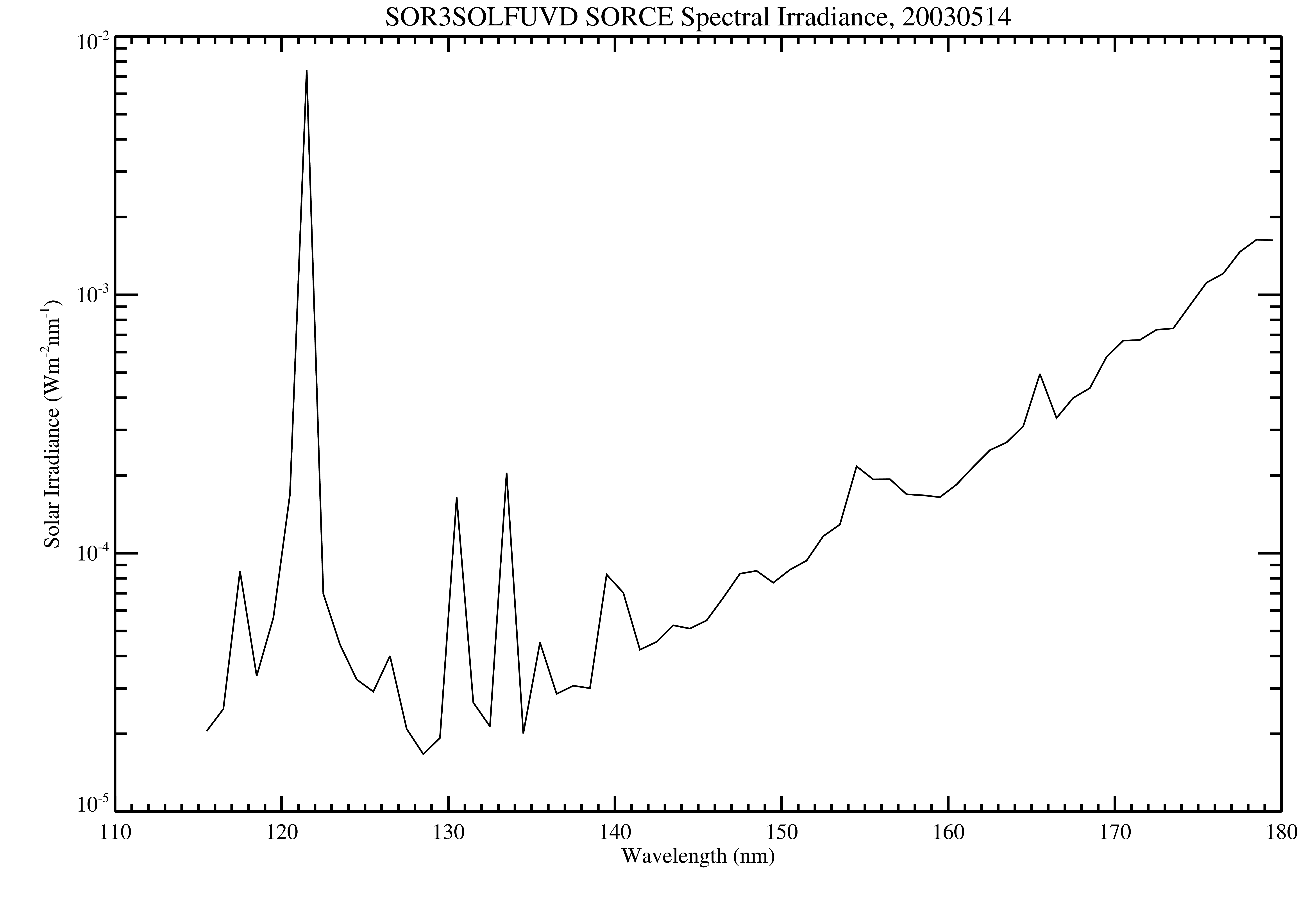
SORCE SOLSTICE FUV Level 3 Solar Spectral Irradiance Daily Means V018 (SOR3SOLFUVD) at GES DISC
National Aeronautics and Space Administration —
Version 018 is the final version of this data product, and supersedes all previous versions. The SORCE SOLSTICE Far-UV Solar Spectral Irradiance (SSI) data product... -
Federal
Polar Radiant Energy in the Far InfraRed Experiment (PREFIRE) Surface Emissivity Sorted All-sky Climatology from PREFIRE Satellite 2 R01
National Aeronautics and Space Administration —
Polar Radiant Energy in the Far InfraRed Experiment (PREFIRE) Surface Emissivity Sorted All-sky Climatology from PREFIRE Satellite 2 (PREFIRE_SAT2_3-SFC-... -
Federal
Polar Radiant Energy in the Far InfraRed Experiment (PREFIRE) Satellite 2 telemetry R01
National Aeronautics and Space Administration —
Polar Radiant Energy in the Far InfraRed Experiment (PREFIRE) Satellite 2 Telemetry (PREFIRE_SAT2_0-BUS-TLM) contains positioning and pointing information for one of...

Official websites use .gov
A
.gov website belongs to an official government
organization in the United States.
Secure .gov websites use HTTPS
A
lock (
) or https:// means you’ve safely connected to
the .gov website. Share sensitive information only on official,
secure websites.