
-
Federal
GPM SSMIS on F16 (GPROF) Climate-based Radiometer Precipitation Profiling 1.5 hours 12 km V07 (GPM_2AGPROFF16SSMIS_CLIM) at GES DISC
National Aeronautics and Space Administration —
Version 07 is the current version of the data set. Older versions will no longer be available and have been superseded by Version 07. The 'CLIM' products differ from... -
Federal
GPM SSMIS on F17 (GPROF) Radiometer Precipitation Profiling L3 1 day 0.25 degree x 0.25 degree V07 (GPM_3GPROFF17SSMIS_DAY) at GES DISC
National Aeronautics and Space Administration —
Version 07 is the current version of the data set. Older versions will no longer be available and have been superseded by Version 07. 3GPROF products provide global... -
Federal
Multisensor Analyzed Sea Ice Extent - Northern Hemisphere (MASIE-NH), Version 1
National Aeronautics and Space Administration —
The Multisensor Analyzed Sea Ice Extent - Northern Hemisphere (MASIE-NH) products provide measurements of daily sea ice extent and sea ice edge boundary for the... -
Federal
Arctic Ocean Drift Tracks from Ships, Buoys, and Manned Research Stations, 1872-1973, Version 1
National Aeronautics and Space Administration —
Thirty-four drift tracks in the Arctic Ocean pack ice are collected in a unified tabular data format, one file per track. Data are from drifting ships, manned... -
Federal
ABoVE: Climate Drivers of Pan-Arctic Tundra Vegetation Productivity, 1982-2015
National Aeronautics and Space Administration —
This dataset provides a summary of potential climate drivers of Arctic tundra vegetation productivity that have been compiled for growing seasons from 1982 to 2015.... -
Federal
ORACLES Trace Gas Aircraft InSitu Data
National Aeronautics and Space Administration —
ORACLES_TraceGas_AircraftInSitu_Data are in situ trace gas measurements collected onboard the P-3 Orion or ER-2 aircraft during the ObseRvations of Aerosols above... -
Federal
CALIPSO Lidar Level 3 Stratospheric Aerosol Profiles Standard V1-00
National Aeronautics and Space Administration —
CAL_LID_L3_Stratospheric_APro-Standard-V1-00 is the Cloud-Aerosol Lidar and Infrared Pathfinder Satellite Observation (CALIPSO) Lidar Level 3 Stratospheric Aerosol... -
Federal
Arctic Sea Ice Freeboard and Thickness, Version 1
National Aeronautics and Space Administration —
This data set provides measurements of sea ice freeboard and sea ice thickness for the Arctic region. The data were derived from measurements made by from the Ice,... -
Federal
MODIS/Terra+Aqua BRDF/Albedo Parameter3 NIR Daily L3 Global 30ArcSec CMG V061
National Aeronautics and Space Administration —
The MCD43D27 Version 6.1 Bidirectional Reflectance Distribution Function and Albedo (BRDF/Albedo) Model Parameter dataset is produced daily using 16 days of Terra and... -
Federal
NLDAS Primary Forcing Data L4 Monthly 0.125 x 0.125 degree V2.0 (NLDAS_FORA0125_M) at GES DISC
National Aeronautics and Space Administration —
This data product contains the monthly primary forcing data "File A" for Phase 2 of the North American Land Data Assimilation System (NLDAS-2). The data are in 1/8th... -
Federal
International Satellite Cloud Climatology Project (ISCCP) Stage D2 Monthly Cloud Products - Revised Algorithm in Hierarchical Data Format
National Aeronautics and Space Administration —
The ISCCP_D2 data set contains monthly, 280 KM equal-area grid data from various polar and geostationary satellites. Climatological Summary Product contents contain... -
Federal
International Satellite Cloud Climatology Project (ISCCP) Ice Snow Product in Native Data Format
National Aeronautics and Space Administration —
ISCCP_ICESNOW_NAT_1 is the International Satellite Cloud Climatology Project (ISCCP) Ice Snow Product in Native Data Format data set. It is a merged product... -
Federal
Global Monthly Climatology for the Twentieth Century (New et al.)
National Aeronautics and Space Administration —
This is a data set of mean monthly surface climate data over global land areas, excluding Antarctica, for nearly all of the twentieth century. The data set is gridded... -
Federal
CYGNSS Level 2 Climate Data Record Version 1.1
National Aeronautics and Space Administration —
This dataset contains the Version 1.1 CYGNSS Level 2 Climate Data Record which provides the time-tagged and geolocated average wind speed (m/s) and mean square slope... -
Federal
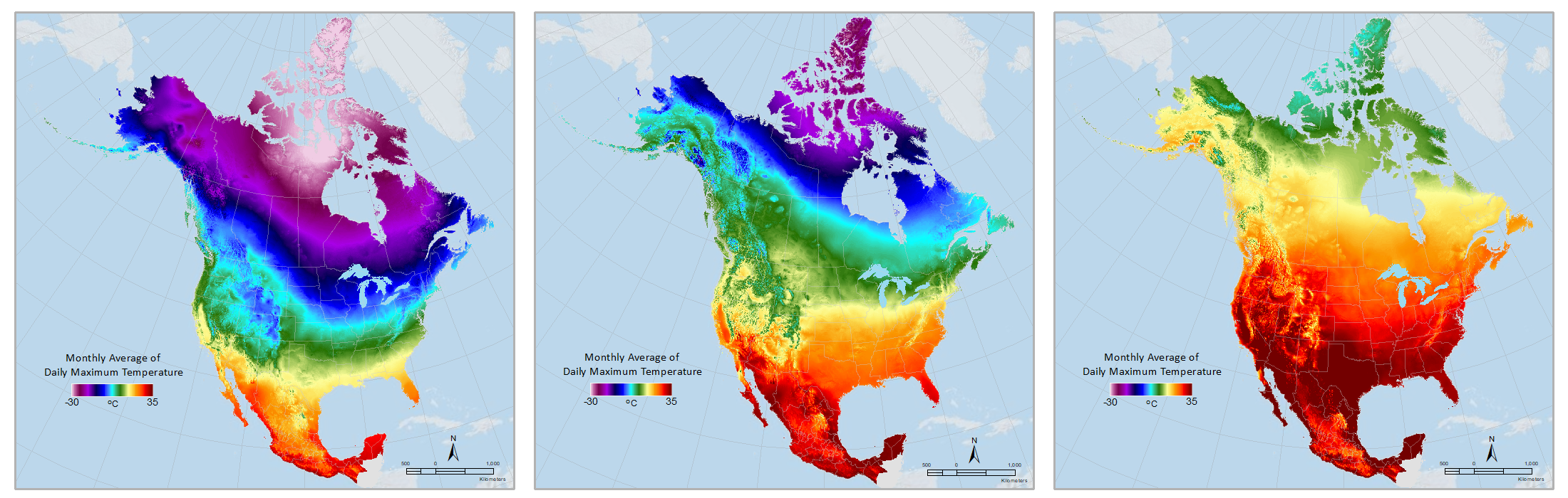
Daymet: Monthly Climate Summaries on a 1-km Grid for North America, Version 4 R1
National Aeronautics and Space Administration —
This dataset provides Daymet Version 4 R1 monthly climate summaries derived from Daymet Version 4 R1 daily data at a 1 km x 1 km spatial resolution for five Daymet... -
Federal
CYGNSS Level 3 Climate Data Record Version 1.0
National Aeronautics and Space Administration —
This dataset contains the Version 1.0 CYGNSS Level 3 Climate Data Record which provides the average wind speed and mean square slope (MSS) on a 0.2x0.2 degree... -
Federal
Sentinel-6 NASA/JPL GNSS-RO Near-Real-Time Level 1B V1 (S6A_RO_1B_NRT_NC__) at GES DISC
National Aeronautics and Space Administration —
This dataset provides the L1B Global Navigation Satellite System (GNSS) Radio-Occultation (RO) Near-Real-Time (NRT) retrieval generated by NASA's Jet Propulsion... -
Federal
VIIRS/NPP BRDF/Albedo WSA at Solar Noon NIR Daily L3 Global 30ArcSec CMG V001
National Aeronautics and Space Administration —
The VNP43D77 Version 1 data product was decommissioned on July 31, 2025. Users are encouraged to use theFederalANTARES Baja California Station
National Aeronautics and Space Administration —
The ANTARES regional network is composed of coastal time-series stations located around Latin America (www.antares.ws). The main goal is to study long-term changes...FederalMODIS/Terra Vegetation Indices Monthly L3 Global 0.05Deg CMG V006
National Aeronautics and Space Administration —
The MOD13C2 Version 6 data product was decommissioned on July 31, 2023. Users are encouraged to use the MOD13C2...1,908 datasets found for "climate"

Official websites use .gov
A
.gov website belongs to an official government
organization in the United States.
Secure .gov websites use HTTPS
A
lock (
) or https:// means you’ve safely connected to
the .gov website. Share sensitive information only on official,
secure websites.