

71 datasets found for "ScienceDirect Reference Works dataset 2022 by domain"
-
Federal
TOVS GLA DAILY GRIDS from NOAA-10 V01 (TOVSADNG) at GES DISC
National Aeronautics and Space Administration —
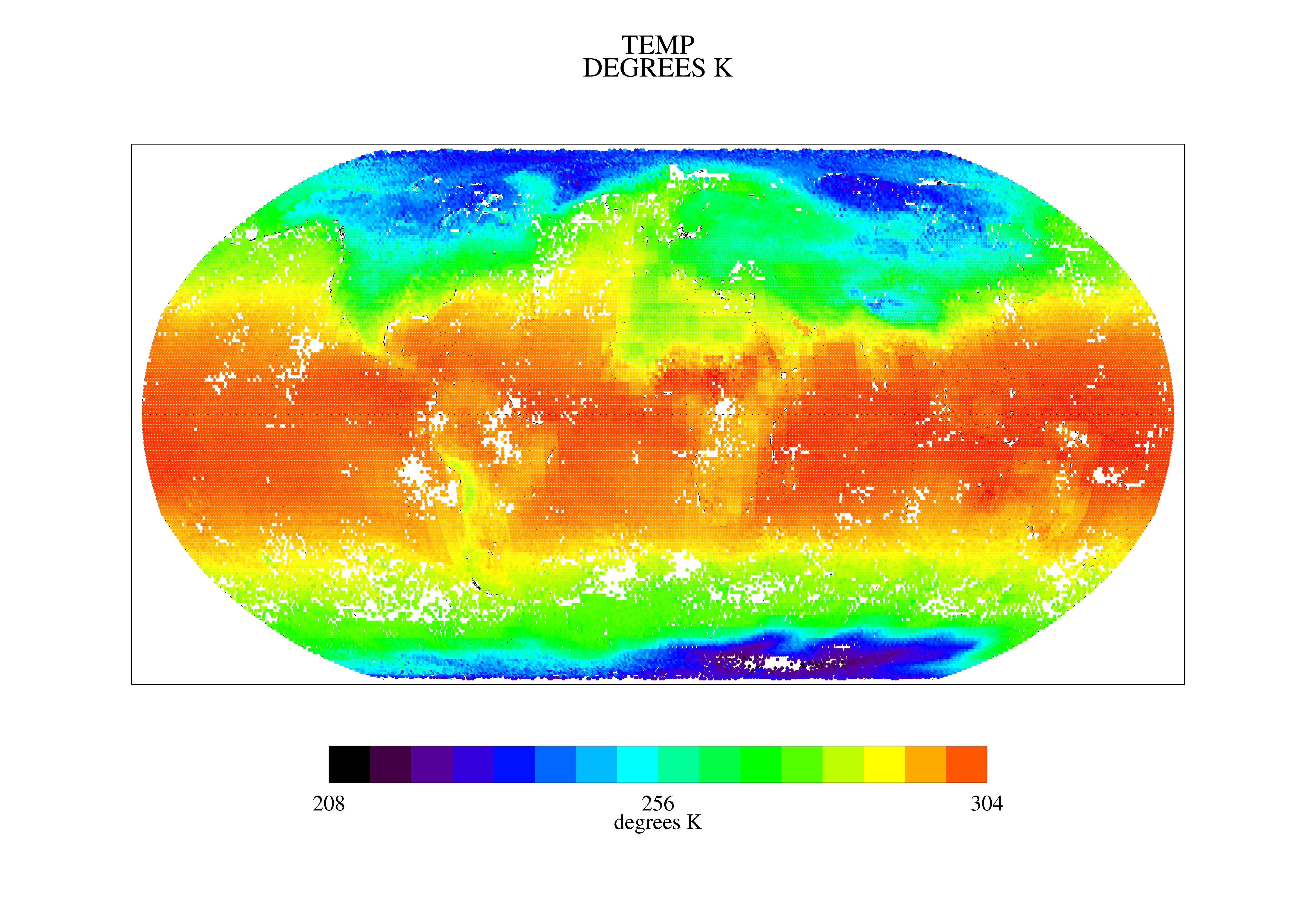
This dataset (TOVSADNG) contains the TIROS Operational Vertical Sounder (TOVS) level 3 geophysical parameters derived using data from NOAA-10 and the physical... -
Federal
TOVS GLA 5 DAY GRIDS from TIROSN V01 (TOVSA5TN ) at GES DISC
National Aeronautics and Space Administration —
This dataset (TOVSA5TN) contains the TIROS Operational Vertical Sounder (TOVS) level 3 geophysical parameters derived using data from TIROS-N and the physical... -
Federal
NOAA/WDS Paleoclimatology - Bigio fire data from Tarbagatai, Siberia - IMPD RUTAR001
National Oceanic and Atmospheric Administration, Department of Commerce —
This archived Paleoclimatology Study is available from the NOAA National Centers for Environmental Information (NCEI), under the World Data Service (WDS) for... -
Federal
United States Utility-Scale PV Supply Curves 2023
Department of Energy —
This data packet contains supply curves, hourly generation profiles, and a composite siting exclusion TIFF for utility-scale PV across the contiguous United States.... -
Federal
NOAA/WDS Paleoclimatology - Bigio fire data from Subuktui, Siberia - IMPD RUSUB001
National Oceanic and Atmospheric Administration, Department of Commerce —
This archived Paleoclimatology Study is available from the NOAA National Centers for Environmental Information (NCEI), under the World Data Service (WDS) for... -
Federal
NOAA/WDS Paleoclimatology - Bigio fire data from Kyachta/Selenga boundary, Siberia - IMPD RUKYB001
National Oceanic and Atmospheric Administration, Department of Commerce —
This archived Paleoclimatology Study is available from the NOAA National Centers for Environmental Information (NCEI), under the World Data Service (WDS) for... -
Federal
Delta-X: Land Subsidence Rate, Mississippi River Delta (MRD), Louisiana, USA
National Aeronautics and Space Administration —
This dataset provides estimates of land subsidence rates for the Delta-X domain area within the Atchafalaya and Terrebonne basins for 2021. The study area is a... -
Federal
JPSS-2 CrIS Level 1B Beta Full Spectral Resolution V3 (SNDRJ2CrISL1B) at GES DISC
National Aeronautics and Space Administration —
The goal of creating this product is to allow users to begin working with data from the CrIS instrument on-board the recently launched NOAA-21 / JPSS-2 (J2)... -
Federal
Wind Turbine Road Setbacks: Ordinances (2022) and Extrapolated Trends, 115 Hub Height 170 Rotor Diameter
Department of Energy —
This dataset represents wind energy setback requirements from roads based on existing county ordinances as of April 2022. A setback requirement is a minimum distance... -
Federal
NOAA/WDS Paleoclimatology - Bigio fire data from Okino Klyuchi, Siberia - IMPD RUOKI001
National Oceanic and Atmospheric Administration, Department of Commerce —
This archived Paleoclimatology Study is available from the NOAA National Centers for Environmental Information (NCEI), under the World Data Service (WDS) for...
71 datasets found for "ScienceDirect Reference Works dataset 2022 by domain"