

67 datasets found for "Habitat"
-
Federal
CRED Cumulative Map of Percent Scleractinian Coral Cover at Anatahan
National Oceanic and Atmospheric Administration, Department of Commerce —
This map displays optical validation observation locations and percent coverage of scleractinian coral overlaid on bathymetry. -
Federal
CRED Cumulative Map of Percent Scleractinian Coral Cover at Agrihan
National Oceanic and Atmospheric Administration, Department of Commerce —
This map displays optical validation observation locations and percent coverage of scleractinian coral overlaid on bathymetry. -
Federal
Imagery data for the Vegetation Mapping Inventory Project of Lava Beds National Monument
Department of the Interior —
This reference contains the imagery data used in the completion of the baseline vegetation inventory project for the NPS park unit. Orthophotos, raw imagery, and... -
Federal
Predicted Habitat Suitability for Montipora in the Au'au Channel Region
National Oceanic and Atmospheric Administration, Department of Commerce —
This raster denotes predicted habitat suitability for Montipora in the Auau Channel region. Maximum Entropy (MaxEnt) modeling software was used to create this... -
Federal
RLC AVHRR-Derived Land Cover, Former Soviet Union, Far East, 1-km, 1990
National Aeronautics and Space Administration —
This data set is a 1-kilometer resolution land cover map for the land area of the Primor'ye and Southern Khabarovsk Regions, in the Russian Far East, based on 1990... -
Federal
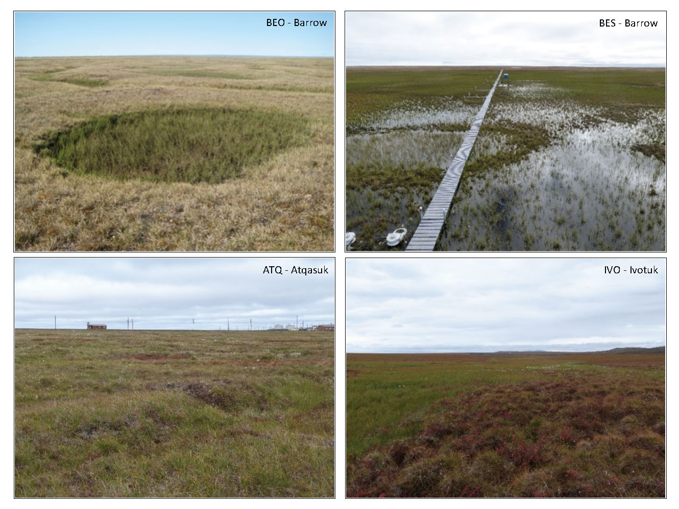
Arctic Vegetation Plots in Flux Tower Footprints, North Slope, Alaska, 2014
National Aeronautics and Space Administration —
This data set provides vegetation, environmental, and soil data collected from plots located in the footprints of eddy covariance flux towers along a 300 km north-... -
Federal
CRED Cumulative Map of Percent Scleractinian Coral Cover at Johnston Atoll, 2004
National Oceanic and Atmospheric Administration, Department of Commerce —
This map displays optical validation observation locations and percent coverage of scleractinian coral overlaid on bathymetry.
67 datasets found for "Habitat"