
-
Federal
Site Averaged Neutron Soil Moisture: 1987 (Betts)
National Aeronautics and Space Administration —
The Site Averaged Neutron Soil Moisture Data: 1987 (Betts) Data Set contains the site averaged product data of the neutron probe soil moisture collected during the... -
Federal
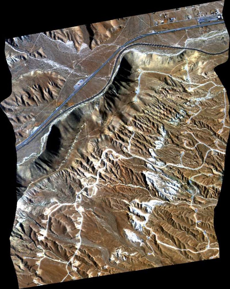
SMEX04 Soil Moisture Network Data: Sonora, Version 1
National Aeronautics and Space Administration —
Notice to Data Users: The documentation for this data set was provided solely by the Principal Investigator(s) and was not further developed, thoroughly reviewed, or... -
Federal
RSS SSM/I OCEAN PRODUCT GRIDS 3-DAY AVERAGE FROM DMSP F14 NETCDF V7
National Aeronautics and Space Administration —
The RSS SSM/I Ocean Product Grids 3-Day Average from DMSP F14 netCDF dataset is part of the collection of Special Sensor Microwave/Imager (SSM/I) and Special Sensor... -
Federal
RSS CCMP Monthly 10 Meter Surface Winds Level 4 Version 3.1
National Aeronautics and Space Administration —
This data set contains a monthly-mean, 0.25 degree resolution, near-global gridded analysis of ocean surface winds (wind speed, components, and anomalies) from the... -
Federal
MODIS/Terra+Aqua BRDF/Albedo Parameter2 Band2 Daily L3 Global 30ArcSec CMG V006
National Aeronautics and Space Administration —
The MCD43D05 Version 6 data product was decommissioned on July 31, 2023. Users are encouraged to use the MCD43D05 Version 6.1 data product.The MCD43D05 Version 6... -
Federal
MODIS/Terra+Aqua BRDF/Albedo Parameter1 Band4 Daily L3 Global 30ArcSec CMG V061
National Aeronautics and Space Administration —
The MCD43D10 Version 6.1 Bidirectional Reflectance Distribution Function and Albedo (BRDF/Albedo) Model Parameter dataset is produced daily using 16 days of Terra and... -
Federal
MODIS/Terra+Aqua BRDF/Albedo Parameter1 NIR Daily L3 Global 30ArcSec CMG V006
National Aeronautics and Space Administration —
The MCD43D25 Version 6 data product was decommissioned on July 31, 2023. Users are encouraged to use the MCD43D25 Version 6.1 data product.The MCD43D25 Version 6... -
Federal
MODIS/Terra+Aqua BRDF/Albedo Black Sky Albedo VIS Daily L3 Global 30ArcSec CMG V061
National Aeronautics and Space Administration —
The MCD43D49 Version 6.1 Bidirectional Reflectance Distribution Function and Albedo (BRDF/Albedo) Black-Sky Albedo dataset is produced daily using 16 days of Terra... -
Federal
First ISCCP Regional Experiment (FIRE) Cirrus 1 Surface Radiation Budget (SRB) Data over Canada
National Aeronautics and Space Administration —
The First ISCCP Regional Experiments have been designed to improve data products and cloud/radiation parameterizations used in general circulation models (GCMs).... -
Federal
AVIRIS-Classic: L1B Calibrated Radiance, Facility Instrument Collection, V1
National Aeronautics and Space Administration —
This dataset contains Level 1B (L1B) orthocorrected, scaled radiance image files as well as files of observational geometry and illumination parameters and supporting... -
Federal
AVIRIS-Classic: L2 Calibrated Reflectance, Facility Instrument Collection, V1
National Aeronautics and Space Administration —
This dataset contains Level 2 (L2) orthocorrected reflectance from the Airborne Visible / Infrared Imaging Spectrometer (AVIRIS-Classic) instrument. This is the NASA... -
Federal
Blue Carbon-based Natural Climate Solutions, Priority Maps for the U.S., 2006-2011
National Aeronautics and Space Administration —
This dataset contains shapefiles showing location of tidal wetland parcels with the potential for net greenhouse gas removal if restored from current mapped condition... -
Federal
Spitzer South Ecliptic Pole MIPS 24 micron Point Source Catalog
National Aeronautics and Space Administration —
The Spitzer/MIPS 24 and 70 μm imaging of an 11.5 square degree region near the South Ecliptic Pole (SEP) has been carried out in order to complement sub-millimeter... -
Federal
Anchorage (HLMS) Ground-based Vector Magnetic Field (L2) 0.5 s Data
National Aeronautics and Space Administration —
Anchorage (High-Latitude Monitoring Station), AK, Ground-based Vector Magnetic Field Level 2 Data, 0.5 s Time Resolution, Station Code: (HLMS), Station Location: (GEO... -
Federal
Derby (DRBY) Ground-based Vector Magnetic Field (L2) 0.5 s Data
National Aeronautics and Space Administration —
Derby, VT, Ground-based Vector Magnetic Field Level 2 Data, 0.5 s Time Resolution, Station Code: (DRBY), Station Location: (GEO Latitude 45.0, Longitude 287.9),... -
Federal
Ground-Based Global Navigation Satellite System (GNSS) Indian Regional Navigation Satellite System (IRNSS) Broadcast Ephemeris Data (30-second sampling, hourly files) from NASA CDDIS
National Aeronautics and Space Administration —
This dataset consists of ground-based Global Navigation Satellite System (GNSS) Indian Regional Navigation Satellite System (IRNSS) Broadcast Ephemeris Data (hourly... -
Federal
HAQES 3-Hourly Ensemble mean surface PM2.5 Organic Carbon concentration at census level, North America V1 (HAQES_NA_PM25_OC_CENSUS) at GES DISC
National Aeronautics and Space Administration —
This product provides HAQES 3-hourly ensemble mean surface PM2.5 Organic Carbon concentration at the census level over the continental United States (CONUS). The... -
Federal
CERES and GEO-Enhanced TOA, Within-Atmosphere and Surface Fluxes, Clouds and Aerosols Daily Terra-NOAA20 Edition4A
National Aeronautics and Space Administration —
CER_SYN1deg-Day_Terra-NOAA20_Edition4A is the Clouds and the Earth's Radiant Energy System (CERES) and geostationary (GEO)-Enhanced Top-of-Atmosphere (TOA), Within-...

Official websites use .gov
A
.gov website belongs to an official government
organization in the United States.
Secure .gov websites use HTTPS
A
lock (
) or https:// means you’ve safely connected to
the .gov website. Share sensitive information only on official,
secure websites.