

690 datasets found for "u64텔레그램ErrorBased➧오피디비상담ㄱ%"
-
Federal
BOREAS 1994 HYD-09 Belfort Rain Gauge Data
National Aeronautics and Space Administration —
This data set contains the measurements from the Belfort rain gauges at the BOREAS NSA andSSA. These measurements were submitted in 15-minute and 1-hour intervals.... -
Federal
BigFoot NPP Surfaces for North and South American Sites, 2000-2004
National Aeronautics and Space Administration —
The BigFoot project gathered Net Primary Production (NPP) data for nine EOS Land Validation Sites located from Alaska to Brazil from 2000 to 2004. Each site is... -
Federal
BOREAS Level-0 AOCI Imagery: Digital Counts in BIL Format
National Aeronautics and Space Administration —
The level-0 AOCI imagery, along with the other remotely sensed images, was collected to provide spatially extensive information about radiant energy over the primary... -
Federal
SAFARI 2000 GPCP Daily Precipitation, 1-Deg, 1999-2001
National Aeronautics and Space Administration —
The Global Precipitation Climatology Project (GPCP) is an international project designed to provide improved long-record estimates of precipitation over the globe.... -
Federal
FIFE CDROM Vol. 3 Contents: NS001 Thematic Mapper Simulator (TMS) Imagery, 1987-1989
National Aeronautics and Space Administration —
This data set provides aircraft-based NS001 Thematic Mapper Simulator (TMS) images of the study area associated with The First ISLSCP (International Satellite Land... -
Federal
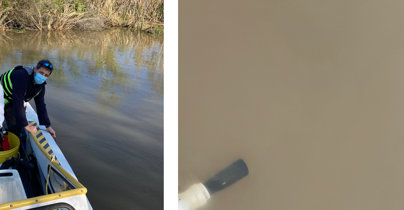
Delta-X: In Situ Water Quality Indicators across MRD, LA, USA, 2021, Version 2
National Aeronautics and Space Administration —
This dataset provides in situ measurements of water temperature (degrees C), salinity (PSU), turbidity (FNU), and chlorophyll-a fluorescence (RFU) in surface of the... -
Federal
Pre-LBA Rondonia Boundary Layer Experiment (RBLE) Data
National Aeronautics and Space Administration —
The atmospheric boundary layer (ABL) is the layer of air closest to the ground which is directly influenced on a daily basis by the heating and cooling of the earth's... -
Federal
Ground-Based Vegetation Community Photos, Toolik Lake Area, Alaska, 2014-2015
National Aeronautics and Space Administration —
This dataset contains 731 ground-based nadir vegetation community and ground surface photographs of selected field plots taken as ground reference data for vegetation... -
Federal
Soil Moisture Release Data (FIFE)
National Aeronautics and Space Administration —
This data product was created based on the hypothesis that a variety of ground truth observations of soil moisture could be combined to estimate equal soil moisture... -
Federal
Blue Carbon-based Natural Climate Solutions, Priority Maps for the U.S., 2006-2011
National Aeronautics and Space Administration —
This dataset contains shapefiles showing location of tidal wetland parcels with the potential for net greenhouse gas removal if restored from current mapped condition...
690 datasets found for "u64텔레그램ErrorBased➧오피디비상담ㄱ%"