

70,107 datasets found for "34m실시간대출DB상담❤️⊇텔레그램howDB[⊆"
-
Federal
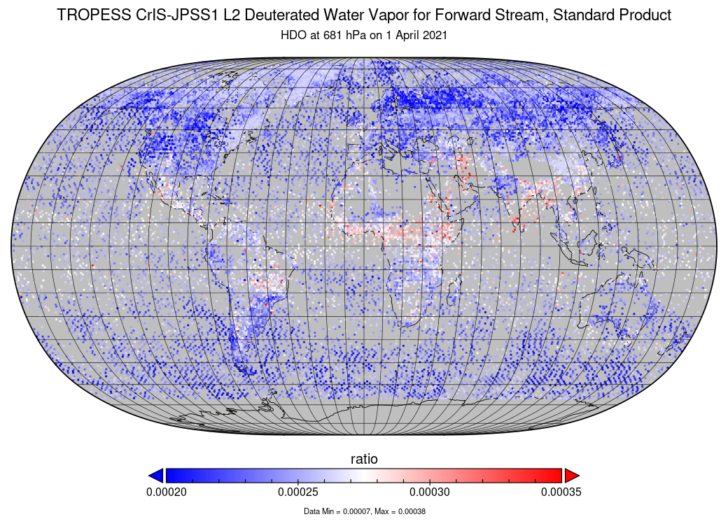
TROPESS CrIS-JPSS1 L2 Deuterated Water Vapor for Forward Stream, Standard Product V1 (TRPSDL2HDOCRS1FS) at GES DISC
National Aeronautics and Space Administration —
The TROPESS CrIS-JPSS1 L2 Deuterated Water Vapor for Forward Stream, Standard Product contains the vertical distribution of the retrieved atmospheric state of semi-... -
Federal
TROPICS05 L2A Unified Resolution Brightness Temperatures V0.2
National Aeronautics and Space Administration —
The "Time-Resolved Observations of Precipitation structure and storm Intensity with a Constellation of Smallsats" (TROPICS) mission has a goal of providing nearly... -
Federal
TES/Aura L2 Instantaneous Radiative Kernel Nadir Special Observation V008
National Aeronautics and Space Administration —
TL2IRKNS_8 is the Tropospheric Emission Spectrometer (TES)/Aura Level 2 Instantaneous Radiative Kernel Nadir Special Observation Version 8 data product. TES was an... -
Federal
Standard Deviation of Monthly Frequency of Dust Storm over Land for Varying Intensities, Based on MODIS Aqua Deep Blue Level 2 Aerosol Products MYD04_L2 Collection 6.1, on a Global 0.1 by 0.1 Degree Grid, Level 3 Version 1 (MYDFDS_SDV_GLB_L3) at GES DISC
National Aeronautics and Space Administration —
Version 1 is the current version of the dataset.This collection MYDFDS_SDV_GLB_L3 provides level 3 standard deviation of climatological monthly frequency of dust... -
Federal
SMEX03 Soil Climate Analysis Network (SCAN): Oklahoma, Version 1
National Aeronautics and Space Administration —
This data set contains measurements taken during the Soil Moisture Experiment 2003 (SMEX03) from sensors at Soil Climate Analysis Network (SCAN) stations located in... -
Federal
SEASAT SCATTEROMETER DEALIASED OCEAN WIND VECTORS (Wentz et al.)
National Aeronautics and Space Administration —
Contains Seasat-A Scatterometer (SASS) wind vector measurements for the entire Seasat mission, from July 1978 until October 1978. The data are global and presented... -
Federal
NWS Daily Climatology Data: 1974 (SNF)
National Aeronautics and Space Administration —
Weather data were collected by the National Weather Service in International Falls, Minnesota. International Falls is about 80 miles from the SNF, but the weather... -
Federal
MODIS/Terra+Aqua BRDF/Albedo Nadir BRDF-Adjusted Ref Daily L3 Global 0.05Deg CMG V006
National Aeronautics and Space Administration —
The MCD43C4 Version 6 data product was decommissioned on July 31, 2023. Users are encouraged to use the MCD43C4 Version 6.1 data product.The Moderate Resolution... -
Federal
High-resolution topographic data and orthomosaics collected for two incised stream channels located in Red Clover Valley, Plumas, CA between 2021 and 2023
Department of the Interior —
This dataset includes high-resolution topography data and orthomosaics used to monitor surface change in two stream sites in Red Clover Valley, Plumas County,... -
Federal
Station RR13, Audiomagnetotelluric sounding data, Rio Grande rift, New Mexico, 1997-2004
Department of the Interior —
This data set includes the audio-magnetotelluric (AMT) sounding data collected from 1997 to 2004 in and near the Rio Grande rift, New Mexico. The U.S. Geological... -
Federal
Station CP29, Audiomagnetotelluric sounding data, Rio Grande rift, New Mexico, 1997-2004
Department of the Interior —
This data set includes the audio-magnetotelluric (AMT) sounding data collected from 1997 to 2004 in and near the Rio Grande rift, New Mexico. The U.S. Geological... -
Federal
Hydrographic Datasets for Hydrologic Unit 02080104 - Lower Rappahannock
Department of the Interior —
The Chesapeake Bay Hyper-Resolution Hydrography Database is intended to facilitate analysis of the landscape in the Chesapeake Bay watershed through identification of... -
Federal
Substrate Imagery Classifications for Lake Trout Spawning Habitat in Lake Ontario 2023-2024
Department of the Interior —
This dataset is the result of international collaborative efforts by the United States Geological Survey, the United States Fish and Wildlife Service, the New York... -
Federal
Sagebrush occupancy resulting from aerial seeding five years post-fire
Department of the Interior —
Evaluating factors that affect recovery of canopy-forming, foundational species is needed to guide effective treatment implementation aimed at mitigating their loss... -
Federal
Delmarva Peninsula Stream Survey (2022)
Department of the Interior —
U. S. Geological Survey (USGS) scientists completed a stream surveying campaign from the 25th of April to the 10th of June in 2022 at 100-meter reaches throughout 30... -
Federal
Digital data for a 3D geologic model of the Michigan Basin region, Illinois, Indiana, Michigan, Ohio, and Wisconsin, USA
Department of the Interior —
This digital GIS dataset and accompanying nonspatial files synthesize model outputs from a regional-scale volumetric 3D geologic model that portrays the generalized... -
Federal
Early Estimates of Exotic Annual Grass (EAG) in the Sagebrush Biome, USA, 2025 (ver. 8.0, June 2025)
Department of the Interior —
We provide fractional cover estimates for exotic annual grass (EAG) species and one native perennial grass species on a weekly basis from mid-April to late June 2025.... -
Federal
MODFLOW-2005 Groundwater Flow Model Used to Simulate Wastewater-Return-Flow Scenarios in Falmouth, Massachusetts
Department of the Interior —
The U.S. Geological Survey (USGS), in cooperation with the Town of Falmouth, used an existing groundwater flow model to simulate responses of the freshwater... -
Federal
3-hour, 1-km surface soil moisture dataset for the contiguous United States for 2019
Department of the Interior —
We simulated a 3-hour, 1-km spatially seamless surface soil moisture (SSM) dataset (called STF_SSM) in the Contiguous United States (CONUS) using a virtual image... -
Federal
Topographic Wetness Indexes for the Upper and Lower Colorado River Basins
Department of the Interior —
This U.S. Geological Survey (USGS) data release describes two 30-meter (m) raster datasets of topographic wetness indexes (TWI) for the Upper and Lower Colorado River...
70,107 datasets found for "34m실시간대출DB상담❤️⊇텔레그램howDB[⊆"