
-
Federal
SalmonSockeye_OzetteLakeESU_20050902
National Oceanic and Atmospheric Administration, Department of Commerce —
Critical habitat includes the stream channels within the designated stream reaches, and includes a lateral extent as defined by the ordinary high-water line (33 CFR... -
Federal
Steelhead_SnakeRiverBasinDPS_20050902
National Oceanic and Atmospheric Administration, Department of Commerce —
Critical habitat includes the stream channels within the designated stream reaches, and includes a lateral extent as defined by the ordinary high-water line (33 CFR... -
Federal
Steelhead_CaliforniaCentralValleyDPS_20050902
National Oceanic and Atmospheric Administration, Department of Commerce —
Critical habitat includes the stream channels within the designated stream reaches, and includes a lateral extent as defined by the ordinary high-water line (33 CFR... -
Federal
Steelhead_UpperWillametteRiverDPS_20050902
National Oceanic and Atmospheric Administration, Department of Commerce —
Critical habitat includes the stream channels within the designated stream reaches, and includes a lateral extent as defined by the ordinary high-water line (33 CFR... -
Federal
SalmonChum_ColumbiaRiverESU_20050902
National Oceanic and Atmospheric Administration, Department of Commerce —
Critical habitat includes the stream channels within the designated stream reaches, and includes a lateral extent as defined by the ordinary high-water line (33 CFR... -
Federal
Steelhead_PugetSoundDPS_20160224
National Oceanic and Atmospheric Administration, Department of Commerce —
Critical habitat includes the stream channels within the designated stream reaches, and includes a lateral extent as defined by the ordinary high-water line (33 CFR... -
Federal
Steelhead_SouthCentralCaliforniaCoastDPS_20050902
National Oceanic and Atmospheric Administration, Department of Commerce —
Critical habitat includes the stream channels within the designated stream reaches, and includes a lateral extent as defined by the ordinary high-water line (33 CFR... -
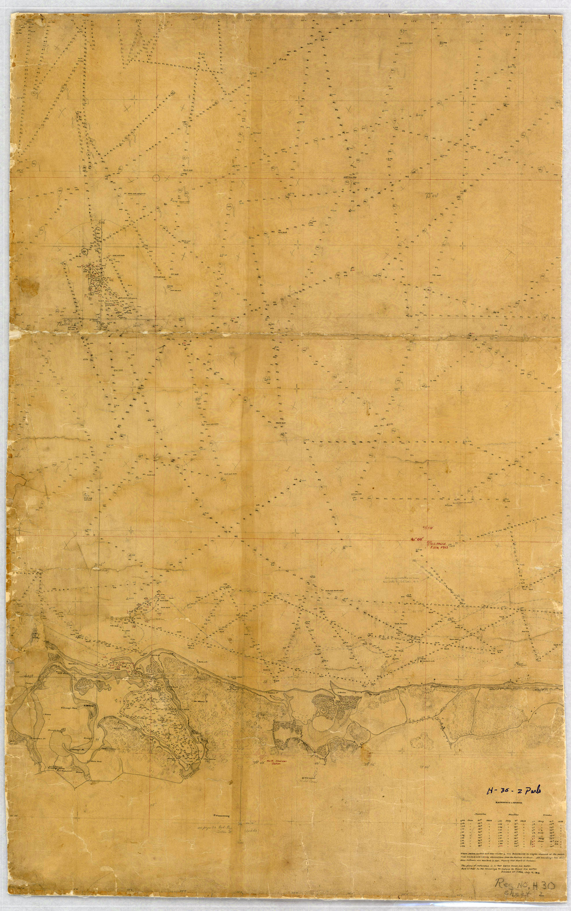
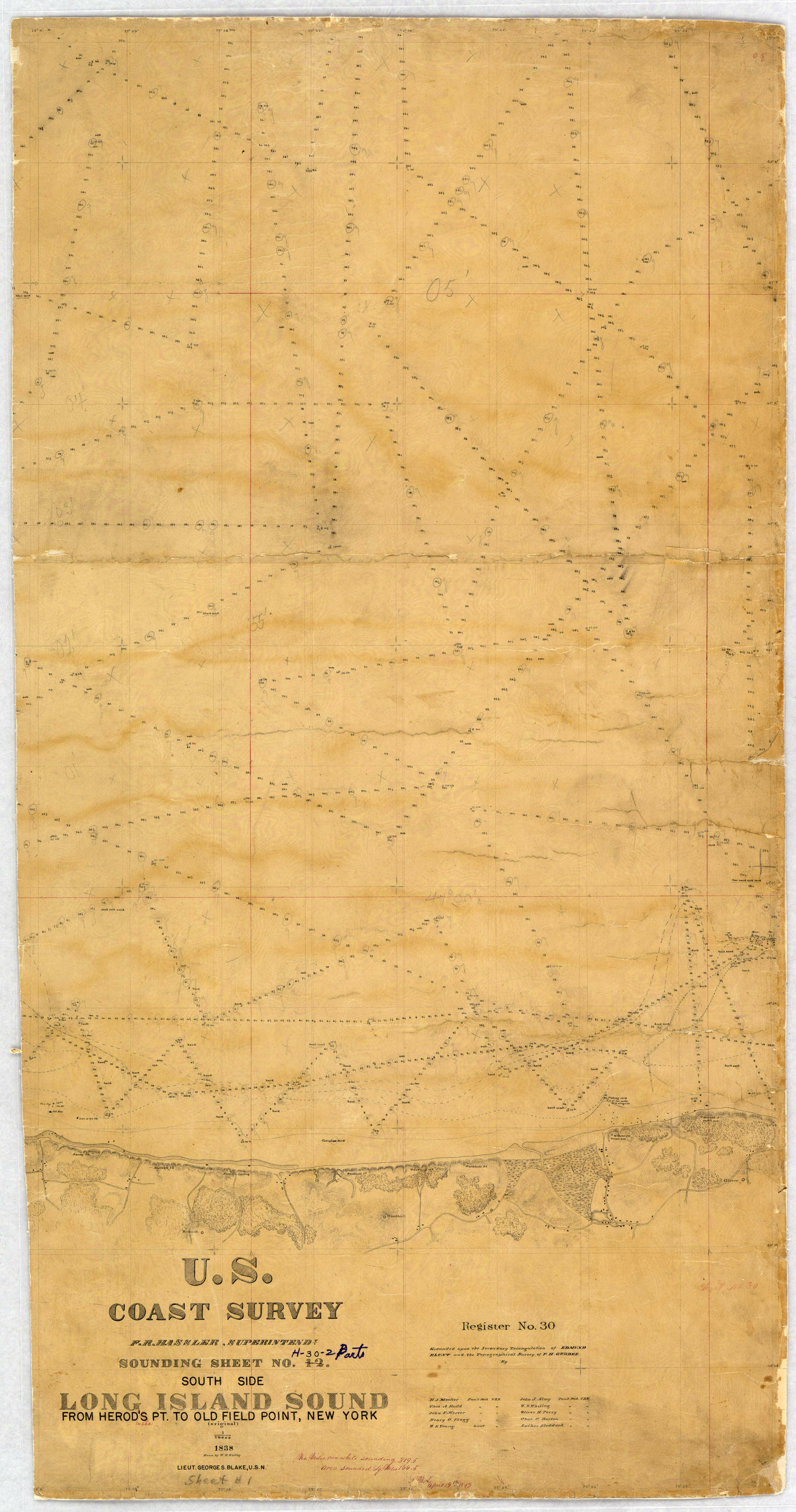
Federal
H00030: NOS Hydrographic Survey , 1838-12-31
National Oceanic and Atmospheric Administration, Department of Commerce —
The National Oceanic and Atmospheric Administration (NOAA) has the statutory mandate to collect hydrographic data in support of nautical chart compilation for safe... -
Federal
H01198: NOS Hydrographic Survey
National Oceanic and Atmospheric Administration, Department of Commerce —
The National Oceanic and Atmospheric Administration (NOAA) has the statutory mandate to collect hydrographic data in support of nautical chart compilation for safe... -
Federal
H01170B: NOS Hydrographic Survey
National Oceanic and Atmospheric Administration, Department of Commerce —
The National Oceanic and Atmospheric Administration (NOAA) has the statutory mandate to collect hydrographic data in support of nautical chart compilation for safe... -
Federal
H01170: NOS Hydrographic Survey
National Oceanic and Atmospheric Administration, Department of Commerce —
The National Oceanic and Atmospheric Administration (NOAA) has the statutory mandate to collect hydrographic data in support of nautical chart compilation for safe... -
Federal
H01577B: NOS Hydrographic Survey
National Oceanic and Atmospheric Administration, Department of Commerce —
The National Oceanic and Atmospheric Administration (NOAA) has the statutory mandate to collect hydrographic data in support of nautical chart compilation for safe... -
Federal
H01577: NOS Hydrographic Survey
National Oceanic and Atmospheric Administration, Department of Commerce —
The National Oceanic and Atmospheric Administration (NOAA) has the statutory mandate to collect hydrographic data in support of nautical chart compilation for safe... -
Federal
Benthic Habitats of the Main Hawaiian Islands Prepared by Visual Interpretation from Remote Sensing Imagery Collected by NOAA Year 2000: Hawaii
National Oceanic and Atmospheric Administration, Department of Commerce —
This project is a cooperative effort among the National Ocean Service, National Centers for Coastal Ocean Science, Center for Coastal Monitoring and Assessment; the... -
Federal
Benthic Habitats of the Main Hawaiian Islands Prepared by Visual Interpretation from Remote Sensing Imagery Collected by NOAA Year 2000: Kauai
National Oceanic and Atmospheric Administration, Department of Commerce —
This project is a cooperative effort among the National Ocean Service, National Centers for Coastal Ocean Science, Center for Coastal Monitoring and Assessment, the... -
Federal
Benthic Habitats of the Main Hawaiian Islands Prepared by Visual Interpretation from Remote Sensing Imagery Collected by NOAA Year 2000: Maui
National Oceanic and Atmospheric Administration, Department of Commerce —
This project is a cooperative effort among the National Ocean Service, National Centers for Coastal Ocean Science, Center for Coastal Monitoring and Assessment, the... -
Federal
NOAA ESRI Geotiff - 3m Bathymetry around Abrir La Sierra Bank, Puerto Rico, Project NF-07-06, 2007, UTM 19 NAD 83
National Oceanic and Atmospheric Administration, Department of Commerce —
This dataset contains an ESRI Geotiff with 3 meter cell size representing the bathymetry of selected portions of seafloor around Abrir La Sierra Bank in Puerto Rico,... -
Federal
NOAA TIFF Image - 1 m Backscatter Mosaic of Abrir La Sierra Bank, PR (2007) collected using a Kongsberg EM 1002 (95 kHz) multibeam echosounder
National Oceanic and Atmospheric Administration, Department of Commerce —
This image represents a 1 meter resolution backscatter mosaic of the Abrir La Sierra Bank off the coast of western Puerto Rico, collected using a Kongsberg EM 1002... -
Federal
NOAA ESRI Geotiff - 10m Bathymetry around Isla de Mona, Puerto Rico, Project NF-07-06, 2007, UTM 19 NAD 83
National Oceanic and Atmospheric Administration, Department of Commerce —
This dataset contains an ESRI Geotiff with 10 meter cell size representing the bathymetry of selected portions of seafloor around Isla De Mona in Puerto Rico, derived... -
Federal
Benthic Habitats of the Main Hawaiian Islands Prepared by Visual Interpretation from Remote Sensing Imagery Collected by NOAA Year 2000: Oahu (Section 1)
National Oceanic and Atmospheric Administration, Department of Commerce —
This project is a cooperative effort among the National Ocean Service, National Centers for Coastal Ocean Science, Center for Coastal Monitoring and Assessment, the...

Official websites use .gov
A
.gov website belongs to an official government
organization in the United States.
Secure .gov websites use HTTPS
A
lock (
) or https:// means you’ve safely connected to
the .gov website. Share sensitive information only on official,
secure websites.