

71 datasets found
-
State
Photogrammetric digital surface models and orthoimagery of Mackenzie Road, December 5, 2018
State of Alaska —
The State of Alaska Division of Geological & Geophysical Surveys (DGGS) produced digital surface models (DSMs) and orthorectified aerial imagery (orthoimagery)... -
Federal
Utah FORGE: Well 16A(78)-32 Simplified Discrete Fracture Network Data
Department of Energy —
The FORGE team is making these fracture models available to researchers wanting a set of natural fractures in the FORGE reservoir for use in their own modeling work.... -
State
Photogrammetric digital surface models and orthoimagery of Minnesota Drive, December 5, 2018
State of Alaska —
The State of Alaska Division of Geological & Geophysical Surveys (DGGS) produced digital surface models (DSMs) and orthorectified aerial imagery (orthoimagery)... -
State
Photogrammetric digital surface models and orthoimagery of Pittman Road, December 5, 2018
State of Alaska —
The State of Alaska Division of Geological & Geophysical Surveys (DGGS) produced digital surface models (DSMs) and orthorectified aerial imagery (orthoimagery)... -
Federal
EGS Collab Experiment 1: Second Set Tracer Test Results
Department of Energy —
The EGS Collab project is developing ~10-20 m-scale field sites where fracture stimulation and flow models can be validated against controlled, small-scale, in-situ... -
Federal
Utah FORGE: InSAR Data Best Pairs
Department of Energy —
This submission provides Interferometric Synthetic Aperture Radar (InSAR) data covering the Utah FORGE site via the TerraSAR-X and TanDEM-X satellite missions... -
Federal
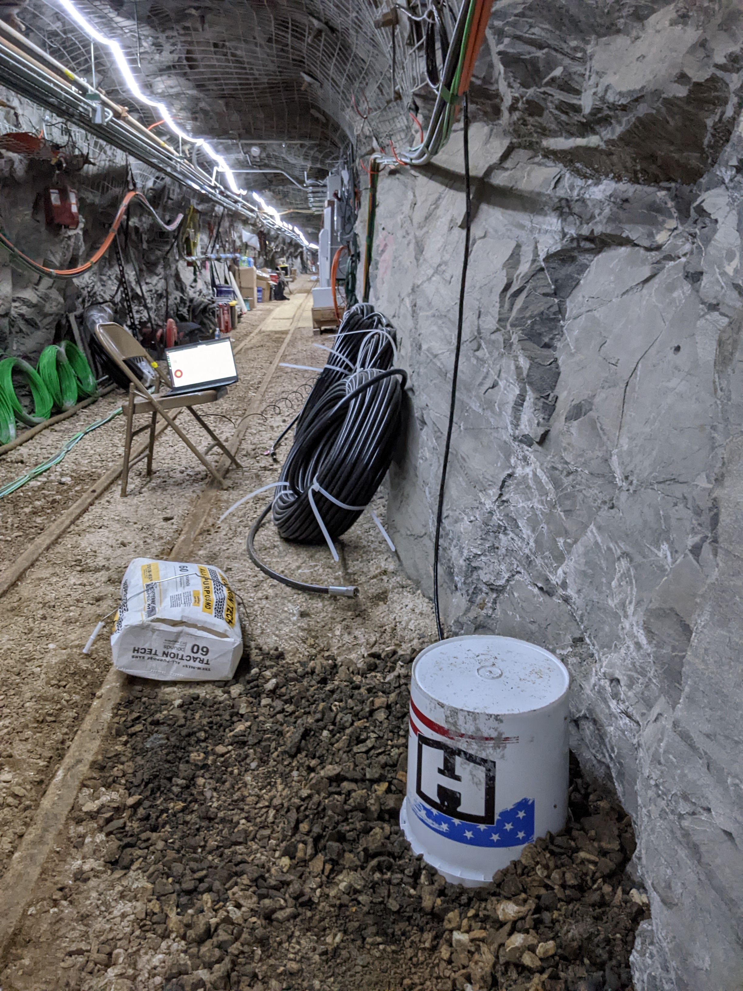
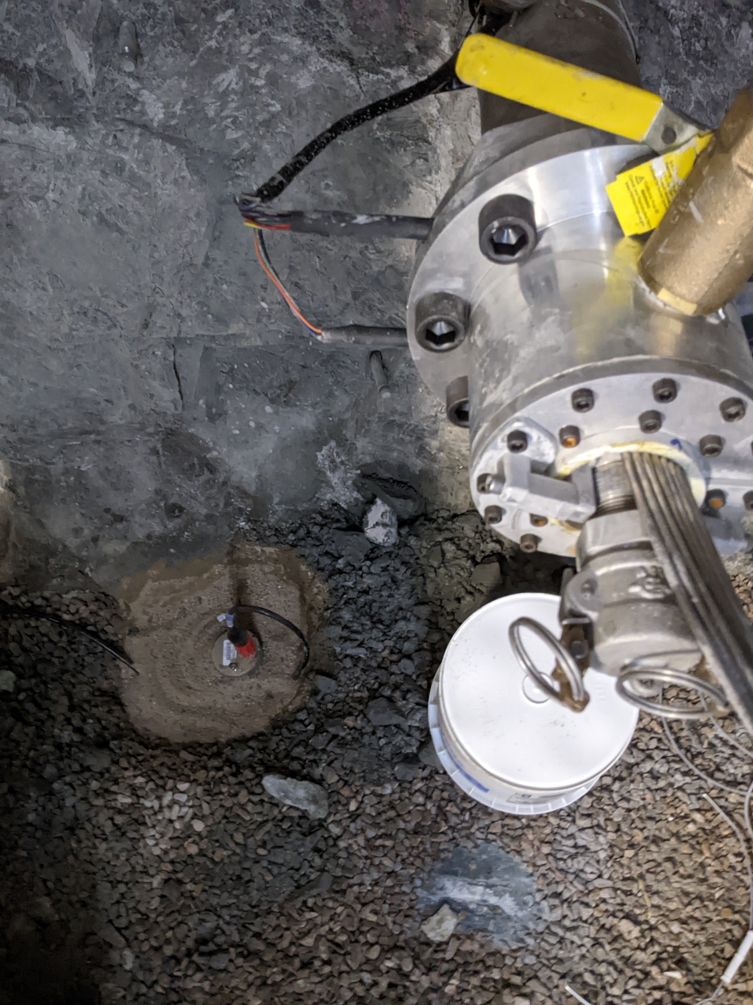
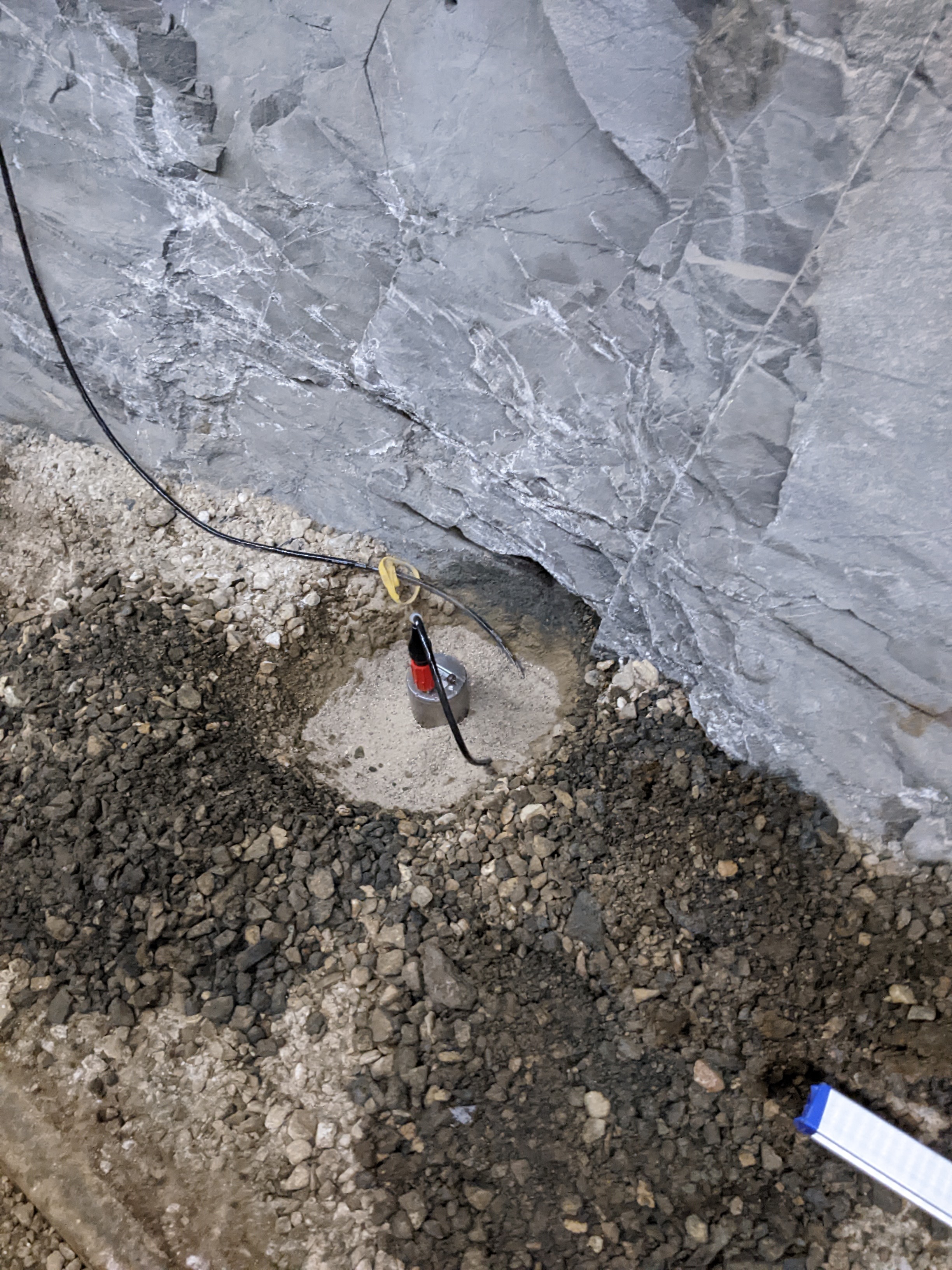
EGS Collab: Hydraulic Fracturing Test Measurements on the 4100L of SURF
Department of Energy —
This package includes data from two days of testing at the Sanford Underground Research Facility (SURF) on the 4100 level. The tests were performed in borehole TV4100... -
Federal
EGS Collab: Modeling and Simulation Working Group Teleconference Series (99-128)
Department of Energy —
This submission contains the presentation slides and recordings from EGS Collab Modeling and Simulation Working Group (MSWG) teleconferences number 99 through 128.... -
State
40Ar/39Ar data, Styx River map area, Lime Hills C-1 Quadrangle, Alaska
State of Alaska —
This DGGS Raw Data File presents 40Ar/39Ar age dating results for selected igneous rocks encountered in the Styx River area of the western Alaska Range.... -
Federal
Utah FORGE: Development of Multi-Stage Fracturing System and Wellbore Tractor to Enable Zonal Isolation During Stimulation and EGS Operations in Horizontal Wellbores
Department of Energy —
This paper discusses the progress on a project funded by the DOE Utah FORGE (Frontier Observatory for Research in Geothermal Energy) for the development of a... -
State
Photogrammetric digital surface models and orthoimagery of Lake O the Hills neighborhood, December 5, 2018
State of Alaska —
The State of Alaska Division of Geological & Geophysical Surveys (DGGS) produced digital surface models (DSMs) and orthorectified aerial imagery (orthoimagery)... -
Federal
Utah FORGE 5-2557: Fluid and Temperature in Fracture Mechanics and Coupled THMC Processes - Workshop Presentation
Department of Energy —
This is a presentation on the Role of Fluid and Temperature in Fracture Mechanics and Coupled Thermo-Hydro-Mechanical-Chemical (THMC) Processes for Enhanced... -
State
Photogrammetric digital surface models and orthoimagery of Ship Creek Dam, December 5, 2018
State of Alaska —
The State of Alaska Division of Geological & Geophysical Surveys (DGGS) produced digital surface models (DSMs) and orthorectified aerial imagery (orthoimagery)... -
State
Photogrammetry-derived digital surface model and orthoimagery of areas near the Dalton Highway, Yukon River Crossing, Alaska
State of Alaska —
The State of Alaska Division of Geological & Geophysical Surveys (DGGS) produced a digital surface model (DSM) and an orthorectified aerial image (orthoimagery)... -
State
Yukon River bridge landslide: Preliminary geologic and geotechnical evaluation
State of Alaska —
This report presents the findings of a geologic and geotechnical evaluation of a landslide at the Yukon River bridge (the E.L. Patton Bridge). The Yukon River bridge... -
State
Geologic map of the Big Delta B-1 Quadrangle, east-central Alaska
State of Alaska —
Scientific Investigations Map 2975, Geologic map of the Big Delta B-1 Quadrangle, east-central Alaska, provides detailed (1:63,360-scale) geologic mapping of the U.S.... -
Federal
EGS Collab Experiment 2: Wireline Geophysical Well Logs
Department of Energy —
This is the full wireline geophysical datasets for characterization of the EGS Collab Experiment #2 testbed. A metadata fill is included within the dataset explaining... -
State
Photogrammetric digital surface models and orthoimagery of Seward Highway, December 6, 2018
State of Alaska —
The State of Alaska Division of Geological & Geophysical Surveys (DGGS) produced digital surface models (DSMs) and orthorectified aerial imagery (orthoimagery)... -
Federal
Reservoir Stimulation Optimization with Operational Monitoring for Creation of EGS
Department of Energy —
EGS field projects have not sustained production at rates greater than 1/2 of what is needed for economic viability. The primary limitation that makes commercial EGS...
71 datasets found