

72 datasets found
-
County
2007 Contours - Township 44N Range 9E (dgn)
Lake County, Illinois —
This dataset has been deprecated. Please use our 2017 Countywide Contours instead.These data comprise of one foot contours showing the elevation of Lake County, IL... -
Federal
Geocellular model of St. Peter Sandstone for University of Illinois at Urbana-Champaign DDU Feasibility Study
Department of Energy —
The geocellular model of the St. Peter Sandstone was constructed for the University of Illinois at Urbana-Champaign DDU feasibility study. Starting with the initial... -
Federal
The Use of 3D Geologic Modeling to Improve Well Targeting in Glass Buttes, Oregon
Department of Energy —
The Glass Buttes Project includes combining a suite of high-resolution geophysical and geochemical techniques to reduce exploration risk by characterizing... -
Federal
Initial 3D Gravity Results at Newberry
Department of Energy —
Initial 3D gravity results from Zonge Int'l recorded for the 4D EGS Monitoring project at Newberry, during stimulation of Well 55-29 by AltaRock Energy -
Federal
Fallon FORGE: 3D Geologic Model
Department of Energy —
The 3D geologic model for the Fallon for site was constructed in EarthVision software using methods similar to (Moeck et al., 2009, 2010; Faulds et al., 2010b; Jolie... -
County
2007 Contours - Township 44N Range 12E (dgn)
Lake County, Illinois —
This dataset has been deprecated. Please use our 2017 Countywide Contours instead.These data comprise of one foot contours showing the elevation of Lake County, IL... -
Federal
AeroDyn V15.04: Design Tool for Wind and MHK Turbines
Department of Energy —
AeroDyn is a time-domain wind and MHK turbine aerodynamics module that can be coupled into the FAST version 8 multi-physics engineering tool to enable aero-elastic... -
County
2007 Contours - Township 46N Range 9E (shp)
Lake County, Illinois —
This dataset has been deprecated. Please use our 2017 Countywide Contours instead.These data comprise of one foot contours showing the elevation of Lake County, IL... -
Federal
Hawthorne Nevada Deep Direct-Use Feasibility Study - 3D Geologic Model
Department of Energy —
The objective of this project is to use a multi-disciplinary, three-tiered approach to assess the geothermal resource and determine the feasibility of implementing a... -
Federal
Underwater Mapping Results for Seabotix vLBV300 Vehicle with Tritech Gemini 720i Imaging Sonar near Newport, OR
Department of Energy —
This document presents results from tests to demonstrate underwater mapping capabilities of an underwater vehicle in conditions typically found in marine renewable... -
County
2007 LiDAR Point Cloud - Township 46N Range 11E (laz)
Lake County, Illinois —
This dataset has been deprecated. Please see 2017 Countywide LiDAR Point Cloud for more information.Industry standard .las LiDAR (Light Detection And Ranging)... -
Federal
Utah FORGE: Leapfrog 3D Geologic Movie
Department of Energy —
This is a 3D geological movie of the Utah FORGE area created with Leapfrog Geothermal 3D modelling software. The movie shows the Utah FORGE site, wells, seismic and... -
Federal
Fort Bliss Geothermal Area Data: Temperature Profile, Logs, Schematic Model and Cross Section
Department of Energy —
This dataset contains a variety of data about the Fort Bliss geothermal area, part of the southern portion of the Tularosa Basin, New Mexico. The dataset contains... -
State
Connecticut 3D Buildings
State of Connecticut —
Dataset Description: The CT Statewide GIS Services Lidar project required the planning, acquisition, processing, and creation of derivative products from lidar data... -
County
2007 Contours - Township 45N Range 10E (dgn)
Lake County, Illinois —
This dataset has been deprecated. Please use our 2017 Countywide Contours instead.These data comprise of one foot contours showing the elevation of Lake County, IL... -
Federal
Snake River Plain FORGE: Site Characterization Data
Department of Energy —
The site characterization data used to develop the conceptual geologic model for the Snake River Plain site in Idaho, as part of phase 1 of the Frontier Observatory... -
County
2007 DSM - Township 44N Range 9E
Lake County, Illinois —
This dataset has been deprecated. Please use our 2017 Digital Elevation Models instead.The Digital Surface Model (DSM) is a 3-foot pixel resolution raster in GeoTIFF... -
Federal
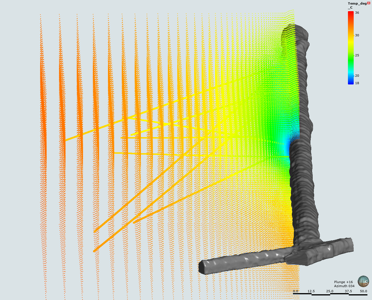
Three Dimensional Thermal Model of Newberry Volcano, Oregon
Department of Energy —
Final results of a 3D finite difference thermal model of Newberry Volcano, Oregon. Model data are formatted as a text file with four data columns (X, Y, Z, T). X and... -
Federal
EGS Collab Experiment 1: 3D Seismic Velocity Model and Updated Microseismic Catalog Using Transfer-Learning Aided Double-Difference Tomography
Department of Energy —
This package contains a 3D Seismic velocity model and an updated microseismic catalog associated with a proceedings paper (Chai et al., 2020) published in the 45th...
72 datasets found