

3,294 datasets found for "fires"
-
University
2012 Whitewater Baldy Post Fire, Bearwallow Mountain NE NE, RGB
Earth Data Analysis Center, University of New Mexico —
This dataset contains imagery for the Gila National Forest, Catron and Grant County, New Mexico. The imagery was flown to provide coverage after the 2012 Whitewater-... -
State
Oregon Fire Agency Demographics
State of Oregon —
This dataset represents basic demographic information about the structural firefighting agencies in Oregon. Included in this dataset are the square mileage within the... -
Federal
GEOS-Carb CASA-GFED Daily Fire and Fuel Emissions 0.5 degree x 0.5 degree V3 (GEOS_CASAGFED_D_FIRE) at GES DISC
National Aeronautics and Space Administration —
This product provides Daily average wildfire emissions (FIRE) andfuel wood burning emissions (FUEL) derived from the Carnegie-Ames-Stanford-Approach – Global Fire... -
State
American Bittern Predicted Habitat - CWHR B049 [ds2039]
State of California —
The datasets used in the creation of the predicted Habitat Suitability models includes the CWHR range maps of Californias regularly-occurring vertebrates which were... -
University
2011 Las Conchas Post Fire, a136106_se_sw, RGB
Earth Data Analysis Center, University of New Mexico —
Wilson and Company collected and processed multi-spectral (red, green, blue, near-infrared) digital aerial imagery of the Las Conchas Fire that burned in the Santa Fe... -
Built Environment Indicators
District of Columbia —
This data layer provides a comprehensive set of indicators related to the built environment and their impact on health outcomes across the District of Columbia. It... -
State
Kit Fox Predicted Habitat - CWHR M148 [ds2599]
State of California —
The datasets used in the creation of the predicted Habitat Suitability models includes the CWHR range maps of Californias regularly-occurring vertebrates which were... -
State
Wrentit Predicted Habitat - CWHR B391 [ds2280]
State of California —
The datasets used in the creation of the predicted Habitat Suitability models includes the CWHR range maps of Californias regularly-occurring vertebrates which were... -
State
Common Ensatina Predicted Habitat - CWHR A012 [ds1979]
State of California —
The datasets used in the creation of the predicted Habitat Suitability models includes the CWHR range maps of Californias regularly-occurring vertebrates which were... -
County
Fire Protection District and Municipal Fire Departments
Lake County, Illinois —
Download In State Plane Projection Here. These boundaries represent either a Fire Protection Taxing District or a municipal fire department and are based on legal... -
State
CalOES Administrative Regions and MARs
State of California —
The California Governor’s Office of Emergency Services’ (Cal OES) Regions and MARs feature layer is a graphical representation Administrative Regions and Law/Fire... -
University
2012 Whitewater Baldy Post Fire, Sign Camp Mountain SE SW, RGB
Earth Data Analysis Center, University of New Mexico —
This dataset contains imagery for the Gila National Forest, Catron and Grant County, New Mexico. The imagery was flown to provide coverage after the 2012 Whitewater-... -
State
Desert Shrew Predicted Habitat - CWHR M014 [ds2473]
State of California —
The datasets used in the creation of the predicted Habitat Suitability models includes the CWHR range maps of Californias regularly-occurring vertebrates which were... -
Federal
First ISCCP Regional Experiment (FIRE) Atlantic Stratocumulus Transition Experiment (ASTEX) ISCCP DX Cloud Product - Revised Algorithm Data
National Aeronautics and Space Administration —
The First ISCCP Regional Experiments (FIRE) have been designed to improve data products and cloud/radiation parameterizations used in general circulation models... -
Fire Stations
District of Columbia —
This dataset contains points for fire stations that were initially identified from DC Fire and EMS Department records and heads-up digitized from 2002... -
State
California Vegetation - WHR13 Types
State of California —
An accurate depiction of the spatial distribution of habitat types within California is required for a variety of legislatively-mandated government functions. The... -
City
1.03 Patient Transfer of Care - Stroke (summary)
City of Tempe —
The Tempe Fire Medical Rescue Department (TFMR) is an “all-hazards” department that responds to all types of calls for service. Transfer times for stroke patients... -
Federal
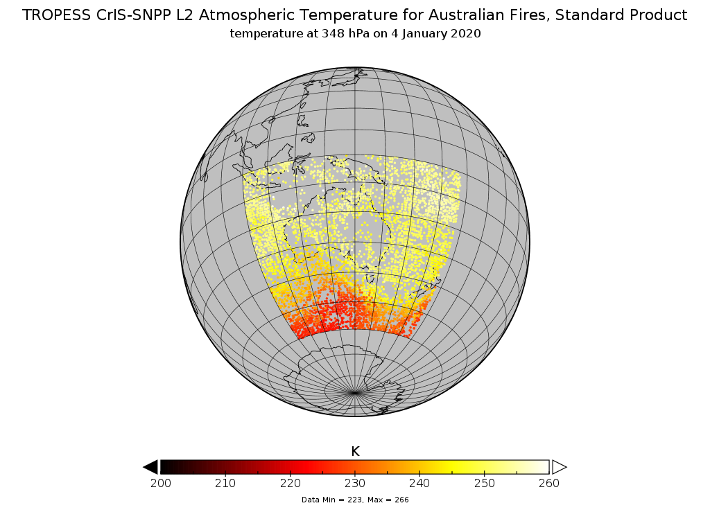
TROPESS CrIS-SNPP L2 Atmospheric Temperature for Australian Fires, Standard Product V1 (TRPSDL2TATMCRSAUS) at GES DISC
National Aeronautics and Space Administration —
The TROPESS CrIS-SNPP L2 Atmospheric Temperature for Australian Fires, Standard Product contains the vertical distribution of the retrieved atmospheric state of... -
City
Jefferson County KY Suburban Fire Stations
Louisville Metro Government —
Jefferson County, Kentucky has several Fire Protections Districts within the county that are separate from the Louisville Fire District. Each districts have... -
Federal
Fire Island, Cook Inlet, AK
National Oceanic and Atmospheric Administration, Department of Commerce —
Timeseries data from 'Fire Island, Cook Inlet, AK' (noaa_nos_co_ops_9455912)
3,294 datasets found for "fires"