

58 datasets found for "Wind Direction"
-
Federal
Unified Field Study 7 (UFS-7)
Department of Energy —
The Unified Field Studies (UFS), established by the Algae Testbed Public-Private Partnership (ATP3), produced data on the effect of environmental and process... -
Federal
Unified Field Study 2 (UFS-2)
Department of Energy —
The Unified Field Studies (UFS), established by the Algae Testbed Public-Private Partnership (ATP3), produced data on the effect of environmental and process... -
Federal
Unified Field Study 6 (UFS-6)
Department of Energy —
The Unified Field Studies (UFS), established by the Algae Testbed Public-Private Partnership (ATP3), produced data on the effect of environmental and process... -
Federal
Data From: Weather, Snow, and Streamflow data from four western juniper-dominated Experimental Catchments in south western Idaho, USA.
Department of Agriculture —
Weather, snow, stream, topographic, and vegetation data are presented from the South Mountain Experimental Catchments from water years 2007-2013 (10-1-2007 to... -
Federal
Unified Field Study 3 (UFS-3)
Department of Energy —
The Unified Field Studies (UFS), established by the Algae Testbed Public-Private Partnership (ATP3), produced data on the effect of environmental and process... -
Federal
Great Lakes Network 2006-2023 Inland Lakes Water Quality Monitoring Data as of 2024-04-19
Department of the Interior —
This data package was created 2024-10-17 15:12:07 by NPSTORET and includes selected project, location, and result data. Data contained in Great Lakes Network NPSTORET... -
Federal
United States Utility-Scale PV Supply Curves 2023
Department of Energy —
This data packet contains supply curves, hourly generation profiles, and a composite siting exclusion TIFF for utility-scale PV across the contiguous United States.... -
Federal
United States Land-based Wind Representative Profiles 2007-2013 & 2015-2023
Department of Energy —
This data packet contains hourly generation profiles (representative profiles) for land-based wind across the contiguous United States. Hourly representative... -
Federal
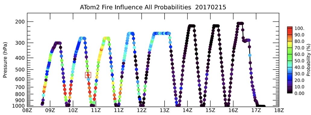
ATom: Back Trajectories and Influences of Air Parcels Along Flight Track, 2016-2018
National Aeronautics and Space Administration —
This dataset contains back trajectories, boundary layer influences, and convective influences of air parcels along NASA DC-8 aircraft's flight tracks during the four... -
Federal
Unified Field Study 5 (UFS-5)
Department of Energy —
The Unified Field Studies (UFS), established by the Algae Testbed Public-Private Partnership (ATP3), produced data on the effect of environmental and process... -
Federal
Southern Colorado Plateau Network Landbird Monitoring Dataset 2022-2024
Department of the Interior —
This dataset covers three years of parkwide landbird monitoring data collected from 2022-2024 at six national parks and monuments within the Southern Colorado Plateau... -
Federal
United States Land-based Wind Supply Curves 2023
Department of Energy —
This data packet contains supply curves, hourly generation profiles, and a composite siting exclusion TIFF for land-based wind across the contiguous United States.... -
Federal
RapidScat Level 2B Ocean Wind Vectors in 12.5km Slice Composites Version 1.2
National Aeronautics and Space Administration —
This dataset contains the RapidScat Level 2B 12.5km Version 1.2 science-quality ocean surface wind vectors, which are intended as a replacement and continuation of... -
Federal
BLM Idaho SW Montana Greater SageGrouse FINAL EIS Sagebrush Focal Areas 2015ROD Poly
Department of the Interior —
Sagebrush Focal Areas (SFAs) are a refinement of Greater Sage Grouse habitat delineating the most valuable habitat to the Greater Sage Grouse (Centrocercus... -
Federal
Data from: Flight tube and field cage studies of harmonic radar tagged Bactrocera dorsalis and Ceratitis capitata (Diptera, Tephritidae): effects of tag size, sex, rearing, and irradiation
Department of Agriculture —
Tracking individual insects with harmonic radar (HR) allows observations of insect movement behavior under wild and semi-wild conditions. However, attaching tags to... -
Federal
Remote Sensing Systems Radiometer Rain Collocations with JPL RapidScat L2B Swath Grid
National Aeronautics and Space Administration —
This dataset contains the multi-sourced microwave radiometer wind speed, rain and cloud liquid water data collocated to RapidScat Level 2B wind vector cell (WVC)... -
Federal
RapidScat Level 2B Climate Ocean Wind Vectors in 12.5km Footprints
National Aeronautics and Space Administration —
This dataset contains the RapidScat Level 2B 12.5km Version 1.0 Climate quality ocean surface wind vectors. The Level 2B wind vectors are binned on a 12.5 km Wind...
58 datasets found for "Wind Direction"