
-
Federal
KLOT NEXRAD IMPACTS V1
National Aeronautics and Space Administration —
The KLOT NEXRAD IMPACTS dataset consists of Next Generation Weather Radar (NEXRAD) Level II surveillance data that were collected at 31 NEXRAD sites from January 1 to... -
Federal
Mobile UIUC Soundings IMPACTS V1
National Aeronautics and Space Administration —
The Mobile UIUC Soundings IMPACTS dataset consists of atmospheric sounding data collected by rawinsondes launched during the Investigation of Microphysics and... -
Federal
U.S. Monthly Climate Normals (1981-2010)
National Oceanic and Atmospheric Administration, Department of Commerce —
The U.S. Monthly Climate Normals for 1981 to 2010 are 30-year averages of meteorological parameters for thousands of U.S. stations located across the 50 states, as... -
Federal
ER-2 X-Band Doppler Radar (EXRAD) IMPACTS
National Aeronautics and Space Administration —
The ER-2 X-band Radar (EXRAD) IMPACTS dataset consists of radar reflectivity and Doppler velocity estimates collected by the EXRAD onboard the NASA ER-2 high-altitude... -
Federal
ER-2 Navigation Data IMPACTS V1
National Aeronautics and Space Administration —
The NASA ER-2 Navigation Data IMPACTS dataset contains information recorded by the on-board navigation and data collection systems of the NASA ER-2 high-altitude... -
Federal
Rapid X-band Polarimetric Radar (RaXPol) IMPACTS
National Aeronautics and Space Administration —
The Rapid X-band Polarimetric Radar (RaXPol) IMPACTS dataset consists of data measured from the RaXPol instrument during the Investigation of Microphysics and... -
Federal
Mission Reports IMPACTS V1
National Aeronautics and Space Administration —
The Mission Reports IMPACTS dataset consists of flight plans, plans of the day, science plans, and science summaries logged by scientists during the Investigation of... -
Federal
GSFLOW model simulations used to evaluate the impact of irrigated agriculture on surface water - groundwater interaction
Department of the Interior —
Watershed-scale coupled surface water (SW) – groundwater (GW) flow modeling was used to examine changes in streamflow and SW – GW interaction resulting from... -
Federal
Global Historical Climatology Network - Daily (GHCN-Daily), Version 2 (Version Superseded)
National Oceanic and Atmospheric Administration, Department of Commerce —
Please note, this dataset has been superseded by a newer version (see below). Users should not use this version except in rare cases (e.g., when reproducing... -
Federal
GPM Ground Validation Daily Precipitation OLYMPEX V1
National Aeronautics and Space Administration —
The GPM Ground Validation Daily Precipitation Olympic Mountain Experiment (OLYMPEX) dataset consists of a single netCDF-4 data file containing estimates of daily... -
Federal
Alaska Railroad Tunnel near Spencer Glacier, AK
National Oceanic and Atmospheric Administration, Department of Commerce —
Timeseries data from 'Alaska Railroad Tunnel near Spencer Glacier, AK' (alaska-railroad-tunnel-near-spen) -
Federal
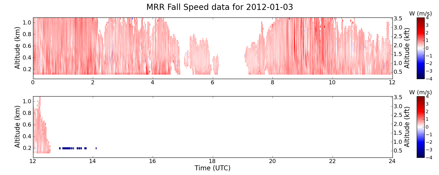
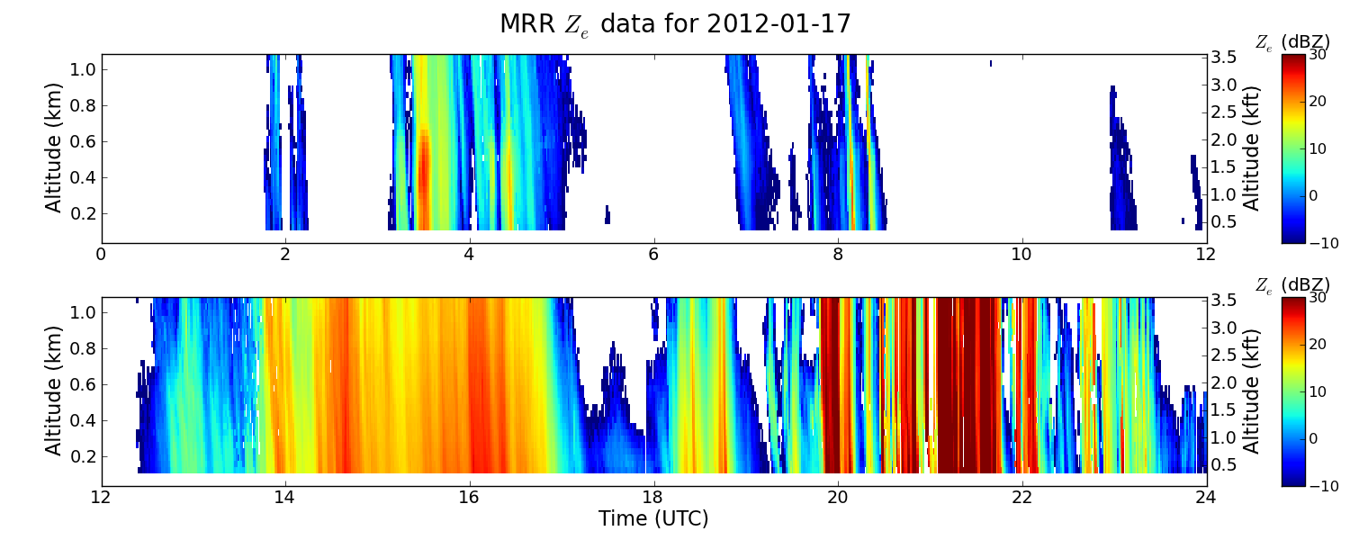
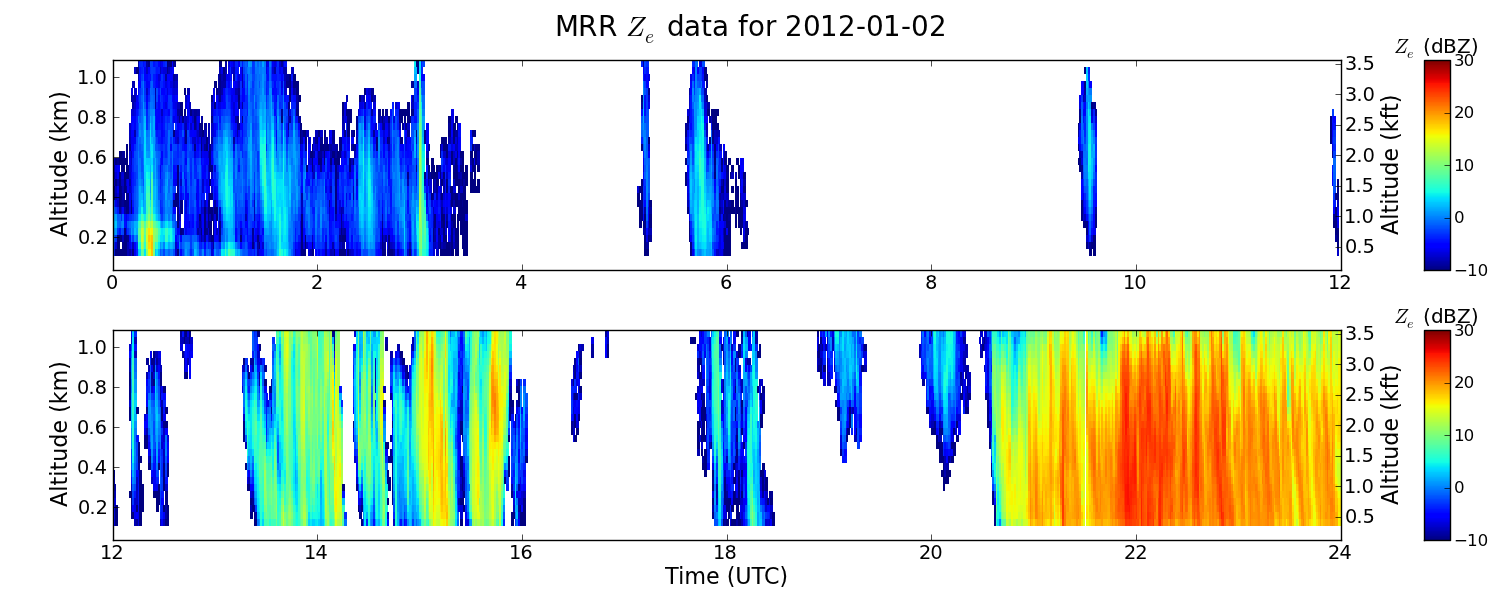
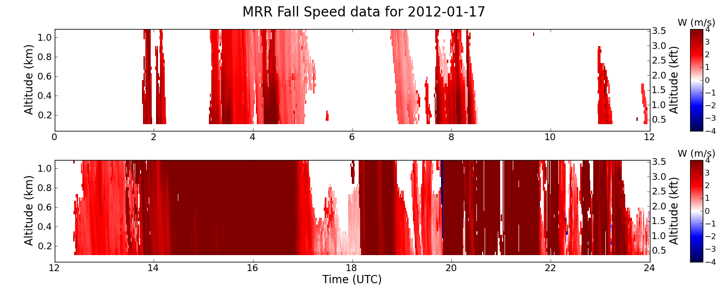
GPM GROUND VALIDATION ENVIRONMENT CANADA (EC) MICRO RAIN RADAR (MRR) GCPEX V2
National Aeronautics and Space Administration —
The GPM Ground Validation Environment Canada (EC) Micro Rain Radar (MRR) GCPEx V2 dataset was collected from the Micro Rain Radar (MRR) during the GPM Cold-season... -
Federal
GPM GROUND VALIDATION DC-8 CAMERA NADIR GCPEX
National Aeronautics and Space Administration —
The GPM Ground Validation DC-8 Camera Nadir GCPEx dataset contains geo-located, visible-wavelength imagery of the ground obtained from the nadir camera aboard the... -
Federal
GPM GROUND VALIDATION AEROSOL AND WATER VAPOR LIDAR QUICKLOOKS GCPEX V1
National Aeronautics and Space Administration —
The GPM Ground Validation Aerosol and Water Vapor Lidar Quicklooks GCPEx dataset contains imagery generated from the GPM Cold-season Precipitation Experiment (GCPEx)... -
Federal
SBU Pluvio Precipitation Gauge IMPACTS
National Aeronautics and Space Administration —
The SBU Pluvio Precipitation Gauge IMPACTS dataset consists of precipitation intensity and precipitation accumulation collected using the OTT Pluvio2 weighing rain... -
Federal
SBU X-band Phased Array Radar (SKYLER) IMPACTS
National Aeronautics and Space Administration —
The SBU X-band Phased Array Radar (SKYLER) IMPACTS dataset consists of polarimetric radar data collected by the Stony Brook University (SBU) X-band Phased Array Radar... -
Federal
Rock glaciers, Central Andes, Argentina, Version 1
National Aeronautics and Space Administration —
Primary rock glaciers are fed by avalanche chutes. At the El Salto rock glacier, surveys have been undertaken in order to determine the creep rate. Between 1981 and... -
Federal
NLDAS VIC Land Surface Model L4 Monthly 0.125 x 0.125 degree V2.0 (NLDAS_VIC0125_M) at GES DISC
National Aeronautics and Space Administration —
This data set contains forty-three fields simulated from the VIC land-surface model (LSM) for Phase 2 of the North American Land Data Assimilation System (NLDAS-2).... -
Federal
KIND NEXRAD IMPACTS V1
National Aeronautics and Space Administration —
The KIND NEXRAD IMPACTS dataset consists of Next Generation Weather Radar (NEXRAD) Level II surveillance data that were collected at 31 NEXRAD sites from January 1 to... -
Federal
Daily SnowModel Outputs Covering the ABoVE Core Domain, 3-km Resolution, 1980-2020
National Aeronautics and Space Administration —
This dataset provides daily SnowModel simulation outputs on a 3-km grid for the period 1 September 1980 through 31 August 2020, covering the Core ABoVE Domain. The...

Official websites use .gov
A
.gov website belongs to an official government
organization in the United States.
Secure .gov websites use HTTPS
A
lock (
) or https:// means you’ve safely connected to
the .gov website. Share sensitive information only on official,
secure websites.