
-
Federal
2023 NOAA Topobathy Lidar: Northern Lake Michigan & Northern Lake Huron, MI
National Oceanic and Atmospheric Administration, Department of Commerce —
Product: This topobathy lidar dataset consists of processed classified LAS 1.4 files used to create intensity images and topobathymetric DEMs as necessary. Three... -
Federal
Bathymetry of Lake Huron
National Oceanic and Atmospheric Administration, Department of Commerce —
Bathymetry of Lake Huron has been compiled as a component of a NOAA project to rescue Great Lakes lake floor geological and geophysical data and make it more... -
Federal
1999 Fall Gulf Coast NOAA/USGS/NASA Airborne LiDAR Assessment of Coastal Erosion (ALACE) Project for the US Coastline
National Oceanic and Atmospheric Administration, Department of Commerce —
This data set includes data collected on October 16, 1999 and coastline in the State of Texas from Galveston to the Louisiana border. Laser beach mapping uses a... -
ACS 1-Year Economic Characteristics DC
District of Columbia —
Employment, Commuting, Occupation, Income, Health Insurance, Poverty, and more. This service is updated annually with American Community Survey (ACS) 1-year data.... -
Federal
VIIRS/NPP Active Fires 6-Min L2 Swath 375m V002
National Aeronautics and Space Administration —
The Visible Infrared Imaging Radiometer Suite (VIIRS) Active Fires (VNP14IMG) Version 2 product is produced in 6-minute temporal satellite increments (swaths) at 375... -
State
California Overlapping Cities and Counties and Identifiers with Coastal Buffers
State of California —
WARNING: This is a pre-release dataset and its fields names and data structures are subject to change. It should be considered pre-release until the end of 2024.... -
Federal
VIIRS/NPP BRDF/Albedo BSA at Solar Noon Band VIS Daily L3 Global 30ArcSec CMG V002
National Aeronautics and Space Administration —
The NASA/NOAA Suomi National Polar-orbiting Partnership (Suomi NPP) Visible Infrared Imaging Radiometer Suite (VIIRS) Bidirectional Reflectance Distribution Function... -
Federal
VIIRS/NPP BRDF/Albedo BSA at Solar Noon NIR Daily L3 Global 30ArcSec CMG V002
National Aeronautics and Space Administration —
The NASA/NOAA Suomi National Polar-orbiting Partnership (Suomi NPP) Visible Infrared Imaging Radiometer Suite (VIIRS) Bidirectional Reflectance Distribution Function... -
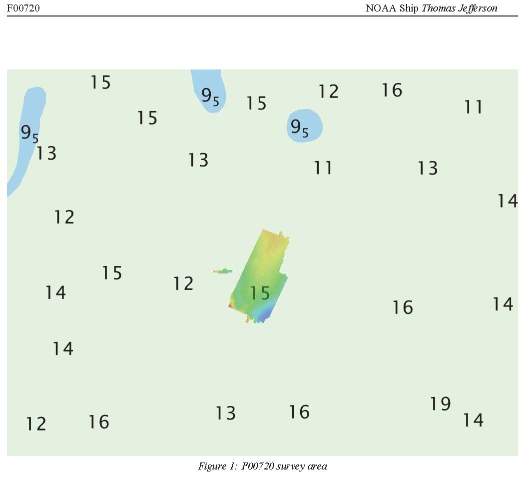
Federal
F00720: NOS Hydrographic Survey , 2018-05-01
National Oceanic and Atmospheric Administration, Department of Commerce —
The National Oceanic and Atmospheric Administration (NOAA) has the statutory mandate to collect hydrographic data in support of nautical chart compilation for safe... -
Federal
Last of the Wild Project, Version 2, 2005 (LWP-2): Global Human Influence Index (HII) Dataset (IGHP)
National Aeronautics and Space Administration —
The Global Human Influence Index Dataset of the Last of the Wild Project, Version 2, 2005 (LWP-2) is a global dataset of 1-kilometer grid cells, created from nine... -
Federal
BLM OR Ocean Polygon Hub
Department of the Interior —
OCEAN_POLY: This data set portrays the portion of the Pacific Ocean and its islands from near Vancouver Island to south of San Francisco Bay and far enough to the... -
Federal
VIIRS/JPSS1 Surface Reflectance 8-Day L3 Global 500m SIN Grid V002
National Aeronautics and Space Administration —
The 8-day Visible Infrared Imaging Radiometer Suite (VIIRS) Surface Reflectance (VJ109H1) Version 2 composite product provides an estimate of land surface reflectance... -
ACS 5-Year Demographic Characteristics DC
District of Columbia —
Age, Sex, Race, Ethnicity, Total Housing Units, and Voting Age Population. This service is updated annually with American Community Survey (ACS) 5-year data. Contact:... -
Federal
2017 NOAA/MCP Topobathy Lidar: Blue Hill Bay, ME - SHOALS Sensor
National Oceanic and Atmospheric Administration, Department of Commerce —
Fugro was contracted in July 2017 by the State of Maine Department of Marine Resources (SMDMR), Maine Coastal Program (MCP), and the NOAA Office for Coastal... -
State
Topo Survey Sheet 1880s Shore
State of Connecticut —
Connecticut Historic Shoreline Wetlands: 1880s NOS T-Sheet Shoreline Features is a 1:10,000-scale, line feature-based layer that includes information depicting... -
State
Phragimites 1994
State of Connecticut —
Phragmites 1994 is a 1:12,000-scale, polygon feature-based layer that includes areas where phragmites existed in 1994 along the lower Connecticut River corridor from... -
ACS 1-Year Demographic Characteristics DC
District of Columbia —
Age, Sex, Race, Ethnicity, Total Housing Units, and Voting Age Population. This service is updated annually with American Community Survey (ACS) 1-year data. Contact:... -
State
CT Hurricane Surge Inundation
State of Connecticut —
See full Data Guide here. Worst case Hurricane Surge Inundation areas for category 1 through 4 hurricanes striking the coast of Connecticut. Hurricane surge values... -
State
Eelgrass Beds 2012 Polygon
State of Connecticut —
Eelgrass Beds 2012 Polygon : This data layer was created by the Conservation Management Institute, Virginia Tech University for the USFWS National Wetlands Inventory,...

Official websites use .gov
A
.gov website belongs to an official government
organization in the United States.
Secure .gov websites use HTTPS
A
lock (
) or https:// means you’ve safely connected to
the .gov website. Share sensitive information only on official,
secure websites.