
-
Federal
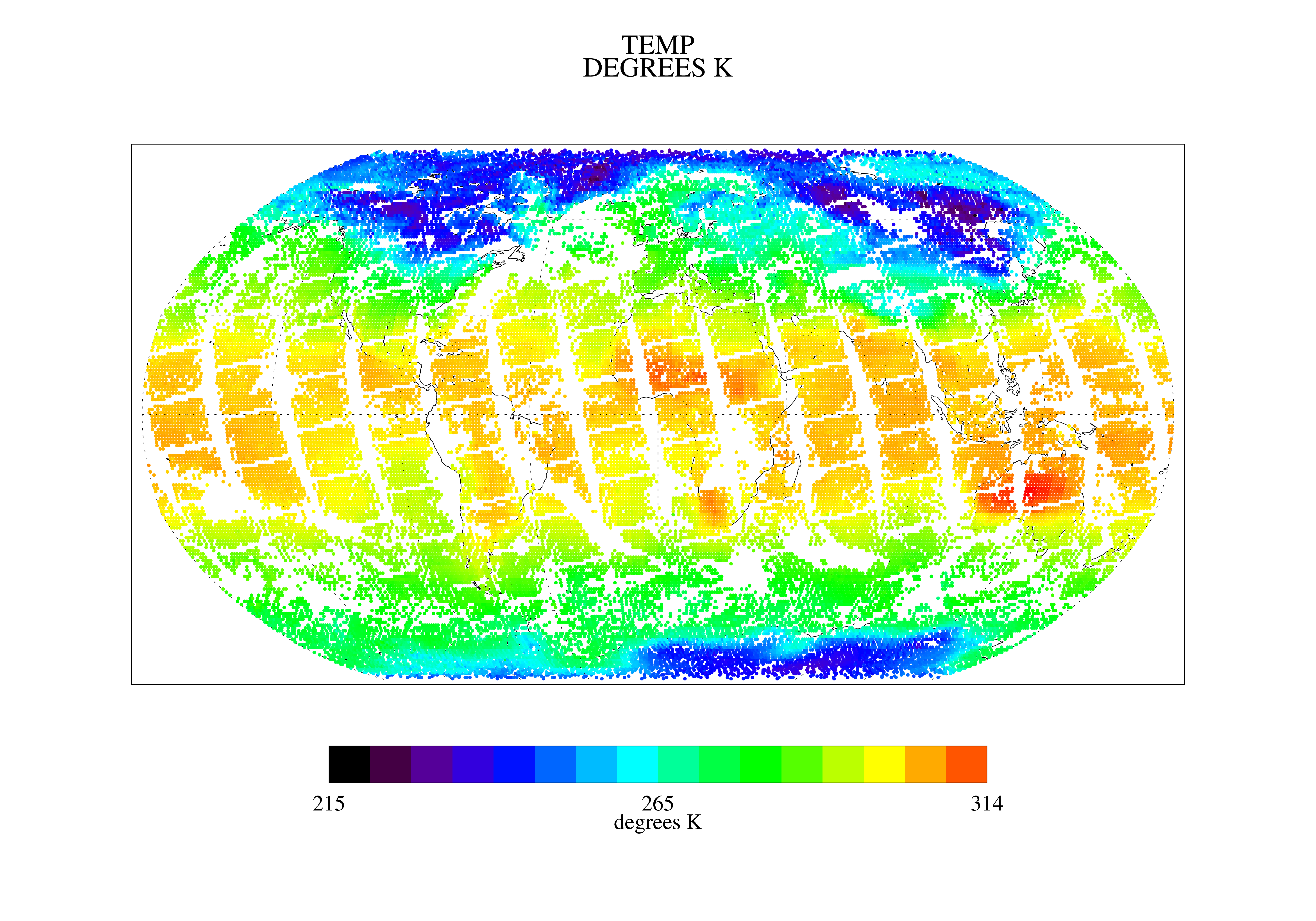
TOVS GLA DAILY GRIDS from NOAA-12 V01 (TOVSADND) at GES DISC
National Aeronautics and Space Administration —
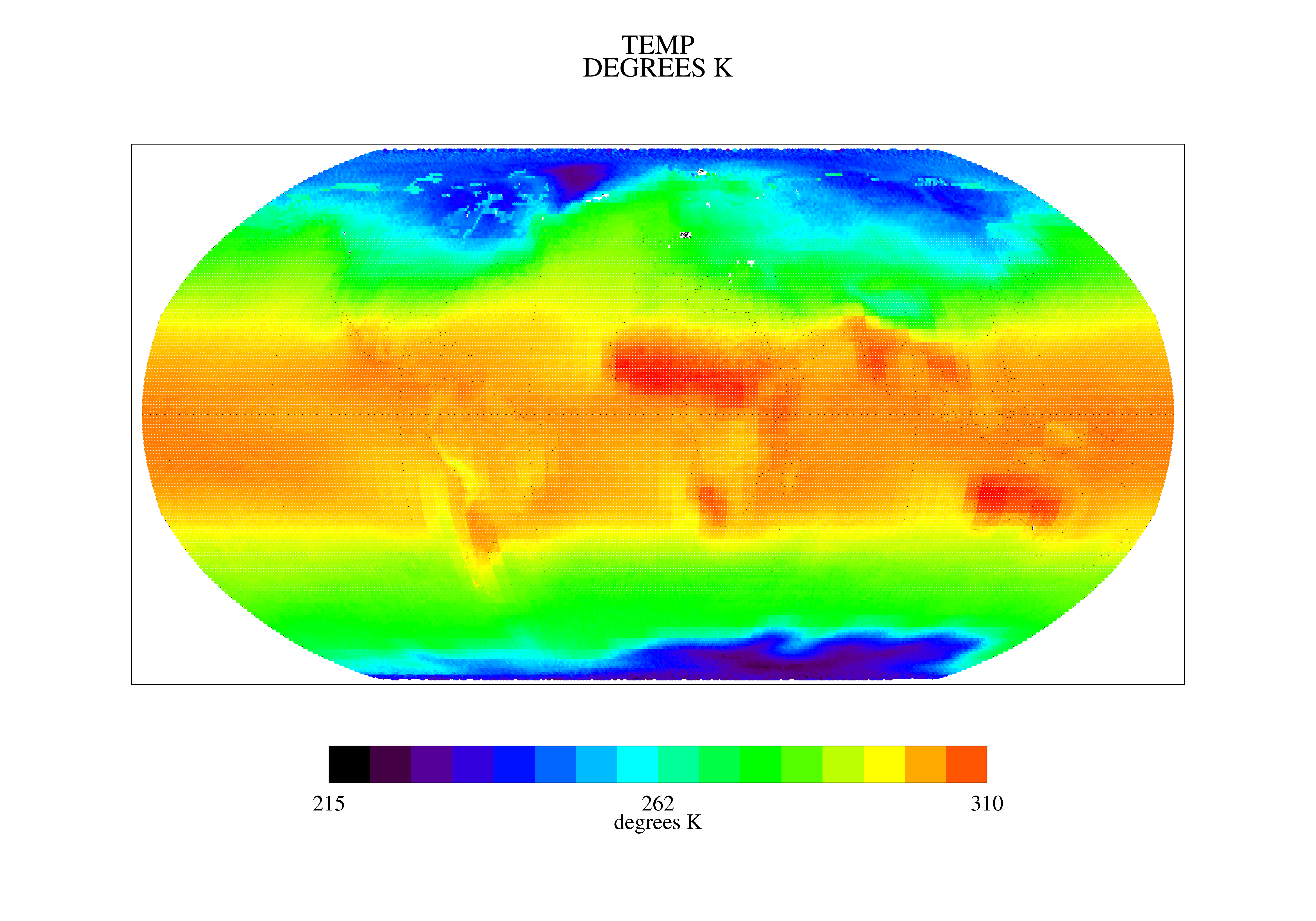
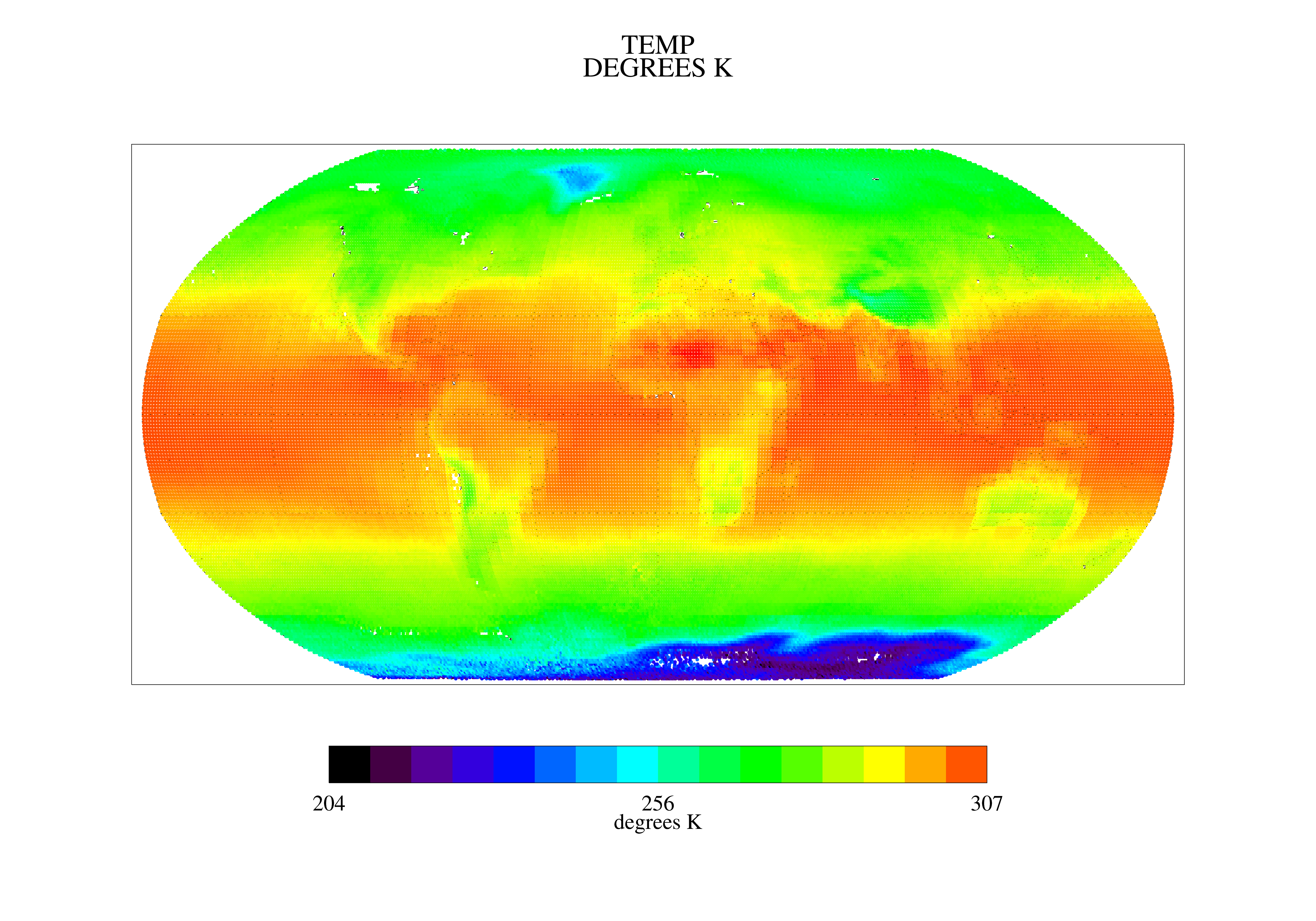
This dataset (TOVSADND) contains the TIROS Operational Vertical Sounder (TOVS) level 3 geophysical parameters derived using data from NOAA-12 and the physical... -
Federal
TROPICS03 L2B Atmospheric Vertical Temperature and Moisture Profiles (AVTP, AVMP) V1.0
National Aeronautics and Space Administration —
The "Time-Resolved Observations of Precipitation structure and storm Intensity with a Constellation of Smallsats" (TROPICS) mission has a goal of providing nearly... -
Federal
TROPICS06 L2B Tropical Cyclone Intensity Estimate (TCIE) Algorithm V1.0
National Aeronautics and Space Administration —
The "Time-Resolved Observations of Precipitation structure and storm Intensity with a Constellation of Smallsats" (TROPICS) mission has a goal of providing nearly... -
Federal
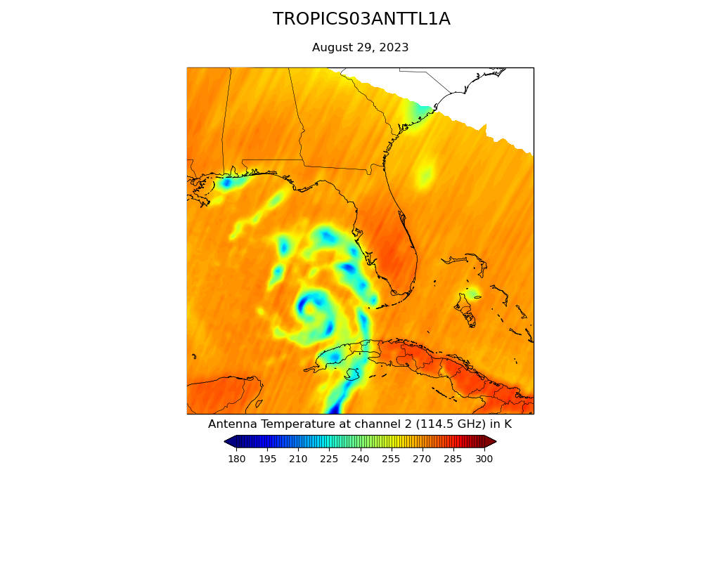
TROPICS05 L1A Orbital Geolocated Native-Resolution Antenna Temperatures V0.2
National Aeronautics and Space Administration —
The "Time-Resolved Observations of Precipitation structure and storm Intensity with a Constellation of Smallsats" (TROPICS) mission has a goal of providing nearly... -
Federal
GPM DPR Ka-band Received Power L1B 1.5 hours 5 km V07 (GPM_PRL1KA) at GES DISC
National Aeronautics and Space Administration —
Version 07 is the current version of the data set. Older versions are no longer available and have been superseded by Version 07. This product contains the calibrated... -
Federal
TROPICS03 Pathfinder L2B Instantaneous Surface Rain Rate (ISRR) V1.0
National Aeronautics and Space Administration —
The "Time-Resolved Observations of Precipitation structure and storm Intensity with a Constellation of Smallsats" (TROPICS) mission has a goal of providing nearly... -
Federal
GPM DPR Ku Environment L2A 1.5 hours 5 km V07 (GPM_2AKuENV) at GES DISC
National Aeronautics and Space Administration —
Version 07 is the current version of the data set. Older versions will no longer be available and have been superseded by Version 07. . This is environmental data... -
Federal
TRMM Ground Validation Calibrated QC Radar Reflectivity Full Volume Scan L1C 1 hour V7 (TRMM_1C51UW) at GES DISC
National Aeronautics and Space Administration —
This dataset is part of the University of Washington TRMM Ground Validation products. Files are in "Universal Format", described in BAMS, Vol 61, No 11, November... -
Federal
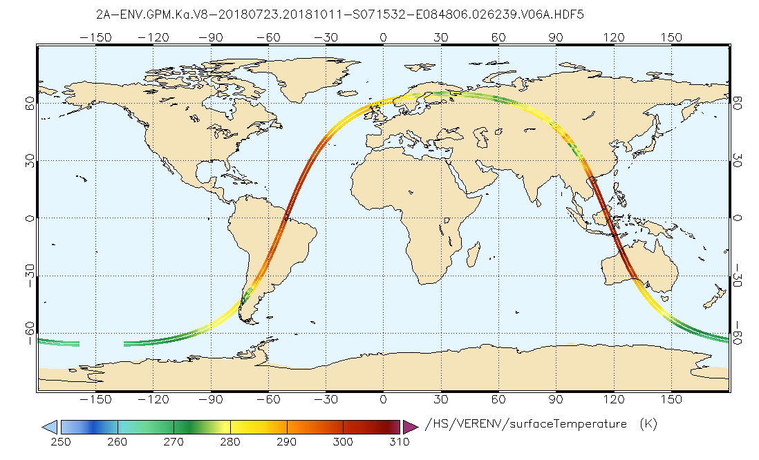
GPM DPR Ka Environment L2A 1.5 hours 5 km V07 (GPM_2AKaENV) at GES DISC
National Aeronautics and Space Administration —
Version 07 is the current version of the data set. Older versions will no longer be available and have been superseded by Version 07. . This is environmental data... -
Federal
TROPICS03 L1A Orbital Geolocated Native-Resolution Antenna Temperatures V1.0
National Aeronautics and Space Administration —
The "Time-Resolved Observations of Precipitation structure and storm Intensity with a Constellation of Smallsats" (TROPICS) mission has a goal of providing nearly... -
Federal
TROPICS06 L2B Neural-network Atmospheric Vertical Temperature & Moisture Profiles V1.0
National Aeronautics and Space Administration —
The "Time-Resolved Observations of Precipitation structure and storm Intensity with a Constellation of Smallsats" (TROPICS) mission has a goal of providing nearly... -
Federal
TRMM Ground Validation Rain Gauge Rain Rate L2 1 month V7 (TRMM_2A56) at GES DISC
National Aeronautics and Space Administration —
The program rgmin generates 1-minute hourly rain rates from discrete tipping bucket rain gauge data by applying an interpolation algorithm. The interpolating routine... -
Federal
TROPICS05 Pathfinder L2B Instantaneous Surface Rain Rate (ISRR) V0.2
National Aeronautics and Space Administration —
The "Time-Resolved Observations of Precipitation structure and storm Intensity with a Constellation of Smallsats" (TROPICS) mission has a goal of providing nearly... -
Federal
TROPICS07 L2B Neural-network Atmospheric Vertical Temperature & Moisture Profiles V0.2
National Aeronautics and Space Administration —
The "Time-Resolved Observations of Precipitation structure and storm Intensity with a Constellation of Smallsats" (TROPICS) mission has a goal of providing nearly... -
Federal
TOVS GLA DAILY GRIDS from NOAA-9 V01 (TOVSADNF) at GES DISC
National Aeronautics and Space Administration —
This dataset (TOVSADNF) contains the TIROS Operational Vertical Sounder (TOVS) level 3 geophysical parameters derived using data from NOAA-9 and the physical... -
Federal
TOVS GLA MONTHLY GRIDS from NOAA-12 V01 (TOVSAMND) at GES DISC
National Aeronautics and Space Administration —
This dataset (TOVSAMND) contains the TIROS Operational Vertical Sounder (TOVS) level 3 geophysical parameters derived using data from NOAA-12 and the physical... -
Federal
TROPICS03 L2B Tropical Cyclone Intensity Estimate (TCIE) Algorithm V1.0
National Aeronautics and Space Administration —
The "Time-Resolved Observations of Precipitation structure and storm Intensity with a Constellation of Smallsats" (TROPICS) mission has a goal of providing nearly... -
Federal
TOVS GLA 5 DAY GRIDS from NOAA-10 V01 (TOVSA5NG) at GES DISC
National Aeronautics and Space Administration —
This dataset (TOVSA5NG) contains the TIROS Operational Vertical Sounder (TOVS) level 3 geophysical parameters derived using data from NOAA-10 and the physical... -
Federal
TOVS GLA MONTHLY GRIDS from TIROSN V01 (TOVSAMTN) at GES DISC
National Aeronautics and Space Administration —
This dataset (TOVSAMTN) contains the TIROS Operational Vertical Sounder (TOVS) level 3 geophysical parameters derived using data from TIROSN and the physical... -
Federal
TROPICS03 L2B Neural-network Atmospheric Vertical Temperature & Moisture Profiles V1.0
National Aeronautics and Space Administration —
The "Time-Resolved Observations of Precipitation structure and storm Intensity with a Constellation of Smallsats" (TROPICS) mission has a goal of providing nearly...

Official websites use .gov
A
.gov website belongs to an official government
organization in the United States.
Secure .gov websites use HTTPS
A
lock (
) or https:// means you’ve safely connected to
the .gov website. Share sensitive information only on official,
secure websites.