
-
Federal
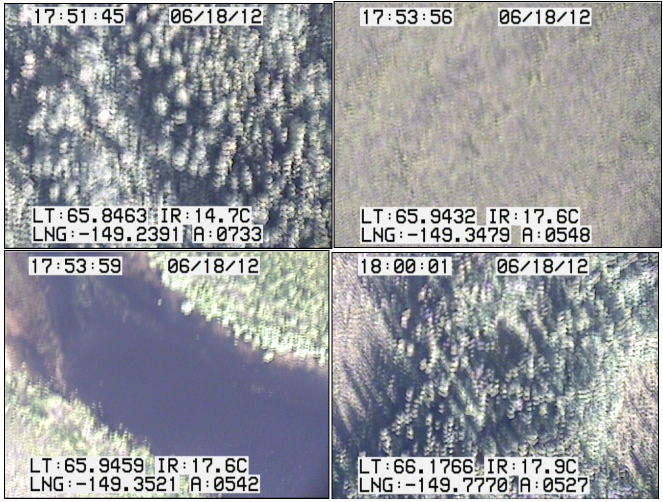
CARVE: In-flight Videos from the CARVE Aircraft, Alaska, 2012-2015
National Aeronautics and Space Administration —
This dataset contains videos captured by a camera mounted on the CARVE aircraft during airborne campaigns over the Alaskan and Canadian Arctic for the Carbon in... -
Federal
High-resolution orthomosaic of Cottage Grove Lake, Oregon, December 2023
Department of the Interior —
In cooperation with the U.S. Army Corps of Engineers (USACE), the U.S. Geological Survey (USGS) surveyed ground control points and coordinated aerial photograph... -
Federal
GPM MHS on NOAA19 (GPROF) Radiometer Precipitation Profiling L3 1 day 0.25 degree x 0.25 degree V07 (GPM_3GPROFNOAA19MHS_DAY) at GES DISC
National Aeronautics and Space Administration —
Version 07 is the current version of the data set. Older versions will no longer be available and have been superseded by Version 07. 3GPROF products provide global... -
Federal
Fugro Cruise C16185 Line 1238, 300 kHz VMADCP
National Oceanic and Atmospheric Administration, Department of Commerce —
Program of vessel mount ADCP measurements comprising a combination of 300kHz and 75kHz ADCP data collected in the vicinity of the Loop Current and drilling blocks... -
Federal
Fugro Cruise C16185 Line 0629, 75 kHz VMADCP
National Oceanic and Atmospheric Administration, Department of Commerce —
Program of vessel mount Acoustic Doppler Current Profiler (ADCP) measurements comprising a combination of 300kHz and 75kHz ADCP data collected in the vicinity of the... -
Federal
North Spit, Humboldt Bay, CA (HBYC1)
National Oceanic and Atmospheric Administration, Department of Commerce —
Timeseries data from 'North Spit, Humboldt Bay, CA (HBYC1)' (noaa_nos_co_ops_9418767) -
Federal
"Deepwater CTD - 87g1101.ctd.nc - 27.66N, -94.0W - 1987-11-18"
National Oceanic and Atmospheric Administration, Department of Commerce —
The Minerals Management Service (MMS) of the U. S. Department of the Interior funded the Deepwater Physical Oceanography Reanalysis and Synthesis of Historical Data... -
Federal
CBP Water Quality Monitoring Subset (1984-2018), CB5 1W
National Oceanic and Atmospheric Administration, Department of Commerce —
This product was developed as part of the project supported by the grant from and the National Oceanic and Atmospheric Administrationâs Ocean Acidification Program... -
Federal
Fugro Cruise C16185 Line 0921, 75 kHz VMADCP
National Oceanic and Atmospheric Administration, Department of Commerce —
Program of vessel mount ADCP measurements comprising a combination of 300kHz and 75kHz ADCP data collected in the vicinity of the Loop Current and drilling blocks... -
Federal
sp011-20191212T1735
National Oceanic and Atmospheric Administration, Department of Commerce —
Spray glider profile data from Scripps Institution of Oceanography Instrument Development Group. (This deployment supported by NOAA.) -
Federal
Fugro Cruise C16266 Line 0162, 75 kHz VMADCP
National Oceanic and Atmospheric Administration, Department of Commerce —
Program of vessel mount Acoustic Doppler Current Profiler (ADCP) measurements comprising a combination of 300kHz and 75kHz ADCP data collected in the vicinity of the... -
Federal
FAST Eddy Sys 1 Transect 15, 150kHz kHz VMADCP
National Oceanic and Atmospheric Administration, Department of Commerce —
Program of vessel mount ADCP measurements comprising a combination of 75kHz and 150kHz ADCP data collected in the vicinity of the Loop Current and drilling blocks... -
Federal
FAST Eddy Sys 2 Transect 290, 150kHz kHz VMADCP
National Oceanic and Atmospheric Administration, Department of Commerce —
Program of vessel mount ADCP measurements comprising a combination of 75kHz and 150kHz ADCP data collected in the vicinity of the Loop Current and drilling blocks... -
Federal
Fugro Cruise C16215 Line 1775, 300 kHz VMADCP
National Oceanic and Atmospheric Administration, Department of Commerce —
Program of vessel mount Acoustic Doppler Current Profiler (ADCP) measurements comprising a combination of 300kHz and 75kHz ADCP data collected in the vicinity of the... -
Federal
Footprint of high-resolution orthoimagery and digital surface model of Dorena Lake, Oregon, December 2023
Department of the Interior —
In cooperation with the U.S. Army Corps of Engineers (USACE), the U.S. Geological Survey (USGS) surveyed ground control points and coordinated aerial photograph... -
Federal
High-resolution orthomosaic of Hills Creek Lake, Oregon, December 28, 2023
Department of the Interior —
In cooperation with the U.S. Army Corps of Engineers (USACE), the U.S. Geological Survey (USGS) surveyed ground control points and coordinated aerial photograph... -
Federal
Ground control point locations for Cottage Grove Lake, Oregon, November 2024
Department of the Interior —
In cooperation with the U.S. Army Corps of Engineers (USACE), the U.S. Geological Survey (USGS) surveyed ground control points and coordinated aerial photograph... -
Federal
Original aerial photographs of Cottage Grove Lake, Oregon, December 2023
Department of the Interior —
In cooperation with the U.S. Army Corps of Engineers (USACE), the U.S. Geological Survey (USGS) surveyed ground control points and coordinated aerial photograph... -
Federal
High-resolution orthomosaic of Cougar Reservoir, Oregon, December 2023
Department of the Interior —
In cooperation with the U.S. Army Corps of Engineers (USACE), the U.S. Geological Survey (USGS) surveyed ground control points and coordinated aerial photograph... -
Federal
Point cloud of Hills Creek Lake, Oregon, December 20, 2023
Department of the Interior —
In cooperation with the U.S. Army Corps of Engineers (USACE), the U.S. Geological Survey (USGS) surveyed ground control points and coordinated aerial photograph...

Official websites use .gov
A
.gov website belongs to an official government
organization in the United States.
Secure .gov websites use HTTPS
A
lock (
) or https:// means you’ve safely connected to
the .gov website. Share sensitive information only on official,
secure websites.