

4,211 datasets found for "k98여우알바오피현금알바^✅텔레그램문의superman119※"
-
Federal
Development Experience Clearinghouse (DEC) Document Usage Statistics - August 2021
US Agency for International Development —
This dataset reports downloads of metadata records and documents from the Development Experience Clearinghouse (DEC). -
Moving Violations Issued in December 2015
District of Columbia —
Moving citation locations in the District of Columbia. The Vision Zero data contained in this layer pertain to moving violations issued by the District of Columbia's... -
State
Index to CT State Board of Education & State Department of Education, Connecticut School Documents 1884–1972
State of Connecticut —
Conn Doc Ed83s To access dataset select the "Data" tab. To view original files please contact the Connecticut State Library at 860-757-6500. The Connecticut State... -
City
Historic Zoning Districts - 2009
City of San Francisco —
Zoning Districts from 2009. Part of the San Francisco Planning Code. Data is a zipped GIS shapefile. -
City
Historic Zoning Districts - 2005
City of San Francisco —
Zoning Districts from 2005. Part of the San Francisco Planning Code. Data is a zipped GIS shapefile. -
Moving Violations Issued in January 2009
District of Columbia —
Moving citation locations in the District of Columbia. The data contained in this layer pertain to moving violations issued by the District of Columbia's Metropolitan... -
Parking Violations Issued in November 2019
District of Columbia —
Parking citation locations in the District of Columbia. The Vision Zero data contained in this layer pertain to parking violations issued by the District of Columbia's... -
Parking Violations Issued in November 2018
District of Columbia —
Parking citation locations in the District of Columbia. The data contained in this layer pertain to parking violations issued by the District of Columbia's... -
Moving Violations Issued in December 2020
District of Columbia —
Moving citation locations in the District of Columbia. The Vision Zero data contained in this layer pertain to moving violations issued by the District of Columbia's... -
Parking Violations in January 2012
District of Columbia —
Parking citation locations in the District of Columbia. The Vision Zero data contained in this layer pertain to parking violations issued by the District of Columbia's... -
State
Birds - Spears and Didion Ranches [ds315]
State of California —
These data are summary statistics of abundances of birds counted within 100-m radius circles with 10-minute point counts at 15 sample points within Spears and Didion... -
State
Large-Blotched Ensatina Range - CWHR A012B [ds2847]
State of California —
Vector datasets of CWHR range maps are one component of California Wildlife Habitat Relationships (CWHR), a comprehensive information system and predictive model for... -
State
Bushy-Tailed Woodrat Range - CWHR M128 [ds1915]
State of California —
Vector datasets of CWHR range maps are one component of California Wildlife Habitat Relationships (CWHR), a comprehensive information system and predictive model for... -
State
Newly Eligible Individuals by Insurance Affordability Program (IAP)
State of California —
This dataset includes the total number of newly eligible individuals by Insurance Affordability Program (IAP), by reporting period. IAPs include Medi-Cal, Covered... -
State
Giant Gartersnake Range - CWHR R079 [ds599]
State of California —
Vector datasets of CWHR range maps are one component of California Wildlife Habitat Relationships (CWHR), a comprehensive information system and predictive model for... -
State
i07 Habitat Delta 1977
State of California —
1977 Delta Habitat Types were made digital by heads up digitizing registered scanned pages from 1979 Delta Environmental Atlas, produced by USACE. "The Habitat Types... -
Federal
RapidScat Level 2B Climate Ocean Wind Vectors in 12.5km Footprints
National Aeronautics and Space Administration —
This dataset contains the RapidScat Level 2B 12.5km Version 1.0 Climate quality ocean surface wind vectors. The Level 2B wind vectors are binned on a 12.5 km Wind... -
Federal
RapidScat Level 2B Climate Ocean Wind Vectors in 12.5km Footprints Version 2.0
National Aeronautics and Space Administration —
This dataset contains the RapidScat Level 2B 12.5km Version 2.0 Climate quality ocean surface wind vectors. The Level 2B wind vectors are binned on a 12.5 km Wind... -
Federal
RapidScat Level 2B Ocean Wind Vectors in 12.5km Slice Composites Version 1.2
National Aeronautics and Space Administration —
This dataset contains the RapidScat Level 2B 12.5km Version 1.2 science-quality ocean surface wind vectors, which are intended as a replacement and continuation of... -
Federal
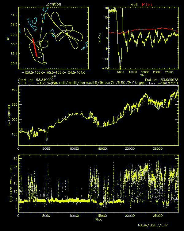
BOREAS Scanning Lidar Imager of Canopies by Echo Recovery (SLICER): Level-3 Data
National Aeronautics and Space Administration —
Scanning Lidar Imager of Canopies by Echo Recovery (SLICER) data were acquired in support of BOReal Ecosystem-Atmosphere Study (BOREAS) at all of the Tower Flux (TF)...
4,211 datasets found for "k98여우알바오피현금알바^✅텔레그램문의superman119※"