
-
Federal
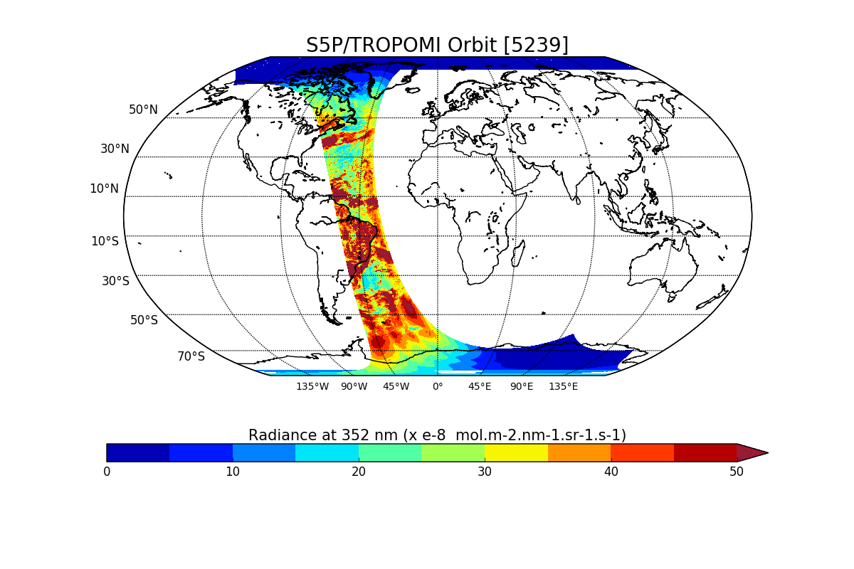
Sentinel-5P TROPOMI Radiance product band 3 (UVIS detector) L1B V1 (S5P_L1B_RA_BD3) at GES DISC
National Aeronautics and Space Administration —
Starting from August 6th in 2019, Sentinel-5P TROPOMI along-track high spatial resolution (~5.5km at nadir) has been implemented. For data after August 6th of 2019,... -
Federal
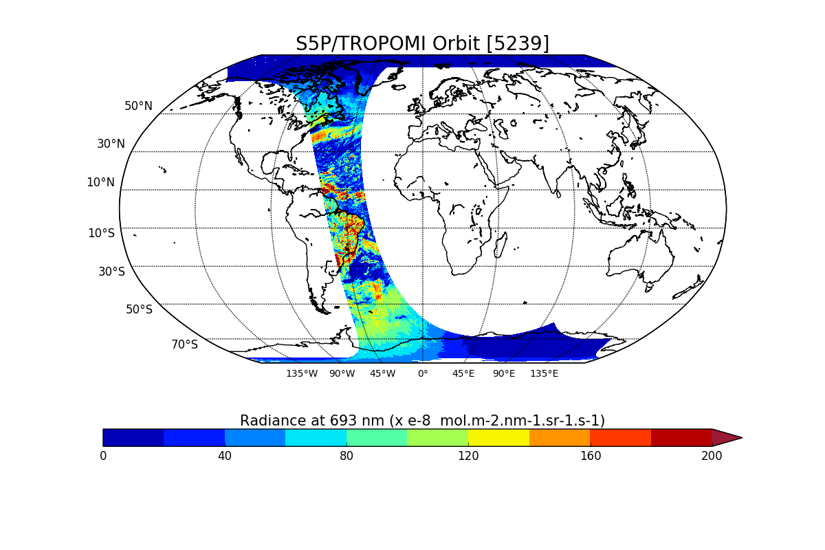
Sentinel-5P TROPOMI Radiance product band 5 (NIR detector) L1B V1 (S5P_L1B_RA_BD5) at GES DISC
National Aeronautics and Space Administration —
Starting from August 6th in 2019, Sentinel-5P TROPOMI along-track high spatial resolution (~5.5km at nadir) has been implemented. For data after August 6th of 2019,... -
Federal
Sentinel-5P TROPOMI Radiance product band 4 (UVIS detector) L1B 5.5km x 3.5km V2 (S5P_L1B_RA_BD4_HiR) at GES DISC
National Aeronautics and Space Administration —
Starting from August 6th in 2019, Sentinel-5P TROPOMI along-track high spatial resolution (~5.5km at nadir) has been implemented. For data before August 6th of 2019,... -
Federal
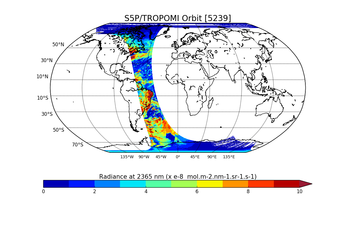
Sentinel-5P TROPOMI Radiance product band 8 (SWIR detector) L1B V1 (S5P_L1B_RA_BD8) at GES DISC
National Aeronautics and Space Administration —
Starting from August 6th in 2019, Sentinel-5P TROPOMI along-track high spatial resolution (~5.5km at nadir) has been implemented. For data after August 6th of 2019,... -
Federal
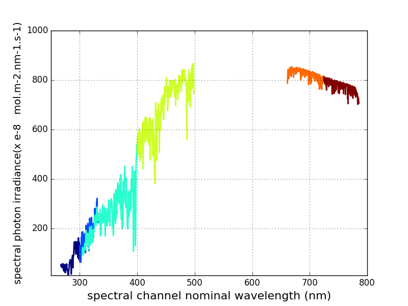
Sentinel-5P TROPOMI Irradiance product UVN module L1B V2 (S5P_L1B_IR_UVN) at GES DISC
National Aeronautics and Space Administration —
The Copernicus Sentinel-5 Precursor (Sentinel-5P or S5P) satellite mission is one of the European Space Agency's (ESA) new mission family - Sentinels, and it is a... -
Federal
GPM VIRS on TRMM unpacked data L1A 1.5 hours 2 km V07 (GPM_1AVIRS) at GES DISC
National Aeronautics and Space Administration —
This is the new (GPM-formated) TRMM product. It replaces the old TRMM_1A01 Version 07 is the current version of the data set. Previous versions have been superseded... -
Federal
HURRICANE AND SEVERE STORM SENTINEL (HS3) GLOBAL HAWK NAVIGATION V1
National Aeronautics and Space Administration —
The Hurricane and Severe Storm Sentinel (HS3) Global Hawk Navigation dataset consists of the real-time navigation and housekeeping data that was acquired from various... -
Federal
VIIRS/NPP Moderate Resolution Terrain-Corrected Geolocation 6-Min L1 Swath 750m NRT
National Aeronautics and Space Administration —
The VIIRS/NPP Moderate Resolution Terrain-Corrected Geolocation L1 6-Min Swath 750m Near Real Time (NRT) product, short-name VNP03MOD_NRT includes the geolocation... -
Federal
Sentinel-5P TROPOMI Radiance product band 1 (UV detector) L1B 5.5km x 21km V2 (S5P_L1B_RA_BD1_HiR) at GES DISC
National Aeronautics and Space Administration —
Starting from August 6th in 2019, Sentinel-5P TROPOMI along-track high spatial resolution (~5.5km at nadir) has been implemented. For data before August 6th of 2019,... -
Federal
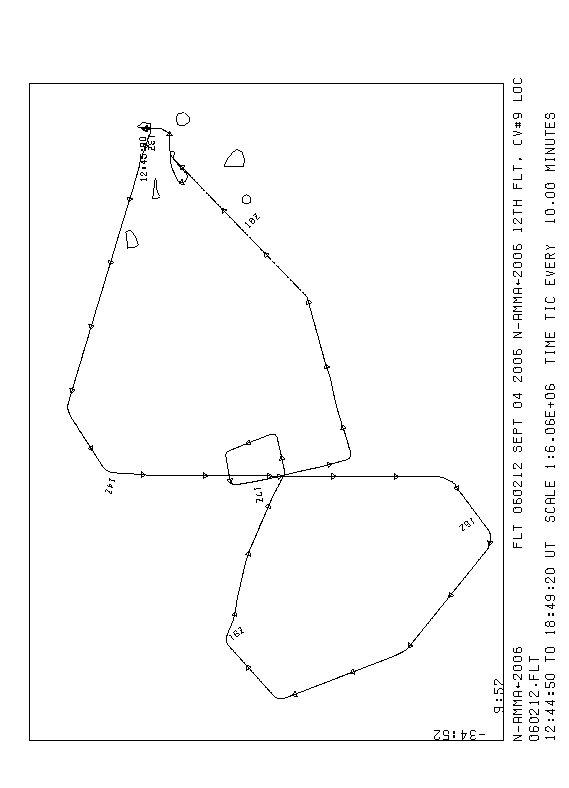
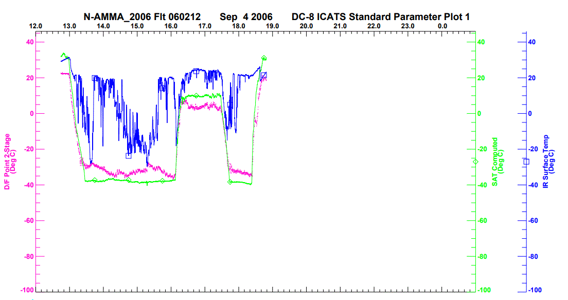
NAMMA DC-8 NAVIGATION AND HOUSEKEEPING (ICATS) V1
National Aeronautics and Space Administration —
The NAMMA DC-8 Navigation and Housekeeping (ICATS) dataset is designed to: 1) interface and process avionics and environmental paramaters from the Navigational... -
Federal
OLCI+SLSTR/Sentinel-3B L2 Surface Reflectance and Aerosol parameters over Land
National Aeronautics and Space Administration —
The OLCI+SLSTR/Sentinel-3B L2 Surface Reflectance and Aerosol parameters over Land product with shortname S3A_SY_2_SYN, is generated by combining data acquired by the... -
Federal
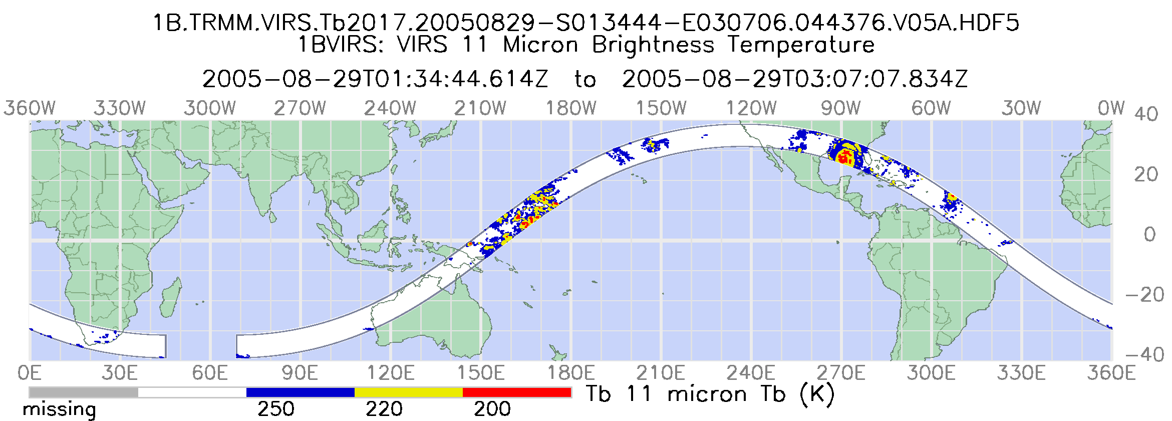
GPM VIRS on TRMM Radiance L1B 1.5 hours 2 km V07 (GPM_1BVIRS) at GES DISC
National Aeronautics and Space Administration —
This is the new (GPM-formated) TRMM product. It replaces the old TRMM_1B01 Version 07 is the current version of the data set. Previous versions have been superseded... -
Federal
SLSTR/Sentinel-3A L1 Full Resolution Top of Atmosphere Radiances and Brightness Temperature
National Aeronautics and Space Administration —
The SLSTR/Sentinel-3A L1 Full Resolution Top of Atmosphere Radiances and Brightness Temperature product with shortname S3A_SL_1_RBT, is generated from the data... -
Federal
Sentinel-5P TROPOMI Radiance product band 5 (NIR detector) L1B 5.5km x 3.5km V1 (S5P_L1B_RA_BD5_HiR) at GES DISC
National Aeronautics and Space Administration —
Starting from August 6th in 2019, Sentinel-5P TROPOMI along-track high spatial resolution (~5.5km at nadir) has been implemented. For data before August 6th of 2019,... -
Federal
GPM TMI on TRMM unpacked data L1A 1.5 hours 13 km V07 (GPM_1ATMI) at GES DISC
National Aeronautics and Space Administration —
This is the new (GPM-formated) TRMM product. It replaces the old TRMM_1A11 Version 07 is the current version of the data set. Previous versions have been superseded... -
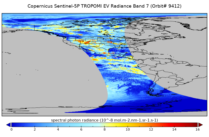
Federal
Sentinel-5P TROPOMI Radiance product band 7 (SWIR detector) L1B 5.5km x 7km V2 (S5P_L1B_RA_BD7_HiR) at GES DISC
National Aeronautics and Space Administration —
Starting from August 6th in 2019, Sentinel-5P TROPOMI along-track high spatial resolution (~5.5km at nadir) has been implemented. For data before August 6th of 2019,... -
Federal
CAMEX-4 DC-8 METEOROLOGICAL MEASUREMENT SYSTEM (MMS) V1
National Aeronautics and Space Administration —
The CAMEX-4 DC-8 Meteorological Measurement System (MMS) was collected by the MMS, which consists of three major systems: an air-motion sensing system to measure air... -
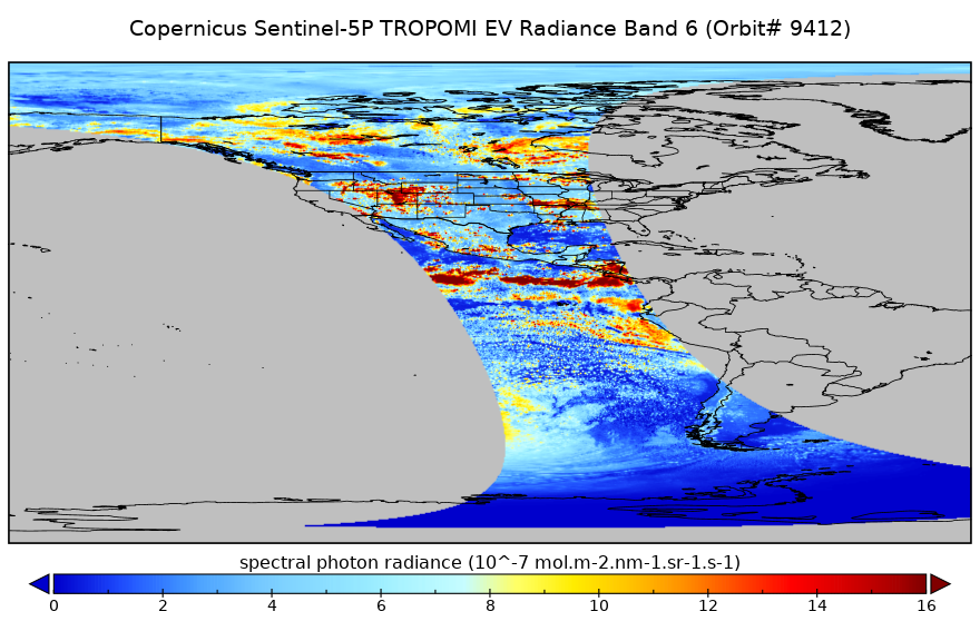
Federal
Sentinel-5P TROPOMI Radiance product band 6 (NIR detector) L1B 5.5km x 3.5km V2 (S5P_L1B_RA_BD6_HiR) at GES DISC
National Aeronautics and Space Administration —
Starting from August 6th in 2019, Sentinel-5P TROPOMI along-track high spatial resolution (~5.5km at nadir) has been implemented. For data before August 6th of 2019,... -
Federal
MODIS/Aqua Geolocation Fields 1km 5-Min 1A Narrow Swath Subset along CloudSat V002 (MAC03S0) at GES DISC NGDA
National Aeronautics and Space Administration —
This is the narrow-swath MODIS/Aqua subset along CloudSat field of view track. The goal of the narrow-swath subset is to select and return MODIS data that are within... -
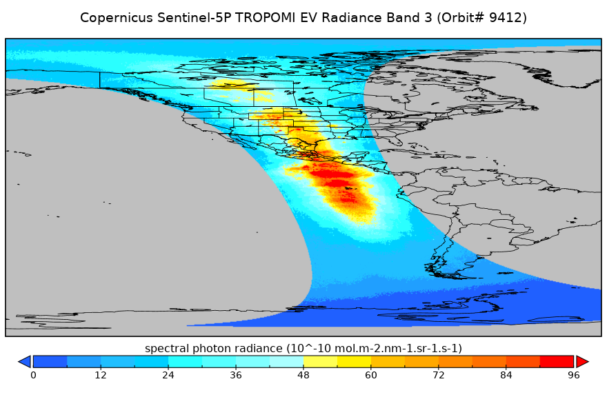
Federal
Sentinel-5P TROPOMI Radiance product band 3 (UVIS detector) L1B 5.5km x 3.5km V1 (S5P_L1B_RA_BD3_HiR) at GES DISC
National Aeronautics and Space Administration —
Starting from August 6th in 2019, Sentinel-5P TROPOMI along-track high spatial resolution (~5.5km at nadir) has been implemented. For data before August 6th of 2019,...

Official websites use .gov
A
.gov website belongs to an official government
organization in the United States.
Secure .gov websites use HTTPS
A
lock (
) or https:// means you’ve safely connected to
the .gov website. Share sensitive information only on official,
secure websites.