
-
Federal
ERS-1_LEVEL0
National Aeronautics and Space Administration —
ERS-1 Standard Beam Level 0 Frame -
Federal
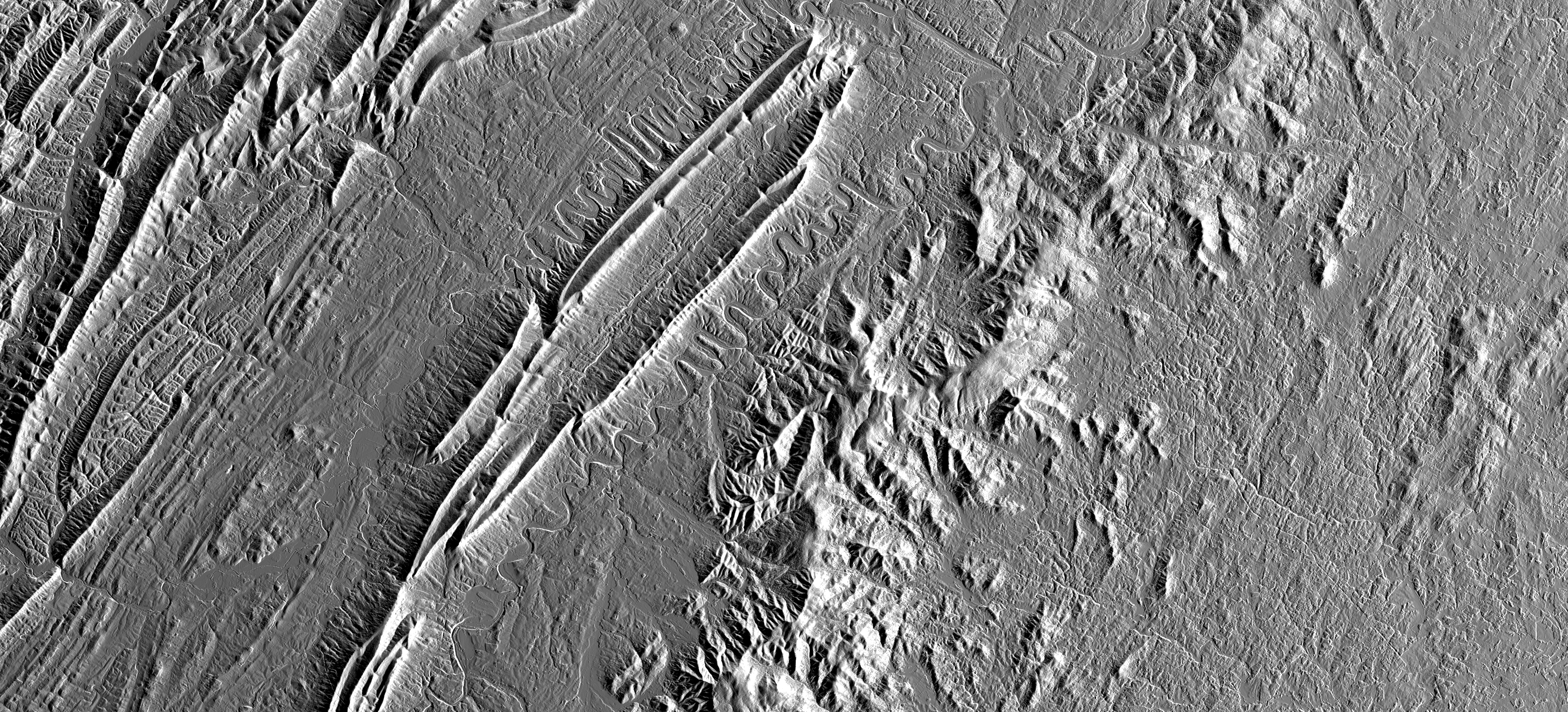
OPERA Radiometric Terrain Corrected SAR Backscatter from Sentinel-1 Static Layers validated product (Version 1)
National Aeronautics and Space Administration —
The Observational Products for End-Users from Remote Sensing Analysis (OPERA) Radiometric Terrain Corrected (RTC) SAR Backscatter from Sentinel-1 (S1) Static Layers... -
Federal
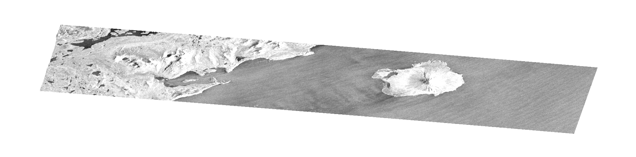
Sentinel-1 Single Look Complex (SLC) Bursts
National Aeronautics and Space Administration —
Sentinel-1 Interferometric Wide (IW) and Extra Wide (EW) swath modes are collected using a form of ScanSAR imaging called Terrain Observation with Progressive Scans... -
Federal
SENTINEL-1B_SINGLE_POL_METADATA_GRD_HIGH_RES
National Aeronautics and Space Administration —
Sentinel-1B Single-pol ground projected high and full resolution metadata -
Federal
LVIS Facility L2 Geolocated Surface Elevation and Canopy Height Product V001
National Aeronautics and Space Administration —
This data set contains Level-2 geolocated surface elevation and canopy height measurements collected by the NASA Land, Vegetation, and Ice Sensor (LVIS) Facility, an... -
Federal
International Polar Year Historical Data and Literature, Version 1
National Aeronautics and Space Administration —
The International Polar Year Historical Data and Literature collection (formerly known as the Discovery and Access of Historic Literature from the IPYs (DAHLI)... -
Federal
GLAS/ICESat L1B Global Elevation Data (HDF5) V034
National Aeronautics and Space Administration —
GLAH06 Level-1B Global Elevation is a product that is analogous to the geodetic data records distributed for radar altimetry missions. It contains elevations... -
Federal
Antarctic 1 km Digital Elevation Model (DEM) from Combined ERS-1 Radar and ICESat Laser Satellite Altimetry, Version 1
National Aeronautics and Space Administration —
This data set provides a 1 km resolution Digital Elevation Model (DEM) of Antarctica. The DEM combines measurements from the European Remote Sensing Satellite-1... -
Federal
GLAS/ICESat 1 km Laser Altimetry Digital Elevation Model of Greenland, Version 1
National Aeronautics and Space Administration —
The Geoscience Laser Altimeter System (GLAS) instrument on the Ice, Cloud, and land Elevation Satellite (ICESat) provides global measurements of elevation, and... -
Federal
ALOS_PALSAR_RTC_HIGH_RES
National Aeronautics and Space Administration —
PALSAR_Radiometric_Terrain_Corrected_high_res -
Federal
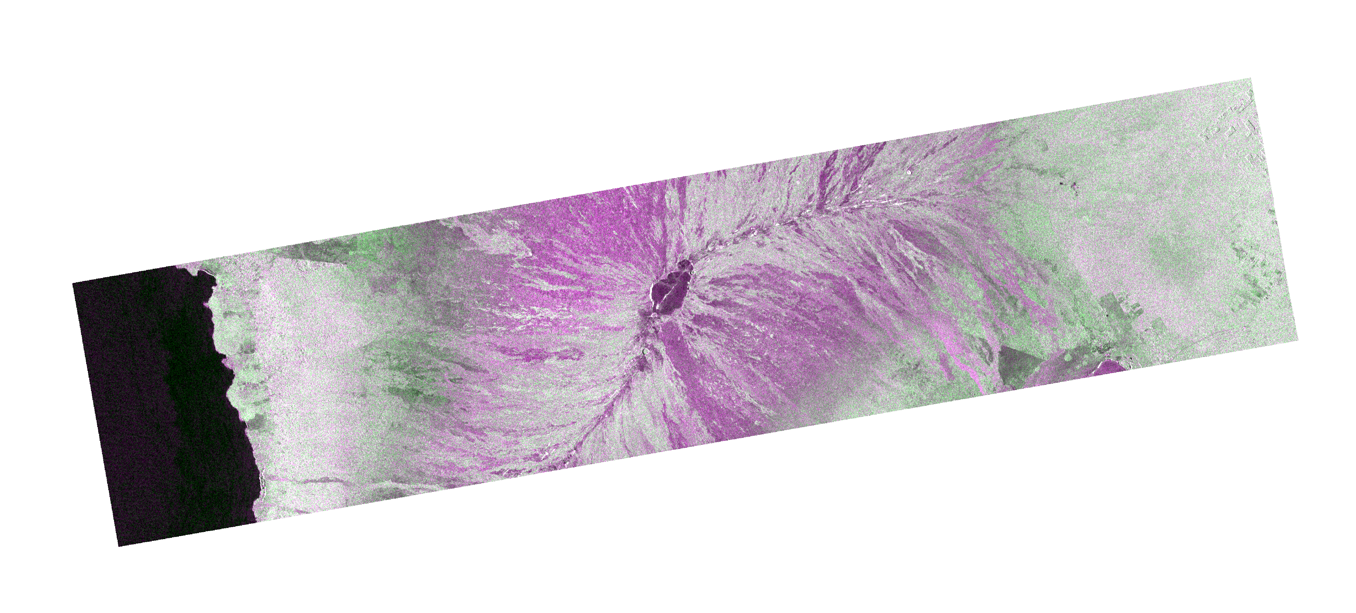
OPERA Coregistered Single-Look Complex from Sentinel-1 Static Layers validated product (Version 1)
National Aeronautics and Space Administration —
The Observational Products for End-Users from Remote Sensing Analysis (OPERA) Coregistered Single-Look Complex (CSLC) from Sentinel-1 (S1) Static Layers... -
Federal
OPERA Coregistered Single-Look Complex from Sentinel-1 validated product (Version 1)
National Aeronautics and Space Administration —
The Observational Products for End-Users from Remote Sensing Analysis (OPERA) Coregistered Single-Look Complex (CSLC) from Sentinel-1 validated product consists of... -
Federal
CLPX Airborne: Airborne Visible/Infrared Imaging Spectrometer (AVIRIS) Data, Version 1
National Aeronautics and Space Administration —
This data set consists of apparent surface reflectance, subpixel snow-covered area and grain size inferred from data acquired by the Airborne Visible/Infrared Imaging... -
Federal
OPERA Radiometric Terrain Corrected SAR Backscatter from Sentinel-1 validated product (Version 1)
National Aeronautics and Space Administration —
The Observational Products for End-Users from Remote Sensing Analysis (OPERA) Radiometric Terrain Corrected (RTC) SAR Backscatter from Sentinel-1 (S1) validated... -
Federal
ALOS_PALSAR_RTC_LOW_RES
National Aeronautics and Space Administration —
PALSAR_Radiometric_Terrain_Corrected_low_res -
Federal
SENTINEL-1A_SINGLE_POL_GRD_HIGH_RES
National Aeronautics and Space Administration —
Sentinel-1A Single-pol ground projected high and full resolution images -
Federal
SENTINEL-1A_DUAL_POL_GRD_FULL_RES
National Aeronautics and Space Administration —
Sentinel-1A Dual-pol ground range detected full resolution images

Official websites use .gov
A
.gov website belongs to an official government
organization in the United States.
Secure .gov websites use HTTPS
A
lock (
) or https:// means you’ve safely connected to
the .gov website. Share sensitive information only on official,
secure websites.