

26 datasets found
-
Federal
Sulfates, Clouds and Radiation America NASA ER-2 Moderate Resolution Imaging Spectrometer (MODIS) Airborne Simulator (MAS) Data
National Aeronautics and Space Administration —
SCAR_A_ER2_MAS data are Sulfates, Clouds and Radiation America (SCARA) NASA ER2 Moderate Resolution Imaging Spectrometer (MODIS) Airborne Simulator (MAS) Data in... -
Federal
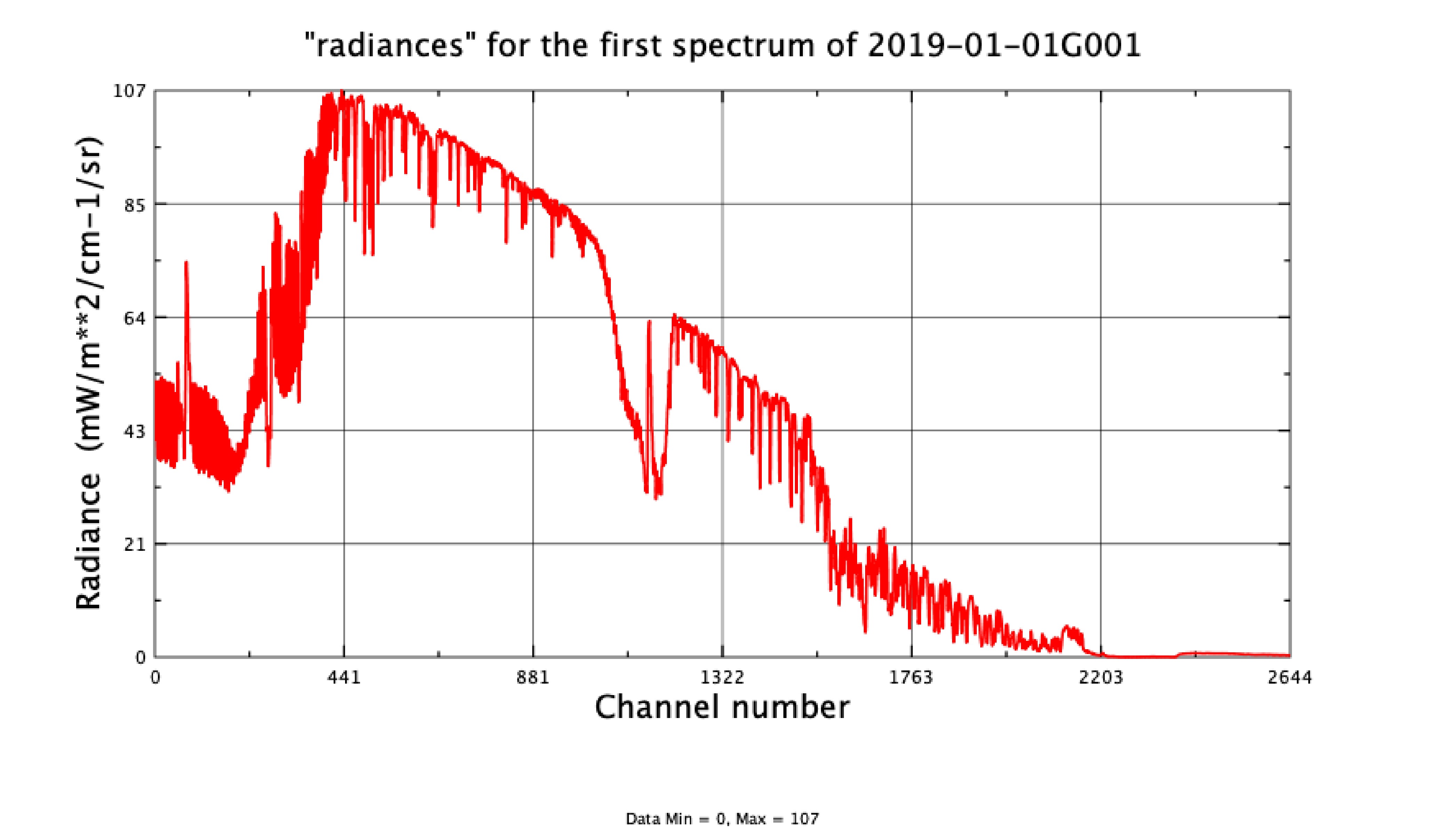
AIRS/Aqua L1C Infrared (IR) resampled and corrected radiances V6.7 (AIRICRAD) at GES DISC
National Aeronautics and Space Administration —
WARNING: AIRS L1C v6.7 has been impacted by an Aqua Deep Space Maneuver on Sept 23, 2021. Full data impact is still being assessed and an update to the AIRS L1C... -
Federal
First ISCCP Regional Experiment (FIRE) Atlantic Stratocumulus Transition Experiment (ASTEX) SOFIA ARAT Fokker F27 Aircraft Flight Data
National Aeronautics and Space Administration —
The First ISCCP Regional Experiments have been designed to improve data products and cloud/radiation parameterizations used in general circulation models (GCMs).... -
Federal
OLCI+SLSTR/Sentinel-3A L2 Surface Reflectance and Aerosol parameters over Land
National Aeronautics and Space Administration —
The OLCI+SLSTR/Sentinel-3A L2 Surface Reflectance and Aerosol parameters over Land product with shortname S3A_SY_2_SYN, is generated by combining data acquired by the... -
Federal
CALIPSO Wide Field Camera Level 1B 1 km Native Science data, Validated Stage 1 V3-01
National Aeronautics and Space Administration —
CAL_WFC_L1_1Km-ValStage1-V3-01 data are Cloud-Aerosol Lidar and Infrared Pathfinder Satellite Observation (CALIPSO) Wide Field Camera (WFC) Level 1B 1km Native... -
Federal
AIRS/Aqua L1B Near Real Time (NRT) Infrared (IR) geolocated and calibrated radiances in BUFR format V005 (AIRIBRAD_NRT_BUFR) at GES DISC
National Aeronautics and Space Administration —
WARNING: On 2021/09/23 the EOS Aqua executed a Deep Space Maneuver (DSM). In the DSM, the spacecraft is turned such that the normal Earth field of regard is deep...
26 datasets found