
-
Federal
First ISCCP Regional Experiment (FIRE) Atlantic Stratocumulus Transition Experiment (ASTEX) United Kingdom Meteorological Office (UKMO) C-130 Aircraft Data recent views
National Aeronautics and Space Administration —
The First ISCCP Regional Experiments have been designed to improve data products and cloud/radiation parameterizations used in general circulation models (GCMs).... -
Federal
MLS/Aura Level 3 Daily Binned Cloud Ice (IWC) on Assorted Grids V005 (ML3DBIWC) at GES DISC recent views
National Aeronautics and Space Administration —
ML3DBIWC is the EOS Aura Microwave Limb Sounder (MLS) daily binned on various vertical grids product for cloud ice water content (IWC) derived from radiances measured... -
Federal
MISR Near Real Time (NRT) Level 2 Cloud Motion Vector parameters in BUFR format V001 recent views
National Aeronautics and Space Administration —
This is the MISR Level 2 Cloud Motion Vector Product containing height-resolved cloud motion vectors with associated data in BUFR format. It is used for MISR Near... -
Federal
First ISCCP Regional Experiment (FIRE) Atlantic Stratocumulus Transition Experiment (ASTEX) ECMWF Cloud Data recent views
National Aeronautics and Space Administration —
A special set of analysis products for the Atlantic Stratocumulus Transition Experiment (ASTEX) region during June 1-28, 1992 was prepared by Ernst Klinker and Tony... -
Federal
GEWEX SRB Integrated Product (Rel-4) Ancillary 3-Hourly recent views
National Aeronautics and Space Administration —
GEWEX SRB Integrated Product (Rel-4) Ancillary 3-Hourly contains the global fields of meteorology, clouds and other ancillary data that serves as the inputs to the... -
Federal
CALIPSO Infrared Imaging Radiometer (IIR) Level 2 Track, V4-20 recent views
National Aeronautics and Space Administration —
CAL_IIR_L2_Track-Standard-V4-20 is the Cloud-Aerosol Lidar and Infrared Pathfinder Satellite Observations (CALIPSO) Infrared Imaging Radiometer (IIR) Level 2 Track,... -
Federal
First ISCCP Regional Experiment (FIRE) Marine Stratocumulus Microwave Radiometer Data recent views
National Aeronautics and Space Administration —
The First ISCCP Regional Experiments have been designed to improve data products and cloud/radiation parameterizations used in general circulation models (GCMs).... -
Federal
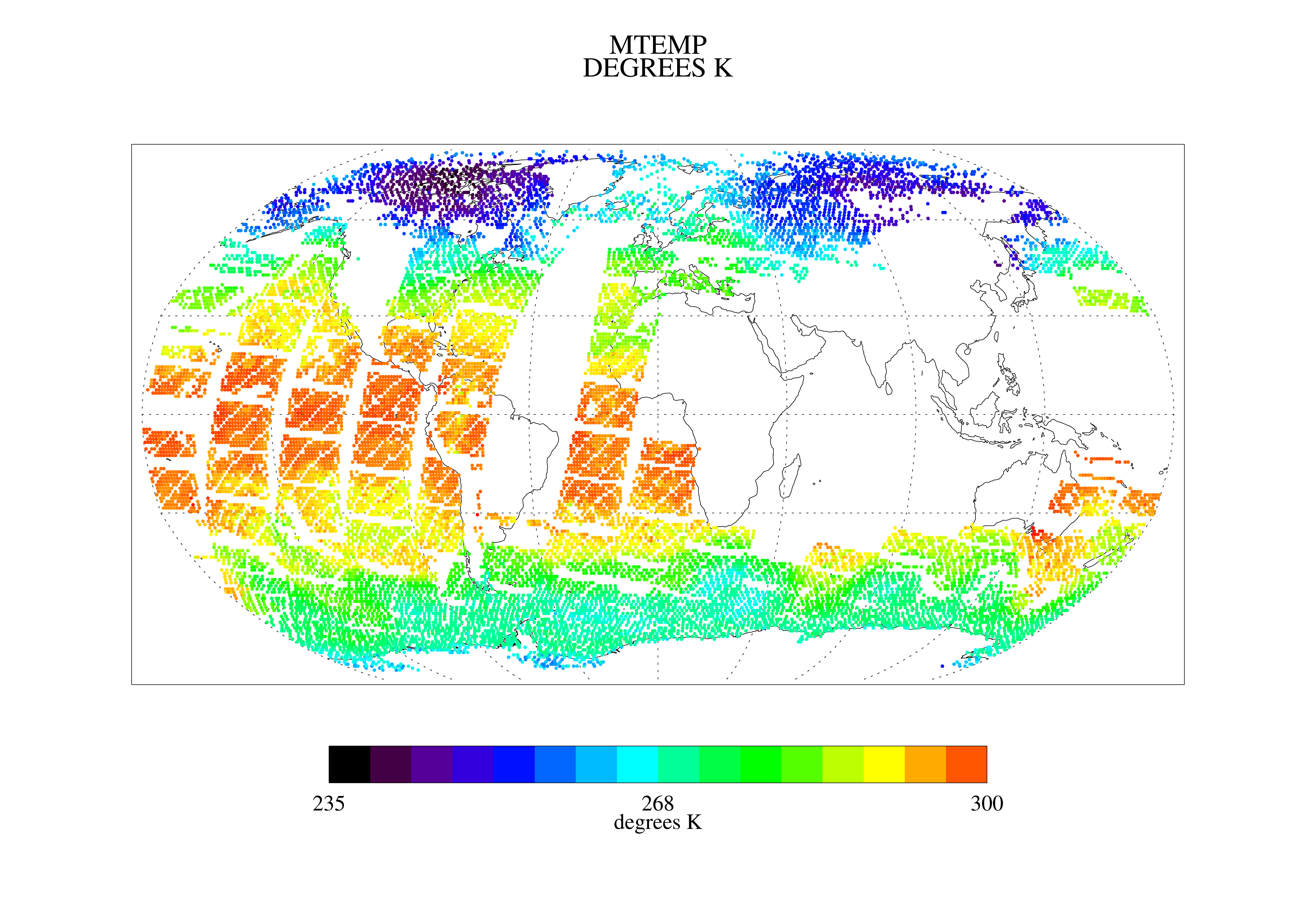
TOVS LMD DAILY GRIDS from NOAA-10 V01 (TOVSBDNG) at GES DISC recent views
National Aeronautics and Space Administration —
Level 3 parameters from HIRS/2 and MSU radiances using the Improved Initialization Inversion (3I) classification retrieval scheme by the Laboratoire de Meteorologie... -
Federal
AIRS/Aqua L3 8-day Standard Physical Retrieval (AIRS+AMSU+HSB) 1 degree x 1 degree V006 (AIRH3ST8) at GES DISC recent views
National Aeronautics and Space Administration —
The Atmospheric Infrared Sounder (AIRS) is a grating spectrometer (R = 1200) aboard the second Earth Observing System (EOS) polar-orbiting platform, EOS Aqua. In... -
Federal
First ISCCP Regional Experiment (FIRE) Cirrus 1 Colorado State University Sabreliner Aircraft Radiometric and Meteorological Data recent views
National Aeronautics and Space Administration —
This data set contains meteorological and radiometeric data from the NCAR Sabreliner aircraft that was collected during the 1986 FIRE Cirrus IFO. The NCAR Sabreliner... -
Federal
DC3 In-Situ NSF/NCAR GV-HIAPER Cloud Data recent views
National Aeronautics and Space Administration —
DC3_Cloud_AircraftInSitu_NSF-GV-HIAPER_Data are in-situ cloud data collected onboard the NSF/NCAR GV-HIAPER aircraft during the Deep Convective Clouds and Chemistry... -
Federal
Hurricane and Severe Storm Sentinel (HS3) Cooperative Institute for Meteorological Satellite Studies (CIMSS) Tropical Overshooting Tops V1 recent views
National Aeronautics and Space Administration —
The Hurricane and Severe Storm Sentinel (HS3) Cooperative Institute for Meteorological Satellite Studies (CIMSS) Tropical Overshooting Tops dataset contains browse... -
Federal
Multisensor Advanced Climatology Mean Liquid Water Path L3 Monthly 1 degree X 1 degree V1 (MACLWP_mean) at GES DISC recent views
National Aeronautics and Space Administration —
The Multi-Sensor Advanced Climatology of Liquid Water Path (MAC-LWP) data set contains monthly 1.0-degree ocean-only estimates of cloud liquid water path... -
Federal
OMI/Aura Effective Cloud Pressure and Fraction (Raman Scattering) 1-Orbit L2 Swath 13x24 km V004 (OMCLDRR) at GES DISC recent views
National Aeronautics and Space Administration —
This is the Aura Ozone Monitoring Instrument (OMI) Version 004 Level 2 Cloud Data Product OMCLDRR. OMI provides two Level-2 Cloud products (OMCLDRR and OMCLDO2) at... -
Federal
MODIS/Aqua Clouds 5-Min L2 Swath 1km and 5km NGDA recent views
National Aeronautics and Space Administration —
The MODIS/Aqua Clouds 5-Min L2 Swath 1km and 5km product consists of cloud optical and physical parameters. The cloud optical parameters are generated at 1km and... -
Federal
Sounder SIPS: Suomi NPP CrIMSS Level 2 CLIMCAPS Normal Spectral Resolution: Atmosphere cloud and surface geophysical state V2 (SNDRSNIML2CCPRETN) at GES DISC recent views
National Aeronautics and Space Administration —
WARNING: To users of the derived product “co_mmr_midtrop” (carbon monoxide mass mixing ratio to dry air [kg/kg] at ~500 hPa). This variable has a significant bias due... -
Federal
MODIS/Aqua Cloud Properties Level 3 monthly, 1x1 degree grid NGDA recent views
National Aeronautics and Space Administration —
The Cloud Properties Level-3 gridded product is designed to facilitate continuity in cloud property statistics between the MODIS on the Aqua and Terra platforms and... -
Federal
GPM PR and TMI on TRMM Combined Convective-Stratiform Latent Heating Profiles L3 1 month 0.25x0.25 degree V07 (GPM_3HCSH_TRMM) at GES DISC recent views
National Aeronautics and Space Administration —
This is the new (GPM-formated) TRMM product. It replaces the old TRMM legacy TRMM_3H31 Version 07 is the current version of the data set. Older versions will no... -
Federal
AMSR-E/AMSR2 Unified L2B Global Swath Ocean Products V001 recent views
National Aeronautics and Space Administration —
This AMSR Unified global ocean data set reports integrated water vapor and cloud liquid water content in the atmospheric column, plus 10-meter sea surface wind... -
Federal
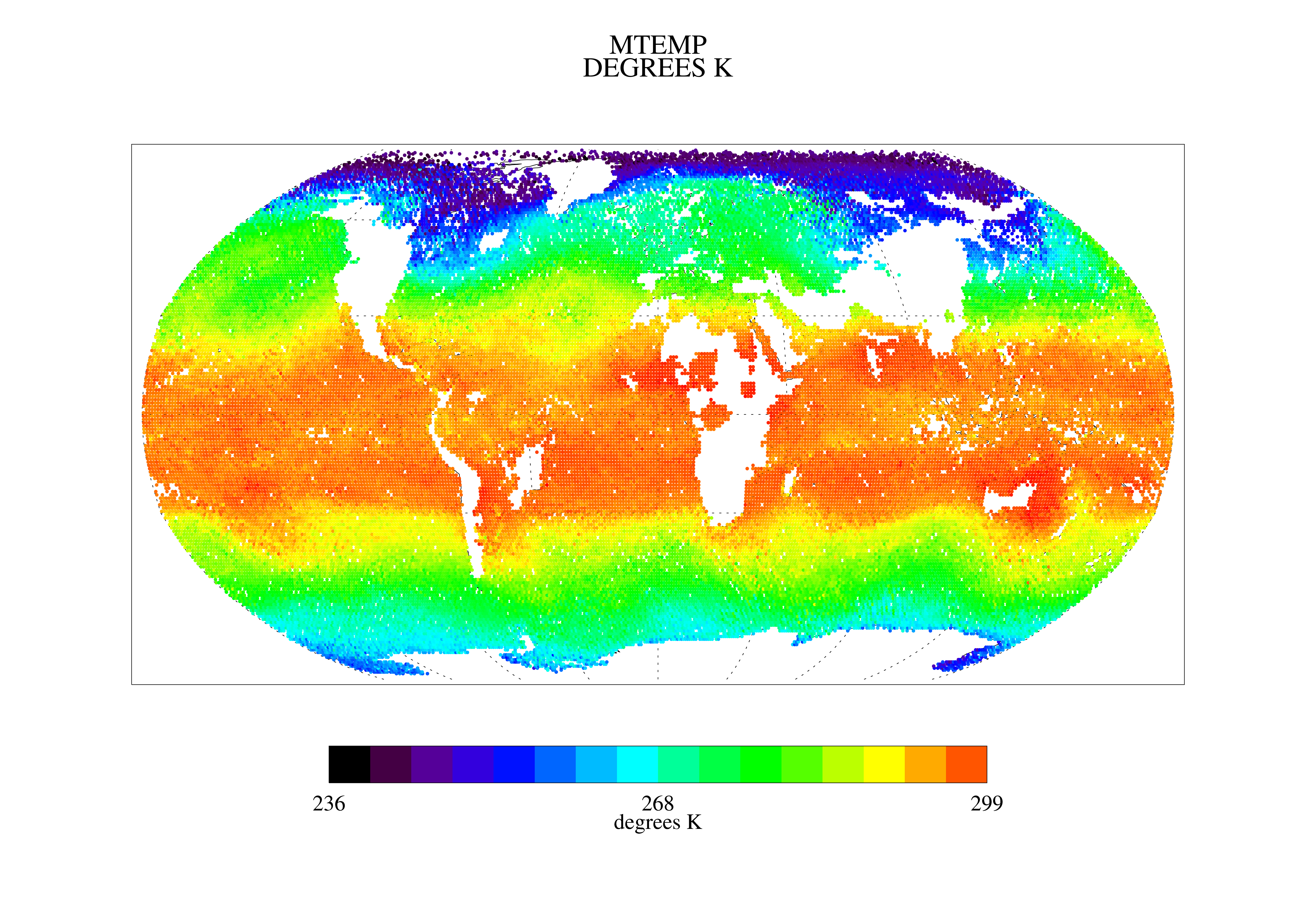
TOVS LMD 5 DAY GRIDS from NOAA-10 V01 (TOVSB5NG) at GES DISC recent views
National Aeronautics and Space Administration —
Level 3 parameters from HIRS/2 and MSU radiances using the Improved Initialization Inversion (3I) classification retrieval scheme by the Laboratoire de Meteorologie...

Official websites use .gov
A
.gov website belongs to an official government
organization in the United States.
Secure .gov websites use HTTPS
A
lock (
) or https:// means you’ve safely connected to
the .gov website. Share sensitive information only on official,
secure websites.