

62 datasets found for "organization:((doe-gov) OR (eia-doe-gov) OR (osti-gov))"
-
Federal
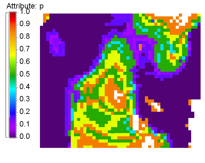
Offshore Wind Composite Siting Exclusions Scenarios recent views
Department of Energy —
This dataset consolidates criteria that restrict the siting of offshore wind energy installations, an update from Zuckerman et al. (2023). All scenarios exclude area... -
Federal
Snake River Plain Geothermal Play Fairway Analysis Heat, Permeability, and Seal CRS Map Raster Files recent views
Department of Energy —
Snake River Plain Play Fairway Analysis - Phase 1 CRS Raster Files. This dataset contains raster files created in ArcGIS. These raster images depict Common Risk... -
Federal
DEEPEN 3D PFA Favorability Models and 2D Favorability Maps at Newberry Volcano recent views
Department of Energy —
DEEPEN stands for DE-risking Exploration of geothermal Plays in magmatic ENvironments. Part of the DEEPEN project involved developing and testing a methodology for a... -
Federal
United States Utility-Scale PV Supply Curves 2023 recent views
Department of Energy —
This data packet contains supply curves, hourly generation profiles, and a composite siting exclusion TIFF for utility-scale PV across the contiguous United States.... -
Federal
Wind Turbine Transmission Setbacks: Ordinances (2022) and Extrapolated Trends, 115 Hub Height 170 Rotor Diameter recent views
Department of Energy —
This dataset represents wind energy setback requirements from transmission based on existing county ordinances as of April 2022. A setback requirement is a minimum... -
Federal
Wind Turbine Structure Setbacks: Ordinances (2022) and Extrapolated Trends, 115 Hub Height 170 Rotor Diameter recent views
Department of Energy —
This dataset represents wind energy setback requirements from structures based on existing county ordinances as of April 2022. A setback requirement is a minimum... -
Federal
Next Generation Weather Radar (NEXRAD) Setback (4-km) recent views
Department of Energy —
The Next Generation Weather Radar (NEXRAD) system is a network of doppler radar operated jointly by the National Weather Service (NWS), the Federal Aviation... -
Federal
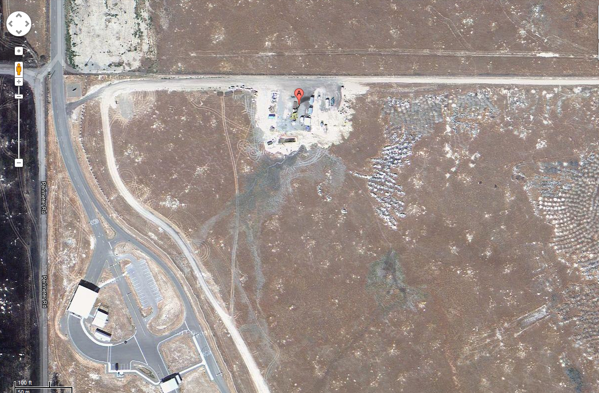
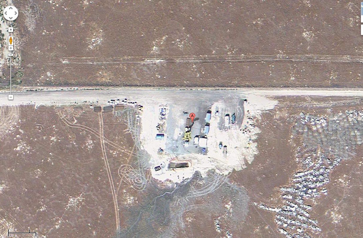
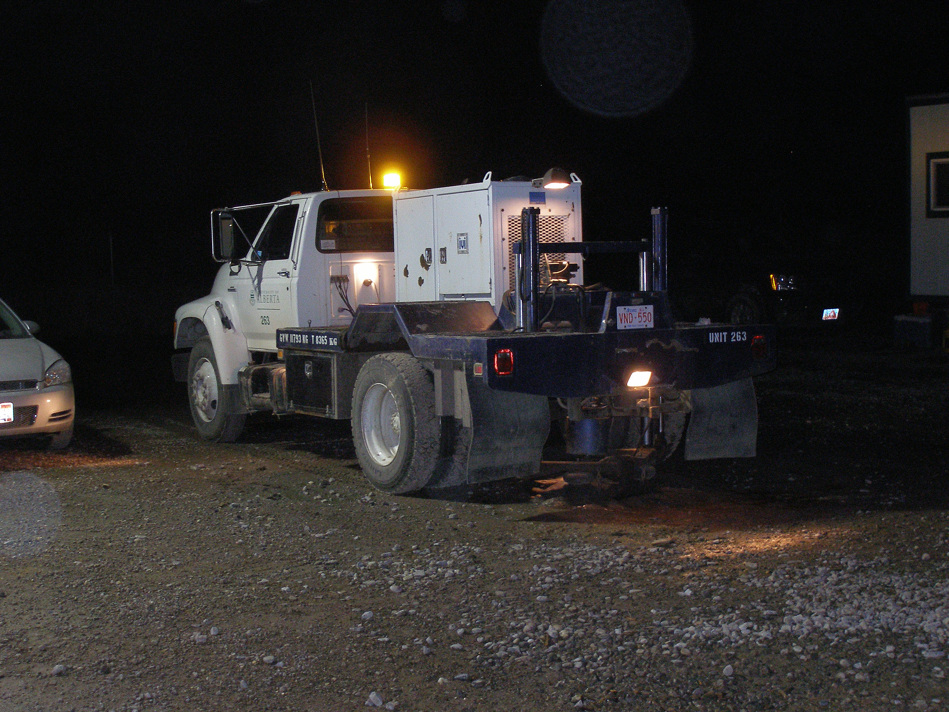
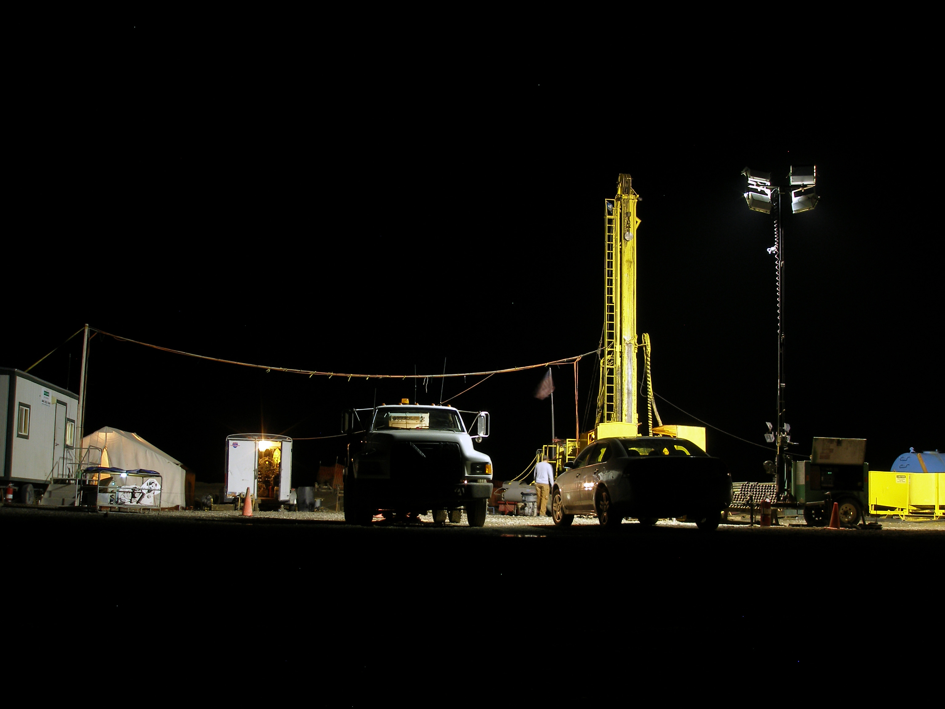
Project HOTSPOT: Mountain Home Well Core and Drill Site Photos recent views
Department of Energy —
The Snake River Plain (SRP), Idaho, hosts potential geothermal resources due to elevated groundwater temperatures associated with the thermal anomaly Yellowstone-... -
Federal
WISE-CASING: DC Simulation at Containment and Monitoring Institute (CaMI), Calgary, Canada recent views
Department of Energy —
For the model calculation we applied EM3D using completion diagram of CaMI site and a background resistivity consistent with the borehole logs. It was also important... -
Federal
Conductance Steamflow Relationship recent views
Department of Energy —
These histograms represent our calibration of conductance of a volcanic geothermal field (with a clay cap) and the observed steam flow rates. Darajat is a vapor... -
Federal
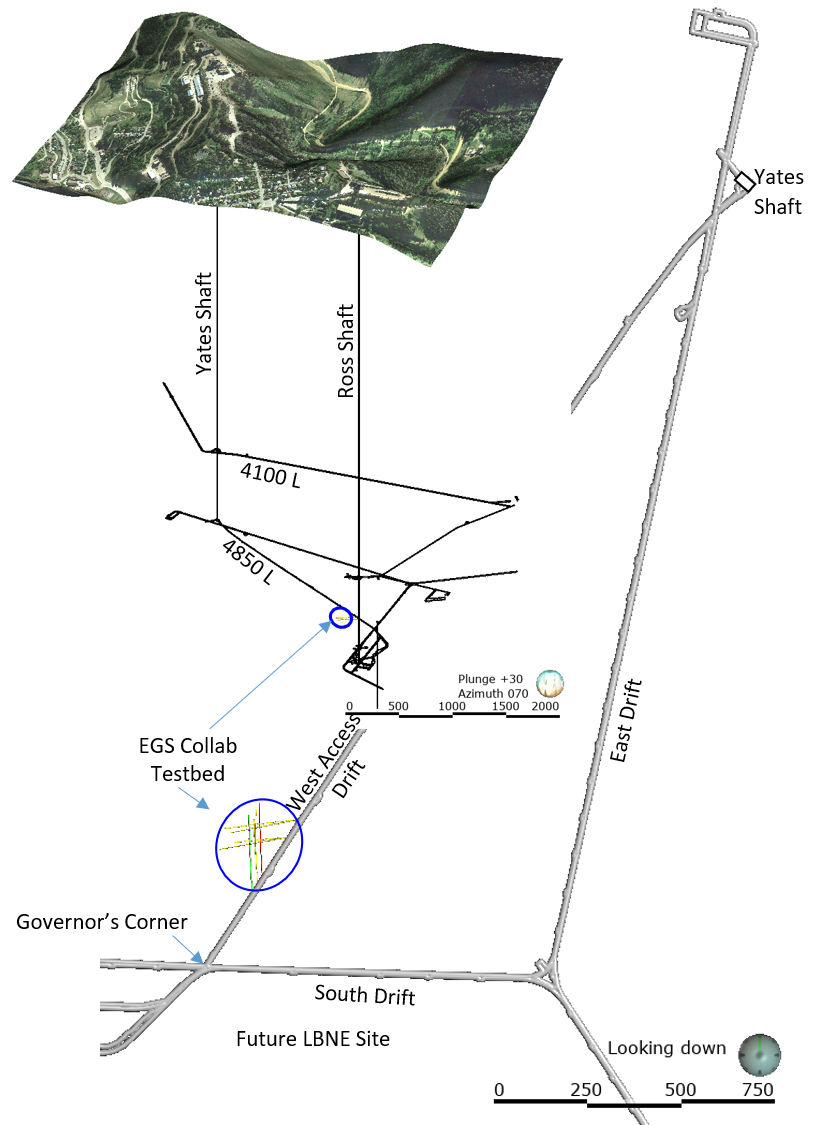
EGS Collab Experiment 2: Laser Scanned 4100 L Drift Map recent views
Department of Energy —
The EGS Collab project is evaluating a site for Experiment 2 (hydraulic fracturing/shearing) at a depth of 1.25 km in the Sanford Underground Research Facility (SURF)... -
Federal
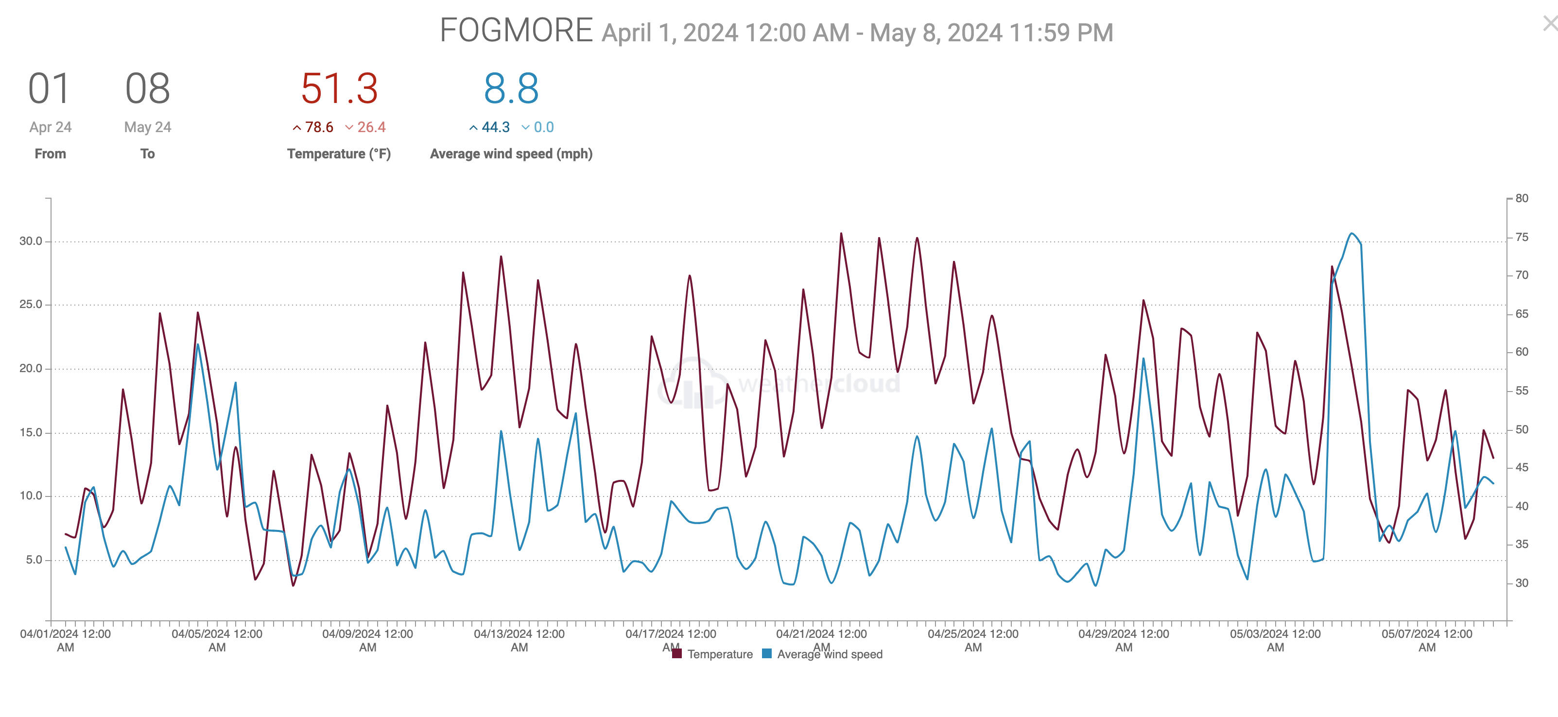
Utah FORGE Project 3-2417: Meteorological Data During 2024 Stimulation recent views
Department of Energy —
This preliminary data archive includes meteorological data recorded at the Utah FORGE facility over the period of time including the 16A/16B stimulation activities,... -
Federal
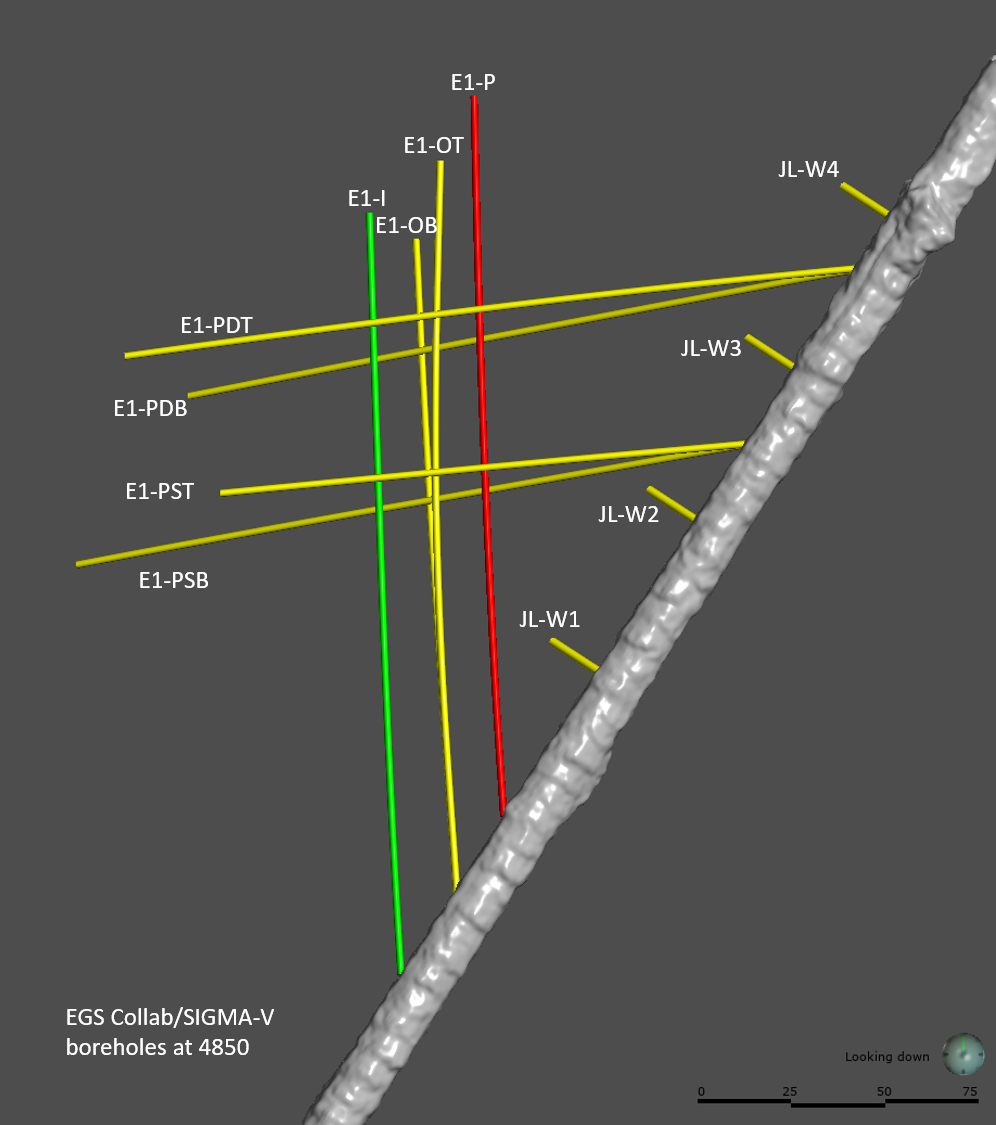
EGS Collab Experiment 1: Well Locations and Orientations. recent views
Department of Energy —
The EGS Collab is conducting experiments in hydraulic fracturing at a depth of 1.5 km in the Sanford Underground Research Facility (SURF) on the 4850 Level. A total... -
Federal
EGS Collab Experiment 2: Core Logs recent views
Department of Energy —
Core logs and photos from the EGS Collab project Experiment 2 for the Top Vertical well (TV4100) and the Top Horizontal well (TV 4100) on the 4100 Level of SURF (the... -
Federal
Field Testing of Compartmentalization Methods for Multifamily Construction - Washington DC recent views
Department of Energy —
BSC TO5 Task 2.1 Field Testing of Compartmentalization Methods for Multifamily Construction - Capitol Heights, MD 20743 A building comprising five vertical townhome... -
Federal
DEEPEN: Final 3D PFA Favorability Models and 2D Favorability Maps at Newberry Volcano recent views
Department of Energy —
Part of the DEEPEN (DE-risking Exploration of geothermal Plays in magmatic ENvironments) project involved developing and testing a methodology for a 3D play fairway... -
Federal
Elevation Grid for top Columbia River Basalt (CRBG) in the Portland Basin used in DDU Feasibility Study recent views
Department of Energy —
The Portland Basin is a prime location to assess the feasibility of DDU-TES because natural geologic conditions provide thermal and hydraulic separation from... -
Federal
USU Camas-1 Test Well: Documentation recent views
Department of Energy —
This submission contains documents that describe the USU Camas-1 test well, drilled in Camas Prairie, Idaho, in Fall 2018 and Fall 2019. The purpose of this well is... -
Federal
Validation of Innovative Exploration Technologies for Newberry Volcano: LiDAR of Newberry Volcano recent views
Department of Energy —
Validation of Innovative Exploration Technologies for Newberry Volcano: LiDAR of Newberry Volcano 2012 -
Federal
Snake River Plain Geothermal Play Fairway Analysis Project Active Source Seismic Data recent views
Department of Energy —
This archive contains seismic shot field records for 10 profiles located in Camas Prairie, Idaho. The eight numbered .sgy files were acquired using a seismic land...
62 datasets found for "organization:((doe-gov) OR (eia-doe-gov) OR (osti-gov))"