

33 datasets found for "Volcanoes"
-
Federal
RADARSAT-1 Level 1 Product
National Aeronautics and Space Administration —
RADARSAT-1 Level 1 Amplitude Images -
Federal
VIIRS/NPP Thermal Anomalies/Fire 6-Min L2 Swath 750m V002
National Aeronautics and Space Administration —
The Visible Infrared Imaging Radiometer Suite (VIIRS) Thermal Anomalies (VNP14) Version 2 product is produced in 6-minute temporal satellite increments (swaths) at... -
Federal
MISR Derived Case Study Data for Kilauea Volcanic Eruptions Including Geometric Plume Height and Qualitative Radiometric Particle Property Information
National Aeronautics and Space Administration —
The KILVOLC_FlowerKahn2021_1 dataset is the MISR Derived Case Study Data for Kilauea Volcanic Eruptions Including Geometric Plume Height and Qualitative Radiometric... -
Federal
ALOS PALSAR Level 1.5 Product
National Aeronautics and Space Administration —
ALOS PALSAR Level 1.5 -
Federal
MASTER: HyspIRI Airborne Campaign, Hawaii, 2017
National Aeronautics and Space Administration —
This dataset includes Level 1B (L1B) and Level 2 (L2) data products from the MODIS/ASTER Airborne Simulator (MASTER) instrument. The spectral data were collected as... -
Federal
MODIS/Terra Thermal Anomalies/Fire 5-Min L2 Swath 1km V061
National Aeronautics and Space Administration —
The Moderate Resolution Imaging Spectroradiometer (MODIS) Thermal Anomalies and Fire MOD14 Version 6.1 product is produced daily in 5-minute temporal satellite... -
Federal
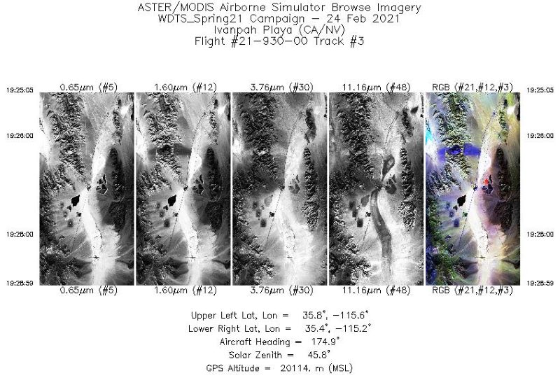
MASTER: Western Diversity Time Series Campaign, WDTS, California, USA, Spring 2021
National Aeronautics and Space Administration —
This dataset includes Level 1B (L1B) and Level 2 (L2) data products from the MODIS/ASTER Airborne Simulator (MASTER) instrument. The spectral data were collected as... -
Federal
MODIS/Aqua Terra Thermal Anomalies/Fire locations 1km FIRMS NRT (Vector data)
National Aeronautics and Space Administration —
The MODIS/Aqua Terra Thermal Anomalies/Fire locations 1km FIRMS Near Real-Time (NRT) - Collection 61 processed by NASA's Land, Atmosphere Near real-time Capability... -
Federal
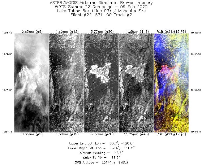
MASTER: Western Diversity Time Series Campaign, WDTS, September 2022
National Aeronautics and Space Administration —
This dataset includes Level 1B (L1B) and Level 2 (L2) data products from the MODIS/ASTER Airborne Simulator (MASTER) instrument. The spectral data were collected as... -
Federal
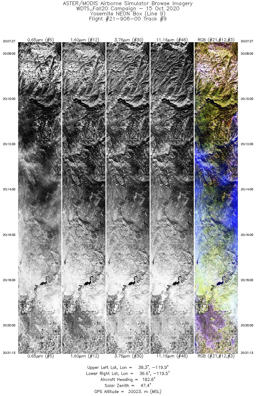
MASTER: Western Diversity Time Series Campaign, WDTS, California, USA, Fall 2020
National Aeronautics and Space Administration —
This dataset includes Level 1B (L1B) and Level 2 (L2) data products from the MODIS/ASTER Airborne Simulator (MASTER) instrument. The spectral data were collected as... -
Federal
VIIRS/JPSS1 Active Fires 6-Min L2 Swath 375m V002
National Aeronautics and Space Administration —
The Visible Infrared Imaging Radiometer Suite (VIIRS) Active Fires (VJ114IMG) Version 2 product is produced in 6-minute temporal satellite increments (swaths) at 375... -
Federal
VIIRS/JPSS1 Thermal Anomalies/Fire 6-Min L2 Swath 750m V002
National Aeronautics and Space Administration —
The Visible Infrared Imaging Radiometer Suite (VIIRS) Thermal Anomalies (VJ114) Version 2 product is produced in 6-minute temporal satellite increments (swaths) at... -
Federal
MODIS/Terra Thermal Anomalies/Fire 5-Min L2 Swath 1km V006
National Aeronautics and Space Administration —
The MOD14 Version 6 data product was decommissioned on July 31, 2023. Users are encouraged to use the MOD14 Version 6.1 data product.The Moderate Resolution Imaging...
33 datasets found for "Volcanoes"