

77 datasets found for "Trails"
-
Federal
MVUM Symbology - Motor Vehicle Use Map Trails
Department of Agriculture —
This feature class depicts Forest Service trails where motorized use is allowed. It contains information on the specific type of motor vehicle and their seasons of... -
Bike Trails
District of Columbia —
This feature layer shows the location of each existing multi-use trail in the District of Columbia. The map also includes details such as trail surfaces, trail... -
City
Park Recreational Trails
City of Sioux Falls —
Feature layer containing authoritative park recreational trail lines for Sioux Falls, South Dakota. -
Trail Mile Markers
District of Columbia —
The Trail Mile Marker dataset includes mile marker locations on the sections of the Anacostia River Trail, Metropolitan Branch Trail, and Klingle Valley Trail. The... -
City
Jefferson County KY Bikeways
Louisville Metro Government —
All categories of bicycle facilities in Jefferson County. These include Bike Lanes, Shared Use Paths, roads with shared lane markings, signed bike routes, and... -
City
Bike Routes
City of Hartford —
The planimetric data was compiled by The James Sewell Company and is based on an aerial flight performed in April 2006. In addition, the City's GIS staff has been... -
State
Bighorn Sheep Hunt Zones [ds784]
State of California —
Hunting Zone Boundaries for Bighorn Sheep See: http://www.dfg.ca.gov/wildlife/Bighorn/ for details about the Bighorn Sheep Management Program NOTE: Hunt boundary... -
County
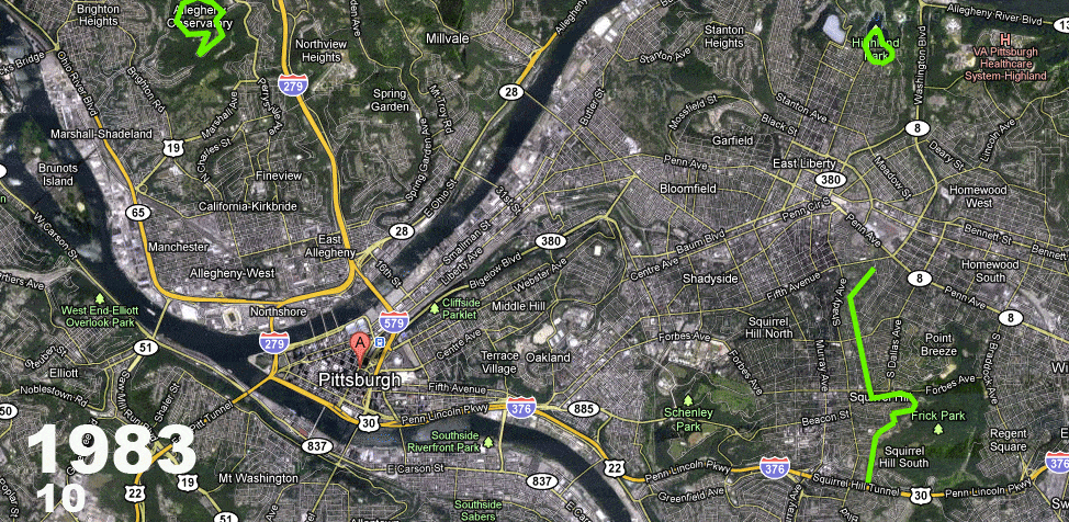
On-road Bicycle Pavement Markings
Allegheny County / City of Pittsburgh / Western PA Regional Data Center —
A mile by mile breakdown of the on-street bicycle pavement markings installed within the City of Pittsburgh. These include bike lanes, shared lane markings... -
Roadway SubBlock
District of Columbia —
SubBlock represent the near-full extent of our centerline network (only driveways are excluded). SubBlock is the finest grained, 'base' segments from which all other... -
State
Protected Areas Exclusion (Solar)
State of California —
The geospatial data reflected in the protected area layer mostly pertain to natural and wilderness areas where development of utility-scale renewable energy is... -
County
County Trails
Fairfax County, Virginia —
Park Authority maintained trails within Fairfax County. -
Federal
BLM Idaho Greater SageGrouse Final EIS WAFWA Poly
Department of the Interior —
This data set depicts a preliminary version of the management zone boundaries for Greater and Gunnison sage-grouse in the western United States and Canada. These... -
Federal
BLM OR Culverts Point Hub
Department of the Interior —
CULVERTS_PUB_PT: This dataset defines attributes for major and minor culvert structures. According to BLM Manual 9100, a culvert is “a conduit or passageway, not... -
Federal
BLM AK Easement 17(b) Point
Department of the Interior —
The ANCSA 17(b) Easement dataset represents spatial location and basic information about 17(b) easements within the state of Alaska. ANCSA 17(b) easements are rights... -
Federal
BLM AK Easement 17(b) Line
Department of the Interior —
The ANCSA 17(b) Easement dataset represents spatial location and basic information about 17(b) easements within the state of Alaska. ANCSA 17(b) easements are rights... -
Federal
BLM ID Ground Transportation Linear Features
Department of the Interior —
Formerly published as TRANS_NOC_GTLF_PUB_UNK_LINE This standard houses linear features on BLM lands as well as transportation features that provide access to BLM... -
Federal
BLM WY NLCS National Scenic and Historic Trails
Department of the Interior —
This polyline feature class represents the BLM National Landscape Conservation System (NLCS) National Scenic and Historic Trails within the BLM Administrative State... -
Federal
BLM Colorado Electric Mountain Bikes Allowed Routes
Department of the Interior —
BLM Colorado Roads and Trails on BLM managed lands. This data uses the national BLM Ground Transportation Linear Features (GTLF) standard allowing for the capture of...
77 datasets found for "Trails"