
-
Federal
Forest Inventories at Burned and Unburned Tropical Forest Sites, Acre, Brazil, 2014
National Aeronautics and Space Administration —
This dataset provides measurements for diameter at breast height (DBH) and species identification of trees for inventories taken at five tropical forest sites in Acre... -
Federal
LBA-ECO LC-07 Wetland Extent, Vegetation, and Inundation: Lowland Amazon Basin
National Aeronautics and Space Administration —
This data set provides a map of wetland extent, vegetation type, and dual-season flooding state of the entire lowland Amazon basin. As described in Hess et al.... -
Federal
LBA-ECO ND-01 Landsat 28.5-m Land Cover Time Series, Rondonia, Brazil: 1984-2010
National Aeronautics and Space Administration —
This data set provides a 27-year land cover time series of 28.5-m resolution products derived from Landsat images for 80% of Rondonia, Brazil, for the period 1984 to... -
Federal
Landsat-based Phenology and Tree Ring Characterization, Eastern US Forests, 1984-2013
National Aeronautics and Space Administration —
This data set provides a 30-year record of Landsat TM and ETM+ derived forest phenology and the results of tree ring analyses for annual wood production and nitrogen... -
Federal
LBA-ECO ND-02 Stream Water Chemistry, Paragominas, Para, Brazil: 1999-2005
National Aeronautics and Space Administration —
This data set includes measurements of dissolved nutrient and organic carbon concentrations, as well as dissolved oxygen, alkalinity, conductivity, turbidity, pH, and... -
Federal
BOREAS HYD-04 Areal Snow Course Survey Data
National Aeronautics and Space Administration —
The BOREAS HYD-04 work was focused on collecting data during the winter field campaign (FFC-W) to improve the understanding of winter processes within the boreal... -
Federal
BOREAS HYD-04 Standard Snow Course Data
National Aeronautics and Space Administration —
The BOREAS HYD-04 work was focused on collecting data during the winter field campaign (FFC-W) to improve the understanding of winter processes within the boreal... -
Federal
BOREAS RSS-17 Xylem Flux Density Measurements at the SSA-OBS Site
National Aeronautics and Space Administration —
As part of its efforts to determine environmental and phenological states from radar imagery, the BOREAS RSS-17 team collected in situ tree xylem flow measurements... -
Federal
NOAA/WDS Paleoclimatology - Margolis fire data from Twin Cabins plot 2, northern New Mexico - IMPD USTWC002
National Oceanic and Atmospheric Administration, Department of Commerce —
This archived Paleoclimatology Study is available from the NOAA National Centers for Environmental Information (NCEI), under the World Data Service (WDS) for... -
Federal
NACP Aboveground Biomass and Carbon Baseline Data, V.2 (NBCD 2000), U.S.A., 2000
National Aeronautics and Space Administration —
The NBCD 2000 (National Biomass and Carbon Dataset for the Year 2000) data set provides a high-resolution (30 m) map of year-2000 baseline estimates of basal area-... -
Federal
NOAA/WDS Paleoclimatology - Baisan fire data from Giant Forest Pines - IMPD USGFP001
National Oceanic and Atmospheric Administration, Department of Commerce —
This archived Paleoclimatology Study is available from the NOAA National Centers for Environmental Information (NCEI), under the World Data Service (WDS) for... -
Federal
LUH2-ISIMIP2b Harmonized Global Land Use for the Years 2015-2100
National Aeronautics and Space Administration —
This dataset provides 0.25-degree gridded, global, annual estimates of fractional land use and land cover patterns for the period 2015-2100, designed to support the... -
Federal
NOAA/WDS Paleoclimatology - Heyerdahl fire data from East Tavaputs Plateau - IMPD USTVP001
National Oceanic and Atmospheric Administration, Department of Commerce —
This archived Paleoclimatology Study is available from the NOAA National Centers for Environmental Information (NCEI), under the World Data Service (WDS) for... -
Federal
LiDAR Derived Biomass, Canopy Height, and Cover for New England Region, USA, 2015
National Aeronautics and Space Administration —
This dataset provides 30 m gridded estimates of aboveground biomass density (AGBD), forest canopy height, and tree canopy coverage for the New England Region of the... -
Federal
NOAA/WDS Paleoclimatology - Margolis fire data from Rowe Mesa southcentral, northern New Mexico - IMPD USROW007
National Oceanic and Atmospheric Administration, Department of Commerce —
This archived Paleoclimatology Study is available from the NOAA National Centers for Environmental Information (NCEI), under the World Data Service (WDS) for... -
Federal
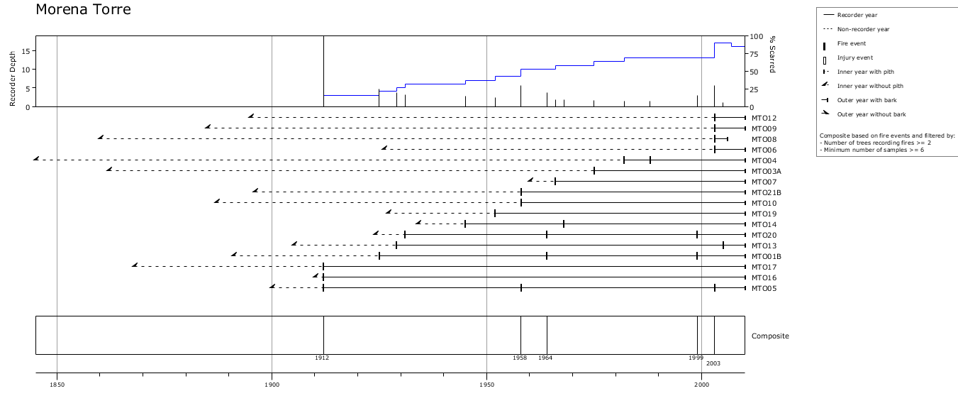
NOAA/WDS Paleoclimatology - Mundo fire data from Morena Torre, Patagonia - IMPD ARMTO001
National Oceanic and Atmospheric Administration, Department of Commerce —
This archived Paleoclimatology Study is available from the NOAA National Centers for Environmental Information (NCEI), under the World Data Service (WDS) for... -
Federal
NOAA/WDS Paleoclimatology - Heyerdahl fire data from Bear River Range - IMPD USWCH001
National Oceanic and Atmospheric Administration, Department of Commerce —
This archived Paleoclimatology Study is available from the NOAA National Centers for Environmental Information (NCEI), under the World Data Service (WDS) for... -
Federal
NOAA/WDS Paleoclimatology - Margolis fire data from Redondo Border South plot 3 , northern New Mexico - IMPD USRBS003
National Oceanic and Atmospheric Administration, Department of Commerce —
This archived Paleoclimatology Study is available from the NOAA National Centers for Environmental Information (NCEI), under the World Data Service (WDS) for... -
Federal
NOAA/WDS Paleoclimatology - Olson fire data from Baker Riparian, Blue Mountains, Oregon - IMPD USBAK001
National Oceanic and Atmospheric Administration, Department of Commerce —
This archived Paleoclimatology Study is available from the NOAA National Centers for Environmental Information (NCEI), under the World Data Service (WDS) for... -
Federal
NOAA/WDS Paleoclimatology - Heyerdahl fire data from Ray Mesa - IMPD USRAY001
National Oceanic and Atmospheric Administration, Department of Commerce —
This archived Paleoclimatology Study is available from the NOAA National Centers for Environmental Information (NCEI), under the World Data Service (WDS) for...

Official websites use .gov
A
.gov website belongs to an official government
organization in the United States.
Secure .gov websites use HTTPS
A
lock (
) or https:// means you’ve safely connected to
the .gov website. Share sensitive information only on official,
secure websites.