
-
Federal
CAR LEADEX Arctic Sea Ice and Tundra Radiation Measurements L1 V1 (CAR_LEADEX_L1C) at GES DISC
National Aeronautics and Space Administration —
CAR LEADEX mission measured bidirectional reflectance functions for four common arctic surfaces: snow covered sea ice, melt season sea ice, snow covered tundra, and... -
Federal
SARP 2012 Data
National Aeronautics and Space Administration —
SARP_2012_Data is the data collected onboard the NASA P-3B aircraft during the 2012 deployment of the Student Airborne Research Program (SARP) mission. Data... -
Federal
CAR INTEXB BRDF Measurements L1 V2 (CAR_INTEXB_BRDF) at GES DISC
National Aeronautics and Space Administration —
INTEX-B (Intercontinental Chemical Transport Experiment-Phase B) focuses on the long-range transport of pollution, global atmospheric photochemistry, and the effects... -
Federal
BOREAS TF-10 NSA-YJP Tower Flux, Meteorological, and Porometry Data
National Aeronautics and Space Administration —
The BOREAS TF-10 team collected tower flux and meteorological data at two sites, a fen and a young jack pine forest, near Thompson, Manitoba, Canada, as part of... -
Vehicle Detection System
District of Columbia —
The dataset contains locations and attributes of Vehicle Detection Systems, created from a database provided by the District Department of Transportation. -
Federal
CARICOOS Buoy PR2 (San Juan, PR): Wave Data
National Oceanic and Atmospheric Administration, Department of Commerce —
CARICOOS real-time buoy observations near Puerto Rico and the U.S. Virgin Islands at PR2 - CarICOOS Data Buoy B, located at 18d 28.548m N, 66d 5.970m Wl, North side... -
Federal
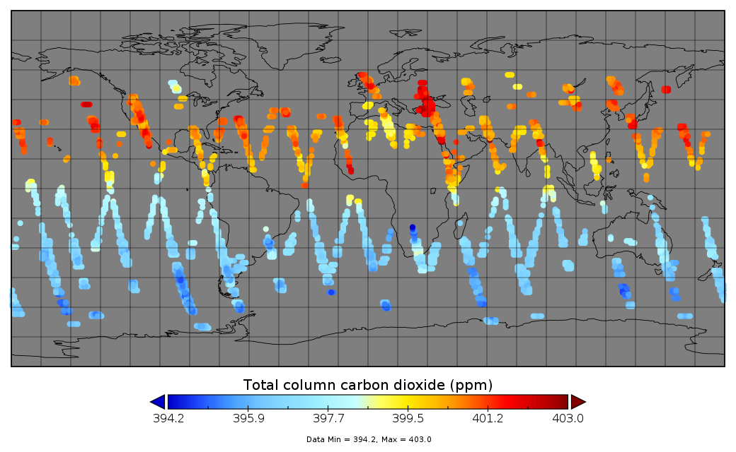
OCO-2 Level 2 bias-corrected XCO2 and other select fields from the full-physics retrieval aggregated as daily files, Retrospective processing V11.1r (OCO2_L2_Lite_FP) at GES DISC
National Aeronautics and Space Administration —
Version 11r is the current version of the data set. Older versions will no longer be available and are superseded by Version 11r. The OCO-2 Lite files contain bias-... -
Federal
Multi-Instrument Fused bias-corrected XCO2 and other select fields aggregated as Level 4 daily files V3 (MultiInstrumentFusedXCO2)
National Aeronautics and Space Administration —
Gridded carbon dioxide mole fraction (XCO2) and other select variables created by applying local kriging (also known as optimal interpolation) to daily aggregates of... -
Federal
KORUS-AQ Miscellaneous Data
National Aeronautics and Space Administration —
KORUSAQ_Miscellaneous_Data are miscellaneous ancillary files collected during the KORUS-AQ field campaign. This product includes data collected onboard the UMD Cessna... -
Federal
Aircraft Flux-Filtered: U of Wy. (FIFE)
National Aeronautics and Space Administration —
The University of Wyoming (UW) King Air atmospheric boundary layer measurement missions were flown in 1987 during IFCs 3 and 4. This Boundary Layer Fluxes data set... -
Federal
SEAC4RS Merge Data Files
National Aeronautics and Space Administration —
SEAC4RS_Merge_Data are pre-generated merge data files collected during the Studies of Emissions and Atmospheric Composition, Clouds and Climate Coupling by Regional... -
Federal
GEOS-Carb CASA-GFED 3-hourly Ecosystem Exchange Fluxes 0.5 degree x 0.625 degree V3 (GEOS_CASAGFED_3H_NEE) at GES DISC
National Aeronautics and Space Administration —
This product provides 3 hourly average net ecosystem exchange (NEE) and gross ecosystem exchange (GEE) of Carbon derived from the Carnegie-Ames-Stanford-Approach –... -
Federal
ATom: CO2, CH4, and CO Measurements from Picarro, 2016-2018
National Aeronautics and Space Administration —
This dataset contains atmospheric measurements of CO2, CH4, and CO mixing ratios made with a Picarro G2401 spectrometer during the four ATom campaigns. Picarro G2401... -
Taxi Trips in 2026
District of Columbia —
Taxi trip data provided as a zip file containing pipe (|) delimited text files or csv for trips by month. DFHV provided OCTO with a taxicab trip text file representing... -
Traffic Analysis Zones
District of Columbia —
Traffic Analysis Zones (TAZ) for the COG/TPB Modeled Region from Metropolitan Washington Council of Governments. The TAZ dataset is used to join several types of zone-... -
City
1.08 High Severity Traffic Crashes
City of Tempe —
This page provides information for the High Severity Traffic Crashes performance measure. -
Federal
NARSTO PAC2001 Langley Site Gaseous, Particle, and Meteorological Data
National Aeronautics and Space Administration —
NARSTO_PAC2001_LANGLEY_GAS_PM_MET_DATA was obtained between August 8 and September 2, 2001 during the Pacific 2001 Air Quality Study (PAC2001).The Langley Ecole... -
Federal
DC3 Merge Data Files
National Aeronautics and Space Administration —
DC3_Merge_Data are pre-generated merge data files collected during the Deep Convective Clouds and Chemistry (DC3) field campaign. This product contains merged data... -
Federal
OCO-2 Level 2 bias-corrected XCO2 and other select fields from the full-physics retrieval, Forward processing V11.2 (OCO2_L2_Fwd_FP_11.2)
National Aeronautics and Space Administration —
Version 11.2 is the current version of the data set. The OCO-2 Full-physics Forward processing files contain bias-corrected XCO2 along with other select fields... -
Federal
MOPITT CO gridded daily means (Thermal Infrared Radiances) V009
National Aeronautics and Space Administration —
MOP03T_9 is the Measurements Of Pollution In The Troposphere (MOPITT) Carbon Monoxide (CO) gridded daily means (Thermal Infrared Radiances) version 9 data product. It...

Official websites use .gov
A
.gov website belongs to an official government
organization in the United States.
Secure .gov websites use HTTPS
A
lock (
) or https:// means you’ve safely connected to
the .gov website. Share sensitive information only on official,
secure websites.