
-
Federal
TCSP CLOUD RADAR SYSTEM (CRS) V1
National Aeronautics and Space Administration —
The TCSP Cloud Radar System (CRS) datasets consists of vertically profiled reflectivity and Doppler velocity at aircraft nadir along the flight track. The CRS is a 94... -
Federal
GPM GROUND VALIDATION FLIGHT SUMMARIES AND FLIGHT TRACKS IMAGERY MC3E V1
National Aeronautics and Space Administration —
The GPM Ground Validation Flight Summaries and Flight Tracks Imagery MC3E dataset for the Midlatitude Continental Convective Clouds Experiment (MC3E) provides... -
Federal
GPM GROUND VALIDATION CONICAL SCANNING MILLIMETER-WAVE IMAGING RADIOMETER (COSMIR) IPHEx V1
National Aeronautics and Space Administration —
The GPM Ground Validation Conical Scanning Millimeter-wave Imaging Radiometer (CoSMIR) IPHEx dataset consists of brightness temperatures from 9 channels as measured... -
Federal
GPM GROUND VALIDATION CONICAL SCANNING MILLIMETER-WAVE IMAGING RADIOMETER (COSMIR) GCPEX V1
National Aeronautics and Space Administration —
The GPM Ground Validation Conical Scanning Millimeter-wave Imaging Radiometer (COSMIR) GCPEx dataset used the Conical Scanning Millimeter-wave Imaging Radiometer... -
Federal
CAMEX-3 ANDROS ISLAND RAWINSONDE AND RADIOSONDES V1
National Aeronautics and Space Administration —
In support of CAMEX-3, numerous radiosonde and rawinsondes were launched from Andros Island, which consisted of instruments manufactured by VIS and Vaisala. Some... -
Federal
CAMEX-3 MULTISPECTRAL ATMOSPHERIC MAPPING SENSOR (MAMS) V1
National Aeronautics and Space Administration —
The CAMEX-3 Multispectral Atmospheric Mapping Sensor (MAMS) dataset was collected by the Multispectral Atmospheric Mapping Sensor (MAMS), which is a multispectral... -
Federal
GOES-R PLT Surface Radiance Ivanpah V1
National Aeronautics and Space Administration —
The GOES-R PLT Field Campaign Ivanpah dataset consists of surface reflectance and total optical depth data measured at Ivanpah Playa, Nevada during the GOES-R Post... -
Federal
GPM GROUND VALIDATION CARE SATELLITE OVERPASS IMAGES GCPEX V1
National Aeronautics and Space Administration —
The GPM Ground Validation CARE Satellite Overpass GCPEx Images are the satellite overpass images for the GPM Cold-season Precipitation Experiment (GCPEx), which... -
Federal
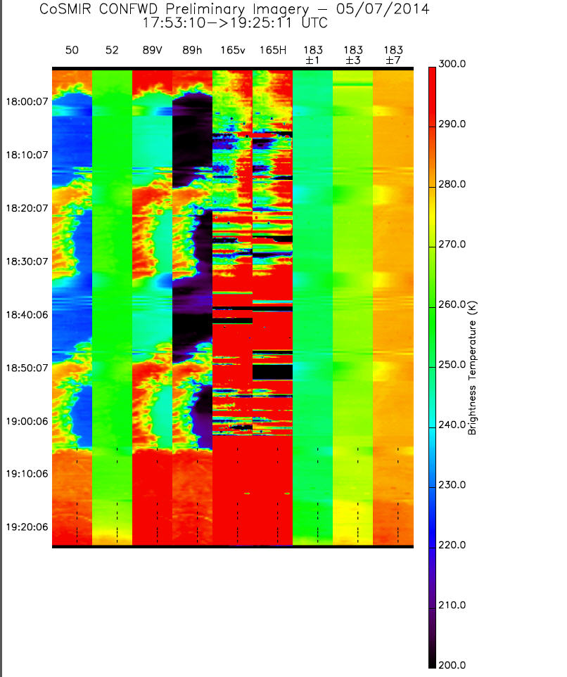
GPM GROUND VALIDATION CONICAL SCANNING MILLIMETER-WAVE IMAGING RADIOMETER (COSMIR) MC3E V1
National Aeronautics and Space Administration —
The GPM Ground Validation Conical Scanning Millimeter-wave Imaging Radiometer (COSMIR) MC3E dataset used the Conical Scanning Millimeter-wave Imaging Radiometer... -
Federal
GOES-R PLT Cloud Radar System (CRS)
National Aeronautics and Space Administration —
The GOES-R PLT Field Campaign Cloud Radar System (CRS) dataset provides high-resolution profiles of reflectivity and Doppler velocity at aircraft nadir along the... -
Federal
HURRICANE AND SEVERE STORM SENTINEL (HS3) FLIGHT REPORTS V1
National Aeronautics and Space Administration —
The Hurricane and Severe Storm Sentinel (HS3) Flight Reports provide information about flights flown by the WB-57 and Global Hawk aircrafts during the Hurricane and... -
Federal
GRIP HURRICANE IMAGING RADIOMETER (HIRAD) V0
National Aeronautics and Space Administration —
The GRIP Hurricane Imaging Radiometer (HIRAD) dataset was collected by the HIRAD instrument, which is a hurricane imaging, single-polarization passive C-band... -
Federal
GOES WATER VAPOR TRANSPORT V1
National Aeronautics and Space Administration —
The GOES Water Vapor Transport CD contains nineteen months of geostationary satellite-derived products from the GOES-8 satellite spanning the 1987-1988 El Nino... -
Federal
Conical Scanning Millimeter-wave Imaging Radiometer (CoSMIR) IMPACTS V1
National Aeronautics and Space Administration —
The Conical Scanning Millimeter-wave Imaging Radiometer (CoSMIR) IMPACTS dataset consists of brightness temperature measurements collected by the Conical Scanning... -
Federal
NAMMA HIGH ALTITUDE MMIC SOUNDING RADIOMETER (HAMSR) V1
National Aeronautics and Space Administration —
The NAMMA High Altitude MMIC Sounding Radiometer (HAMSR) dataset consists of data collected by HAMSR, which is a 25-channel microwave atmospheric sounder operating as... -
Federal
GPM GROUND VALIDATION CLOUD RADAR SYSTEM (CRS) IPHEx V1
National Aeronautics and Space Administration —
The GPM Ground Validation Cloud Radar System (CRS) IPHEx data were collected in support of the Global Precipitation Measurement (GPM) mission Integrated Precipitation... -
Federal
TCSP ER-2 DOPPLER RADAR (EDOP) V1
National Aeronautics and Space Administration —
The TCSP ER-2 DOPPLER RADAR (EDOP) dataset was collected by the ER-2 Doppler radar (EDOP), which is an X-band (9.6 GHz) Doppler radar mounted in the nose of the ER-2...

Official websites use .gov
A
.gov website belongs to an official government
organization in the United States.
Secure .gov websites use HTTPS
A
lock (
) or https:// means you’ve safely connected to
the .gov website. Share sensitive information only on official,
secure websites.