
-
Federal
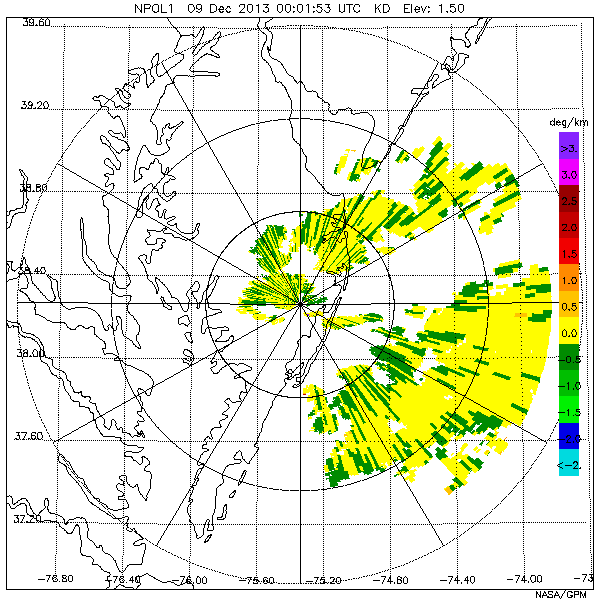
GPM Ground Validation NASA S-Band Dual Polarimetric (NPOL) Doppler Radar Wallops Flight Facility (WFF) V1
National Aeronautics and Space Administration —
The GPM Ground Validation NASA S-Band Dual-Polarimetric (NPOL) Doppler Radar Wallops Flight Facility (WFF) dataset consists of rain rate, reflectivity, Doppler... -
Federal
GOES-R PLT Washington D.C. Lightning Mapping Array (LMA) V1
National Aeronautics and Space Administration —
The GOES-R PLT Washington D.C. Lightning Mapping Array (LMA) dataset consists of total lightning data measured from the Washington D.C. LMA (DCLMA) network during the... -
Federal
GPM GROUND VALIDATION NOAA S-BAND PROFILER RAW DATA SPC FORMAT MC3E V1
National Aeronautics and Space Administration —
The GPM Ground Validation NOAA S-Band Profiler Raw Data SPC Format MC3E dataset is the S-band Profiler Raw dataset was saved in Vaisala SPC format. The numeric values... -
Federal
CAMEX-3 DC-8 NAVIGATION (DADS) DATA V1
National Aeronautics and Space Administration —
The CAMEX-3 DC-8 Navigation Data Acquisition and Distribution System (DADS) data files contain information recorded by navigation and data collection systems onboard... -
Federal
Autonomous Parsivel Unit (APU) IMPACTS V1
National Aeronautics and Space Administration —
The Autonomous Parsivel Unit (APU) IMPACTS data were collected in support of the Investigation of Microphysics and Precipitation for Atlantic Coast-Threatening... -
Federal
High Altitude MMIC Sounding Radiometer (HAMSR) CPEX-CV
National Aeronautics and Space Administration —
The High Altitude MMIC Sounding Radiometer (HAMSR) CPEX-CV dataset includes measurements gathered by the HAMSR instrument during the Convective Processes Experiment –... -
Federal
HURRICANE AND SEVERE STORM SENTINEL (HS3) HIGH-ALTITUDE IMAGING WIND AND RAIN AIRBORNE PROFILER (HIWRAP) V1
National Aeronautics and Space Administration —
The Hurricane and Severe Storm Sentinel (HS3) High-Altitude Imaging Wind and Rain dataset was collected from the High-altitude Imaging Wind and Rain Airborne Profiler... -
Federal
LIS/OTD 0.5 Degree High Resolution Annual Climatology (HRAC) V2.3.2015
National Aeronautics and Space Administration —
The LIS/OTD 0.5 Degree High Resolution Annual Climatology (HRAC) contains a variety of gridded climatologies of total lightning flash rates obtained from two... -
Federal
Mobile UIUC Soundings IMPACTS V1
National Aeronautics and Space Administration —
The Mobile UIUC Soundings IMPACTS dataset consists of atmospheric sounding data collected by rawinsondes launched during the Investigation of Microphysics and... -
Federal
GPM Ground Validation NASA ER-2 Navigation Data OLYMPEX
National Aeronautics and Space Administration —
The GPM Ground Validation NASA ER-2 Navigation Data OLYMPEX dataset supplies navigation data collected by the NASA ER-2 aircraft for flights that occurred during... -
Federal
GPM GROUND VALIDATION HIGH ALTITUDE IMAGING WIND AND RAIN AIRBORNE PROFILER (HIWRAP) IPHEX V1
National Aeronautics and Space Administration —
The GPM Ground Validation High-Altitude Imaging Wind and Rain Airborne Profiler (HIWRAP) IPHEx dataset was collected during the Global Precipitation Measurement (GPM)... -
Federal
GPM GROUND VALIDATION FLIGHT SUMMARIES AND FLIGHT TRACKS IMAGERY MC3E V1
National Aeronautics and Space Administration —
The GPM Ground Validation Flight Summaries and Flight Tracks Imagery MC3E dataset for the Midlatitude Continental Convective Clouds Experiment (MC3E) provides... -
Federal
GPM Ground Validation C-band Kerava (KER) Radar LPVEx V1
National Aeronautics and Space Administration —
The GPM Ground Validation C-Band Radar LPVEx datasets include radar reflectivity data from the Kerava (KER) dual-polarimetric C-Band Doppler radar in Finland during... -
Federal
REGIONAL AIR-SEA INTERACTION (RASI) GAP WIND AND COASTAL UPWELLING EVENTS CLIMATOLOGY GULF OF PAPAGAYO, COSTA RICA V1
National Aeronautics and Space Administration —
The Regional Air-Sea Interactions (RASI) Gap Wind and Coastal Upwelling Events Climatology Gulf of Papagayo, Costa Rica dataset was created using an automated... -
Federal
RSS SSM/I OCEAN PRODUCT GRIDS WEEKLY AVERAGE FROM DMSP F15 NETCDF V7
National Aeronautics and Space Administration —
The RSS SSM/I Ocean Product Grids Weekly Average from DMSP F15 netCDF dataset is part of the collection of Special Sensor Microwave/Imager (SSM/I) and Special Sensor... -
Federal
TRMM Brazil ER-2 DOPPLER RADAR (EDOP) V1
National Aeronautics and Space Administration —
TRMM Brazil ER-2 DOPPLER RADAR (EDOP) V1

Official websites use .gov
A
.gov website belongs to an official government
organization in the United States.
Secure .gov websites use HTTPS
A
lock (
) or https:// means you’ve safely connected to
the .gov website. Share sensitive information only on official,
secure websites.