
-
Federal
Shoreline Data Rescue Project of Harlem River, NY, NY1886B NGDA recent views
National Oceanic and Atmospheric Administration, Department of Commerce —
These data were automated to provide an accurate high-resolution historical shoreline of Harlem River, NY suitable as a geographic information system (GIS) data... -
Federal
Coastal Mapping Program of Port of South Louisiana, LA, LA2211-CS-T NGDA recent views
National Oceanic and Atmospheric Administration, Department of Commerce —
These data provide an accurate high-resolution shoreline compiled from imagery of Port of South Louisiana, LA . This vector shoreline data is based on an office... -
Federal
Shoreline Data Rescue Project of Port Eads, Louisiana, LA28B07 NGDA recent views
National Oceanic and Atmospheric Administration, Department of Commerce —
These data were automated to provide an accurate high-resolution historical shoreline of Port Eads, Louisiana suitable as a geographic information system (GIS) data... -
Federal
Coastal Mapping Program of Timbalier Island to Grand Isle, LA, LA2206S-CM-C NGDA recent views
National Oceanic and Atmospheric Administration, Department of Commerce —
These data provide an accurate high-resolution shoreline compiled from imagery of Timbalier Island to Grand Isle, LA . This vector shoreline data is based on an... -
Federal
Coastal Mapping Program of Port of Fall River, MA, MA2202-CS-T NGDA recent views
National Oceanic and Atmospheric Administration, Department of Commerce —
These data provide an accurate high-resolution shoreline compiled from imagery of Port of Fall River, MA . This vector shoreline data is based on an office... -
Federal
Coastal Mapping Program of Port of Reedville, VA, VA2102-CS-N NGDA recent views
National Oceanic and Atmospheric Administration, Department of Commerce —
These data provide an accurate high-resolution shoreline compiled from imagery of Port of Reedville, VA . This vector shoreline data is based on an office... -
Federal
Coastal Mapping Program of Port Angeles, WA, WA2203-CS-T NGDA recent views
National Oceanic and Atmospheric Administration, Department of Commerce —
These data provide an accurate high-resolution shoreline compiled from imagery of Port Angeles, WA . This vector shoreline data is based on an office interpretation... -
Federal
Coastal Mapping Program of New Haven, CT, CT2102-CS-N NGDA recent views
National Oceanic and Atmospheric Administration, Department of Commerce —
These data provide an accurate high-resolution shoreline compiled from imagery of New Haven, CT . This vector shoreline data is based on an office interpretation of... -
Federal
Coastal Mapping Program of Port of Bangor, WA, WA2208-CS-T NGDA recent views
National Oceanic and Atmospheric Administration, Department of Commerce —
These data provide an accurate high-resolution shoreline compiled from imagery of Port of Bangor, WA . This vector shoreline data is based on an office interpretation... -
Federal
Coastal Mapping Program of Port of Jacksonville/Mayport, FL, FL2309-CS-N NGDA recent views
National Oceanic and Atmospheric Administration, Department of Commerce —
These data provide an accurate high-resolution shoreline compiled from imagery of Port of Jacksonville/Mayport, FL . This vector shoreline data is based on an office... -
Federal
Shoreline Data Rescue Project of Mound Point, LA, LA110C03 NGDA recent views
National Oceanic and Atmospheric Administration, Department of Commerce —
These data were automated to provide an accurate high-resolution historical shoreline of Mound Point, LA suitable as a geographic information system (GIS) data layer.... -
Federal
Shoreline Mapping Program of MADAKET HARBOR, MA, MA0802 NGDA recent views
National Oceanic and Atmospheric Administration, Department of Commerce —
These data provide an accurate high-resolution shoreline compiled from imagery of MADAKET HARBOR, MA . This vector shoreline data is based on an office interpretation... -
Federal
Shoreline Mapping Program of Port of Ketchikan, AK, AK2004-CS-C NGDA recent views
National Oceanic and Atmospheric Administration, Department of Commerce —
These data provide an accurate high-resolution shoreline compiled from imagery of Port of Ketchikan, AK . This vector shoreline data is based on an office... -
Federal
2021 NOAA NGS 4 band Ortho-rectified Mosaic of Revilla, AK recent views
National Oceanic and Atmospheric Administration, Department of Commerce —
This data set contains ortho-rectified mosaic tiles, created as a product from the NOAA Integrated Ocean and Coastal Mapping (IOCM) initiative. The source imagery was... -
Federal
Shoreline Data Rescue Project of Wilmington River to Cherry Point Landing, SC, SC1934C NGDA recent views
National Oceanic and Atmospheric Administration, Department of Commerce —
These data were automated to provide an accurate high-resolution historical shoreline of Wilmington River to Cherry Point Landing, SC suitable as a geographic... -
Federal
GOM TRACS 11-16-2016 1000 feet recent views
National Oceanic and Atmospheric Administration, Department of Commerce —
These data were collected as part of the National Oceanic and Atmosphericâs (NOAA) DWH Lessons Learned Studies: Detection of Oil Thickness and Emulsion Mixtures... -
Federal
2011 NOAA Ortho-rectified Mosaic of Casco Bay, Maine recent views
National Oceanic and Atmospheric Administration, Department of Commerce —
This data set contains ortho-rectified mosaic tiles, created as a product from the NOAA Integrated Ocean and Coastal Mapping (IOCM) initiative. The source imagery was... -
Federal
Wind Energy: Bans or Moratoriums (2022) recent views
Department of Energy —
This dataset identifies counties and municipalities that had a wind energy ban or moratorium as of April 2022. A TIF data file and a PNG map of the data are provided,... -
Federal
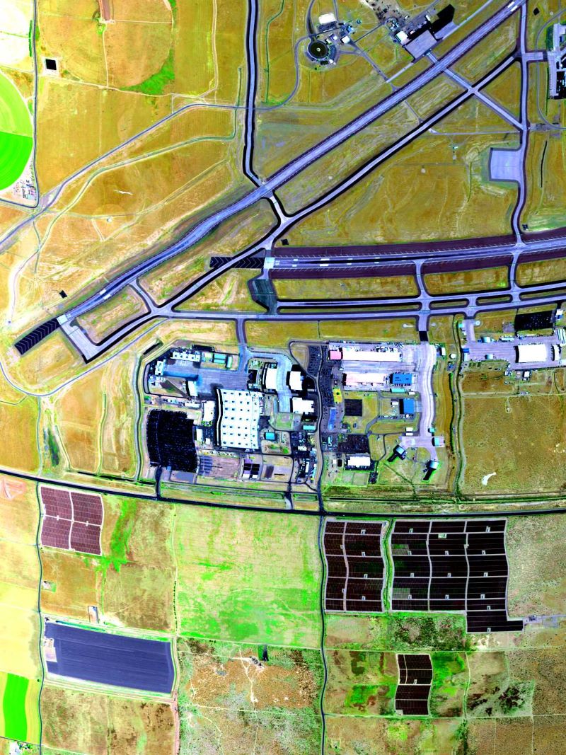
AVIRIS-3 L1B Calibrated Radiance, Facility Instrument Collection recent views
National Aeronautics and Space Administration —
This dataset contains Level 1B (L1B) calibrated radiance images as well as observational geometry and illumination parameters from the Airborne Visible / Infrared... -
Federal
ABoVE: Seasonal Dissolved Gases and Isotopes in Arctic Alaska Rivers recent views
National Aeronautics and Space Administration —
This dataset provides dissolved carbon dioxide (CO2) and methane (CH4) concentrations alongside their stable and radiocarbon isotopic compositions within the Arctic...

Official websites use .gov
A
.gov website belongs to an official government
organization in the United States.
Secure .gov websites use HTTPS
A
lock (
) or https:// means you’ve safely connected to
the .gov website. Share sensitive information only on official,
secure websites.