
-
Federal
Olympic Coast National Marine Sanctuary - hab120_0602a - Habitat polygons for HMPR-120-2006-02a survey recent views
National Oceanic and Atmospheric Administration, Department of Commerce —
Benthic habitat polygon coverages are being created for the Olympic Coast National Marine Sanctuary (OCNMS). OCNMS has collected side scan sonar, multibeam... -
Federal
hab113_0401q -- Habitat polygons for HMPR-113-2004-01q survey in Olympic Coast national marine sanctuary. recent views
National Oceanic and Atmospheric Administration, Department of Commerce —
Benthic habitat polygon coverages are being created for the Olympic Coast national marine sanctuary (OCNMS).ROV, towed camera sled, bathymetry data, sedimentary... -
Federal
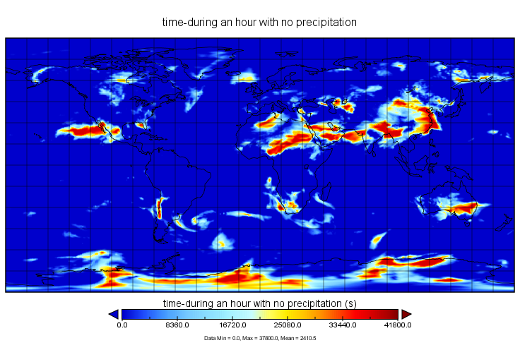
MERRA-2 statD_2d_slv_Nx: 2d,Daily,Aggregated Statistics,Single-Level,Assimilation,Single-Level Diagnostics 0.625 x 0.5 degree V5.12.4 (M2SDNXSLV) at GES DISC recent views
National Aeronautics and Space Administration —
M2SDNXSLV (or statD_2d_slv_Nx) is a 2-dimensional daily data collection in Modern-Era Retrospective analysis for Research and Applications version 2 (MERRA-2). This... -
Crash Details Table recent views
District of Columbia —
A companion table for the Crashes in DC layer. This is a related table linked by field attribution, CRASHID. These crash data are derived from the Metropolitan Police... -
Federal
PR100: Puerto Rico Grid Resilience and Transition to 100% Renewable Energy recent views
Department of Energy —
The Puerto Rico Grid Resilience and Transitions to 100% Renewable Energy Study (PR100) comprehensively analyzes possible pathways for Puerto Rico to achieve its... -
University
New Mexico Quarter Quad Index recent views
Earth Data Analysis Center, University of New Mexico —
This dataset shows the quarter-quadrangles for the State of New Mexico. This shapefile is based on the 7.5 minute Index map. -
Federal
Multibeam collection for PC1801L4: Multibeam data collected aboard NOAA Ship PISCES (R226) from 21-Apr-18 to 06-May-18, Tampa, Florida to Mayport, Florida recent views
National Oceanic and Atmospheric Administration, Department of Commerce —
This data set is part of a larger set of data called the Multibeam Bathymetry Database (MBBDB) where other similar data can be found -
Federal
BLM NM Fire Initial Attack Zones recent views
Department of the Interior —
Initial Attack operations are the actions taken by the first units to arrive at a wildfire to protect lives and property, and prevent further extension of the fire.... -
Federal
Shoreline Data Rescue Project of Bay Area of CA, Golden Gate Entrance, CA, CA37B10 NGDA recent views
National Oceanic and Atmospheric Administration, Department of Commerce —
These data were automated to provide an accurate high-resolution historical shoreline of Bay Area of CA, Golden Gate Entrance, CA suitable as a geographic information... -
Federal
Shoreline Data Rescue Project of Monterey Bay to Point Sur, CA, CA36A04 NGDA recent views
National Oceanic and Atmospheric Administration, Department of Commerce —
These data were automated to provide an accurate high-resolution historical shoreline of Monterey Bay to Point Sur, CA suitable as a geographic information system... -
Federal
Shoreline Mapping Program of FORT MATANZAS TO PELLICER CREEK, FL, FL1406 NGDA recent views
National Oceanic and Atmospheric Administration, Department of Commerce —
These data provide an accurate high-resolution shoreline compiled from imagery of FORT MATANZAS TO PELLICER CREEK, FL . This vector shoreline data is based on an... -
Federal
Shoreline Data Rescue Project of Vicinity of Sitka Sound, Alaska, PH49 NGDA recent views
National Oceanic and Atmospheric Administration, Department of Commerce —
These data were automated to provide an accurate high-resolution historical shoreline of Vicinity of Sitka Sound, Alaska suitable as a geographic information system... -
Federal
Shoreline Data Rescue Project of Cape Henry - Lynnhaven Bay to Virginia Beach, Virginia, PH6209 NGDA recent views
National Oceanic and Atmospheric Administration, Department of Commerce —
These data were automated to provide an accurate high-resolution historical shoreline of Cape Henry - Lynnhaven Bay to Virginia Beach, Virginia suitable as a... -
Federal
Shoreline Mapping Program of PORTS OF BREMERTON AND MANCHESTER, WA, WA0702 NGDA recent views
National Oceanic and Atmospheric Administration, Department of Commerce —
These data provide an accurate high-resolution shoreline compiled from imagery of PORTS OF BREMERTON AND MANCHESTER, WA . This vector shoreline data is based on an... -
Federal
Shoreline Mapping Program of Fort Pierce Harbor, FL, FL1707-CM-T NGDA recent views
National Oceanic and Atmospheric Administration, Department of Commerce —
These data provide an accurate high-resolution shoreline compiled from imagery of Fort Pierce Harbor, FL . This vector shoreline data is based on an office... -
Federal
Shoreline Mapping Program of BROWNSVILLE SHIP CHANNEL, PORT ISABEL TO BROWNSVILLE, TX, TX1102-CS-N NGDA recent views
National Oceanic and Atmospheric Administration, Department of Commerce —
These data provide an accurate high-resolution shoreline compiled from imagery of BROWNSVILLE SHIP CHANNEL, PORT ISABEL TO BROWNSVILLE, TX . This vector shoreline... -
Federal
Shoreline Data Rescue Project of St. Marys Entrance to St. Augustine Inlet, CM-7306 NGDA recent views
National Oceanic and Atmospheric Administration, Department of Commerce —
These data were automated to provide an accurate high-resolution historical shoreline of St. Marys Entrance to St. Augustine Inlet suitable as a geographic... -
Federal
Shoreline Data Rescue Project of Muscongus Sound, ME, ME1943B NGDA recent views
National Oceanic and Atmospheric Administration, Department of Commerce —
These data were automated to provide an accurate high-resolution historical shoreline of Muscongus Sound, ME suitable as a geographic information system (GIS) data... -
Federal
Shoreline Data Rescue Project of Long Island, NY, EC4D03 NGDA recent views
National Oceanic and Atmospheric Administration, Department of Commerce —
These data were automated to provide an accurate high-resolution historical shoreline of Long Island, NY suitable as a geographic information system (GIS) data layer.... -
Federal
Shoreline Data Rescue Project of South Bay to Bellport Bay, NY, NY1914A NGDA recent views
National Oceanic and Atmospheric Administration, Department of Commerce —
These data were automated to provide an accurate high-resolution historical shoreline of South Bay to Bellport Bay, NY suitable as a geographic information system...

Official websites use .gov
A
.gov website belongs to an official government
organization in the United States.
Secure .gov websites use HTTPS
A
lock (
) or https:// means you’ve safely connected to
the .gov website. Share sensitive information only on official,
secure websites.