

346 datasets found for "89r텔레그램RADARDB@➧)토토DB@^❤️"
-
Federal
M'Closkey Plot_Coordinates
Department of the Interior —
Heteromyid rodent plots and coordinates -
Federal
NSCAT Level 2 Ocean Wind Vector Geophysical Data Record
National Aeronautics and Space Administration —
The NASA Scatterometer (NSCAT) Level 2 ocean wind vectors in 50 km wind vector cell (WVC) swaths contain daily data from ascending and descending passes. Wind vectors... -
Federal
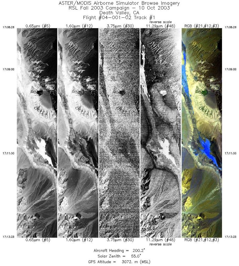
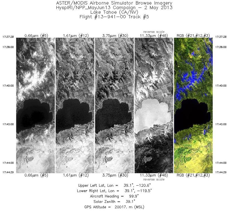
MASTER: Geological fault mapping, California-Nevada, October, 2003
National Aeronautics and Space Administration —
This dataset includes Level 1B (L1B) data products from the MODIS/ASTER Airborne Simulator (MASTER) instrument. The spectral data were collected during six flights... -
Federal
GHRSST Level 2P Global Sea Surface Skin Temperature from the Moderate Resolution Imaging Spectroradiometer (MODIS) on the NASA Terra satellite (GDS2)
National Aeronautics and Space Administration —
NASA produces skin sea surface temperature (SST) products from the Infrared (IR) channels of the Moderate-resolution Imaging Spectroradiometer (MODIS) onboard the... -
Federal
VIIRS/NPP Vegetation Indices 16-Day L3 Global 0.05Deg CMG V002
National Aeronautics and Space Administration —
The NASA/NOAA Suomi National Polar-orbiting Partnership (Suomi NPP) Visible Infrared Imaging Radiometer Suite (VIIRS) Vegetation Indices (VNP13C1) Version 2 data... -
Federal
MASTER: Western Diversity Time Series Campaign, WDTS, California, USA, Fall 2020
National Aeronautics and Space Administration —
This dataset includes Level 1B (L1B) and Level 2 (L2) data products from the MODIS/ASTER Airborne Simulator (MASTER) instrument. The spectral data were collected as...
346 datasets found for "89r텔레그램RADARDB@➧)토토DB@^❤️"