

3,090 datasets found for "{Win4Slot}jackpot big rewards[win4.cloud]"
-
Federal
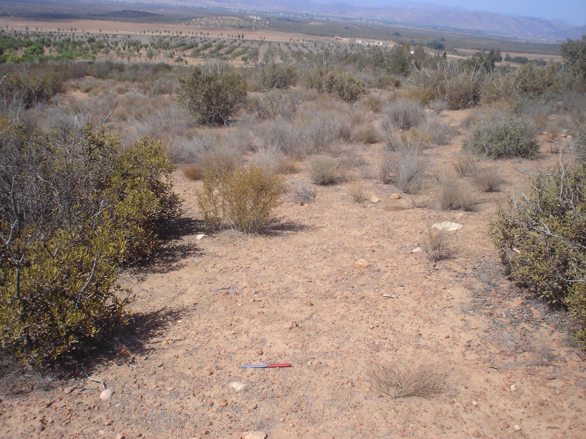
CMS: Soil CO2 Efflux and Properties, Site Vegetation Measurements, Mexico, 2011-2012
National Aeronautics and Space Administration —
This data set provides the results of (1) monthly measurements of soil CO2 efflux, volumetric water content, and temperature, and (2) seasonal measurements of soil... -
Federal
CAR ARCTAS Arctic Research of the Composition of the Troposphere from Aircraft and Satellites L1 V1 (CAR_ARCTAS_L1C) at GES DISC
National Aeronautics and Space Administration —
ARCTAS focuses on advancing understanding of the factors driving current changes in the Arctic region including transport of mid-latitude pollution, boreal forest... -
Federal
QuikSCAT Level 2B Ocean Wind Vectors in 12.5km Slice Composites Version 3
National Aeronautics and Space Administration —
This dataset contains the latest reprocessed version 3 of the Level 2B science-quality ocean surface wind vector retrievals from the QuikSCAT scatterometer. The... -
Federal
GHRSST Level 3U Global Subskin Sea Surface Temperature from TMI onboard TRMM satellite
National Aeronautics and Space Administration —
The Tropical Rainfall Measuring Mission (TRMM) Microwave Imager (TMI) is a well calibrated passive microwave radiometer, similar to the Special Sensor Microwave... -
Federal
Aquarius Official Release Level 3 Rain-flagged Sea Surface Salinity Standard Mapped Image Descending Annual Data V5.0
National Aeronautics and Space Administration —
Aquarius Level 3 sea surface salinity (SSS) rain-flagged standard mapped image data contains gridded 1 degree spatial resolution SSS averaged over daily, 7 day,... -
Federal
Aquarius Official Release Level 3 Sea Surface Salinity Standard Mapped Image Ascending Mission Cumulative Data V5.0
National Aeronautics and Space Administration —
Aquarius Level 3 sea surface salinity (SSS) standard mapped image data contains gridded 1 degree spatial resolution SSS averaged over daily, 7 day, monthly, and... -
Federal
Aquarius Official Release Level 3 Ancillary Reynolds Sea Surface Temperature Standard Mapped Image Ascending Mission Cumulative Data V5.0
National Aeronautics and Space Administration —
Aquarius Level 3 ancillary sea surface temperature (SST) standard mapped image data are the ancillary SST data used in the Aquarius calibration for salinity... -
Federal
Aquarius Official Release Level 3 Wind Speed Standard Mapped Image 7-Day Data V5.0
National Aeronautics and Space Administration —
Aquarius Level 3 ocean surface wind speed standard mapped image data contains gridded 1 degree spatial resolution wind speed data averaged over daily, 7 day, monthly,... -
Federal
TES/Aura L2 Summary Profiles V008
National Aeronautics and Space Administration —
TL2SUM_8 is the Tropospheric Emission Spectrometer (TES)/Aura Level 2 Summary Profiles Version 8 data product. It contains atmospheric vertical profile estimates,... -
Federal
Data for manuscript: Scalable and Robust Beam Shaping Using Apodized Fish-bone Grating Couplers
Department of Commerce —
Experimental and modeling data for manuscript "Scalable and Robust Beam Shaping Using Apodized Fish-bone Grating Couplers" by Chad Ropp, Dhriti Maurya, Alexander...
3,090 datasets found for "{Win4Slot}jackpot big rewards[win4.cloud]"