

284 datasets found
-
Federal
Central American Vegetation/Land Cover Classification and Conservation Status
National Aeronautics and Space Administration —
The Central American Vegetation/Land Cover Classification and Conservation Status consists of GIS coverages of vegetation classes (forests, woodlands, savannas,... -
Federal
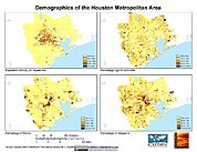
U.S. Population Grids (Summary File 1), 2000: Houston Metropolitan Statistical Area, Alpha Version
National Aeronautics and Space Administration —
The U.S. Population Grids (Summary File 1), 2000: Houston Metropolitan Statistical Area, Alpha Version data set contains an ARC/INFO Workspace with grids of... -
Federal
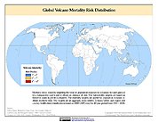
Global Volcano Mortality Risks and Distribution
National Aeronautics and Space Administration —
Global Volcano Mortality Risks and Distribution is a 2.5 minute grid representing global volcano mortality risks. The data set was constructed using historical... -
Federal
China Dimensions Data Collection: Priority Programme for China's Agenda 21
National Aeronautics and Space Administration —
The Priority Programme for China's Agenda 21 consists of full-text program descriptions supporting China's economic and social development. The descriptions represent...
284 datasets found