

273 datasets found for "帝国cms7.5优化版文库源码PPT文档付费下载站整站模板/同步生成/itag/百度推送/sitem✅项目合作 二开均可 TG:saolei44✅.LJNMNUhwwZOZs"
-
Federal
ABoVE: Distribution Maps of Wildland Fire Fuel Components across Alaskan Tundra, 2015
National Aeronautics and Space Administration —
This dataset provides maps of the distribution of three major wildland fire fuel types at 30 m spatial resolution covering the Alaskan arctic tundra, circa 2015. The... -
Federal
ABoVE: Soil Active Layer Thaw Depths at CRREL sites near Fairbanks, Alaska, 2014-2018
National Aeronautics and Space Administration —
This dataset provides soil active layer thaw depth measurements collected along transects at three sites near Fairbanks, Alaska, USA. Measurements were made during... -
Federal
ATom: GEOS-5 Derived Meteorological Conditions and Tagged Tracers Along Flight Tracks
National Aeronautics and Space Administration —
This dataset provides modeled meteorological conditions and tagged-CO tracer concentrations along ATom flight paths derived from the Goddard Earth Observing System... -
Federal
Aquarius Official Release Level 3 Rain-flagged Sea Surface Salinity Standard Mapped Image Ascending Monthly Data V5.0
National Aeronautics and Space Administration —
Aquarius Level 3 sea surface salinity (SSS) rain-flagged standard mapped image data contains gridded 1 degree spatial resolution SSS averaged over daily, 7 day,... -
Federal
Aquarius Official Release Level 3 Wind Speed Standard Mapped Image Ascending Monthly Climatology Data V5.0
National Aeronautics and Space Administration —
Aquarius Level 3 ocean surface wind speed standard mapped image data contains gridded 1 degree spatial resolution wind speed data averaged over daily, 7 day, monthly,... -
Federal
ATom: L2 In Situ Peroxyacetyl Nitrate (PAN) Measurements from Georgia Tech CIMS
National Aeronautics and Space Administration —
This dataset provides measurements of two important components of photochemical smog - peroxyacetyl nitrate (PAN) and peroxyl propionyl nitrate (PPN)- measured by the... -
Federal
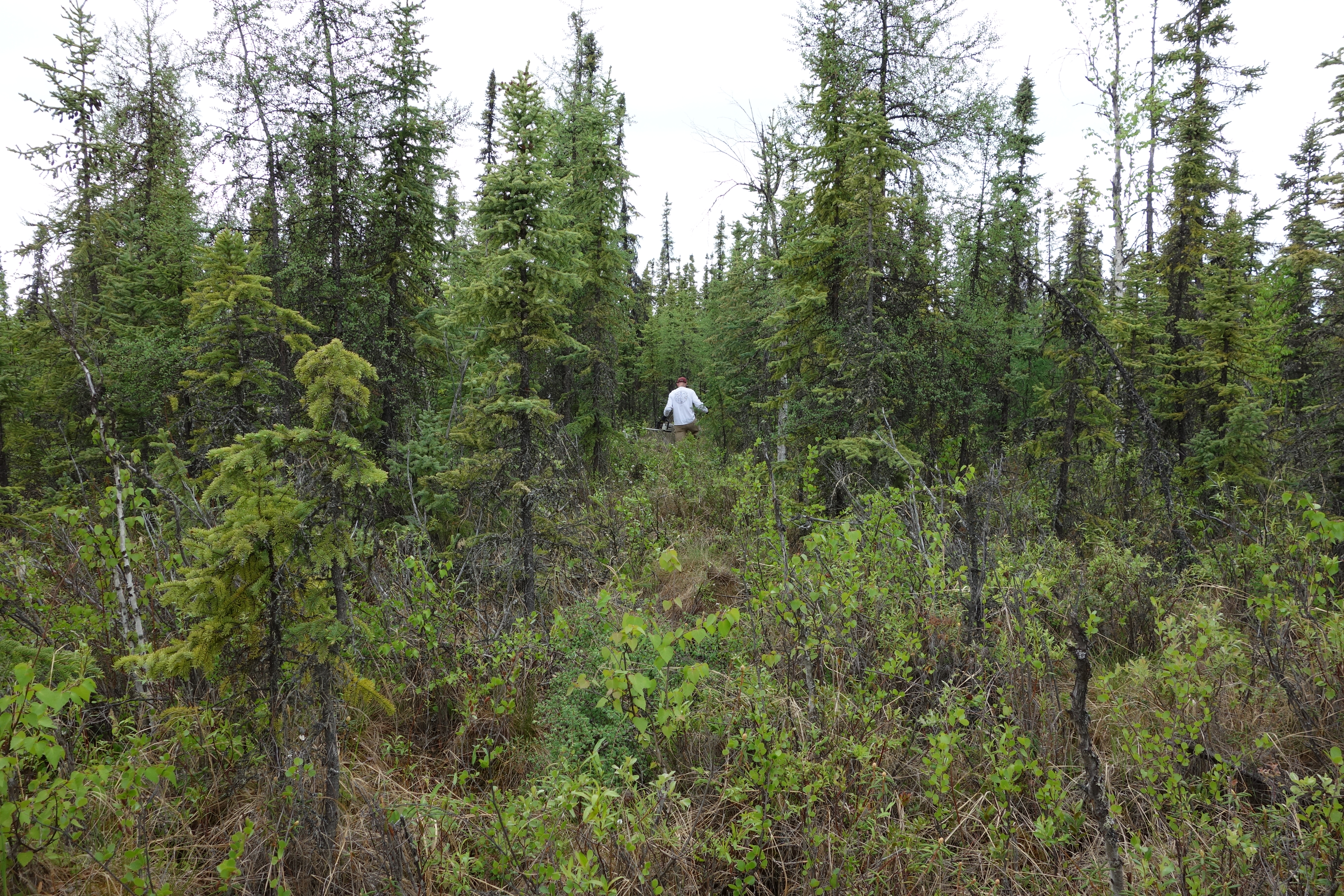
Arctic Vegetation Plots on Unalaska Island, Aleutian Islands, Alaska, 2007
National Aeronautics and Space Administration —
This data set provides environmental, soil, and vegetation data collected during August 2007 from 69 study plots at the Unalaska Island research site, and one plot on... -
Federal
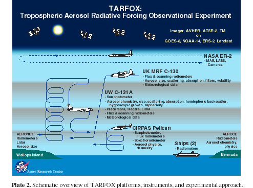
CAR TARFOX Tropospheric Aerosol Experiment BRDF V2 (CAR_TARFOX_BRDF) at GES DISC
National Aeronautics and Space Administration —
CAR TARFOX mission collected data in the western Atlantic Ocean on the effects of tropospheric aerosols on radiation budgets in cloud free skies. The mission also... -
Federal
Black Sea High Resolution SST L4 Analysis 0.0625 deg Resolution
National Aeronautics and Space Administration —
CNR MED Sea Surface Temperature provides daily gap-free maps (L4) at 0.0625 deg. x 0.0625 deg. horizontal resolution over the Black Sea. The data are obtained from... -
Federal
Arctic Boreal Annual Burned Area, Circumpolar Boreal Forest and Tundra, V2, 2002-2022
National Aeronautics and Space Administration —
This dataset provides annual cumulative end-of-season burned area in circumpolar boreal forests and tundra for the years 2002-2022. The data were generated using the... -
Federal
OCO-3 Level 2 spatially ordered geolocated retrievals screened using the A-band Preprocessor, Forward Processing V11 (OCO3_L2_ABand) at GES DISC
National Aeronautics and Space Administration —
Version 11 is the current version of the data set. Older versions will no longer be available and are superseded by Version 11. The Orbiting Carbon Observatory -3... -
Federal
Data for manuscript: Scalable and Robust Beam Shaping Using Apodized Fish-bone Grating Couplers
Department of Commerce —
Experimental and modeling data for manuscript "Scalable and Robust Beam Shaping Using Apodized Fish-bone Grating Couplers" by Chad Ropp, Dhriti Maurya, Alexander... -
Federal
Quasi-continuous voltage standard using sinusoidal and pulse-driven Josephson junction arrays
Department of Commerce —
Dataset for multiple publishable figures in the paper entitled "Quasi-continuous voltage standard using sinusoidal and pulse-driven Josephson junction arrays"...
273 datasets found for "帝国cms7.5优化版文库源码PPT文档付费下载站整站模板/同步生成/itag/百度推送/sitem✅项目合作 二开均可 TG:saolei44✅.LJNMNUhwwZOZs"