

253 datasets found for "Visibility"
-
Federal
BOREAS RSS-14 GOES-8 Level-1 Visible, Infrared and Water Vapor Images
National Aeronautics and Space Administration —
The BOREAS RSS-14 team collected and processed several GOES-7 and GOES-8 image data sets that covered the BOREAS study region. The level-1 BOREAS GOES-8 images are... -
Federal
BOREAS RSS-14 GOES-7 Level-1 Visible, Infrared, and Water Vapor Images
National Aeronautics and Space Administration —
The level-1 BOREAS GOES-7 image data were collected by Remote Sensing Science Team 14 (RSS-14) personnel at Florida State University (FSU) and delivered to BORIS. The... -
Federal
BOREAS RSS-08 SSA IFC-3 Digitized Stereo Imagery at the OBS, OA, and OJP Sites
National Aeronautics and Space Administration —
The RSS08 team acquired stereo photography from the double-scaffold towers at the Southern Study Area (SSA) Old Black Spruce (OBS), Old Aspen (OA), and Old Jack Pine... -
Federal
Deep Space Climate Observatory National Institute of Standards and Technology Advanced Radiometer Level 1B Radiance, Version 3
National Aeronautics and Space Administration —
DSCOVR_NISTAR_L1B_3 is the Deep Space Climate Observatory (DSCOVR) National Institute of Standards & Technology Advanced Radiometer (NISTAR) Level 1B version 3... -
Federal
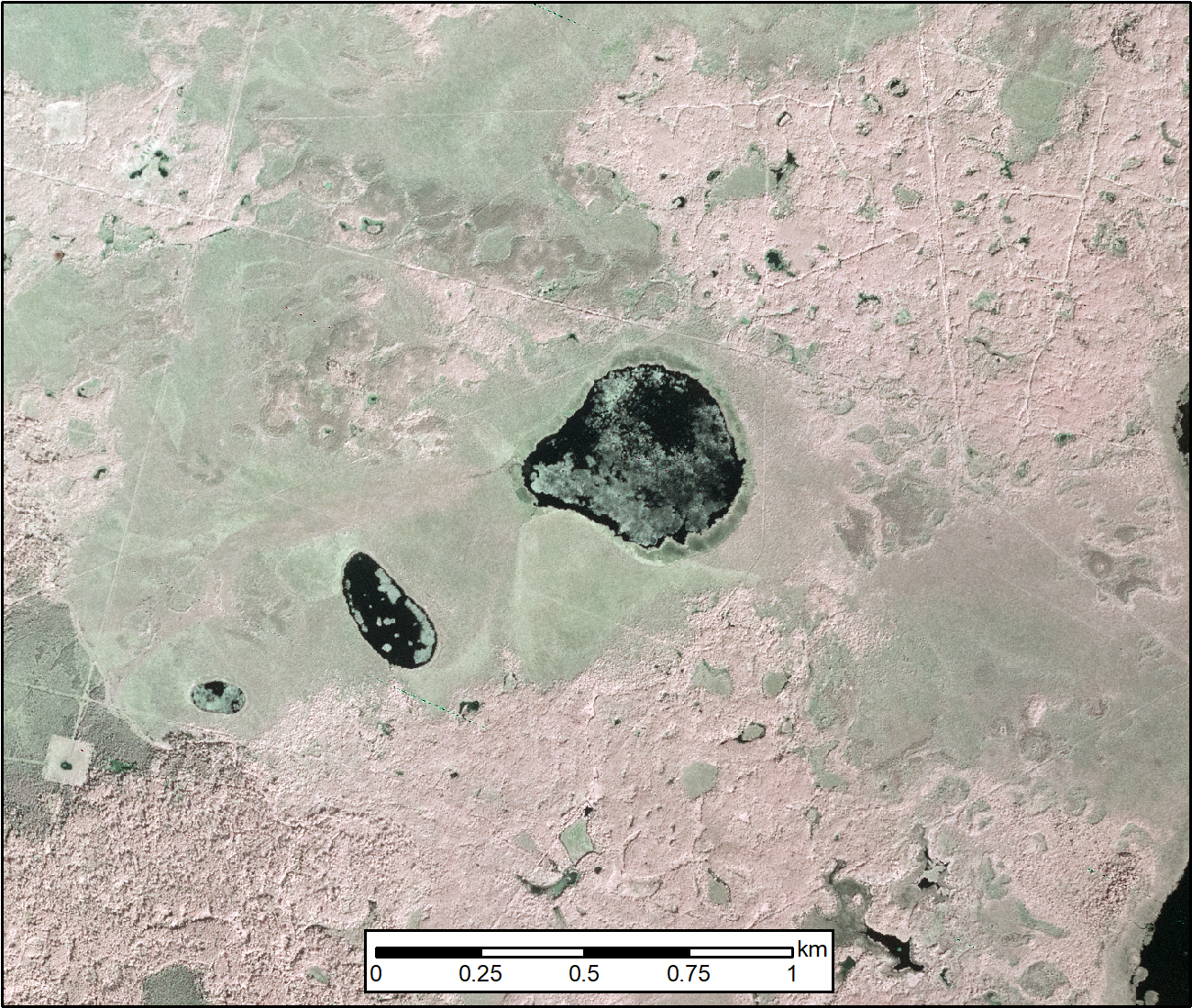
ABoVE: Methane Flux across Two Thermokarst Lake Ecosystems, Interior Alaska, 2018
National Aeronautics and Space Administration —
This dataset provides diffusive methane (CH4) fluxes collected from two thermokarst lakes in the Goldstream Valley, north of Fairbanks in interior Alaska. Fluxes were... -
Federal
ABoVE: AirSWOT Color-Infrared Imagery Over Alaska and Canada, 2017
National Aeronautics and Space Administration —
This dataset contains georeferenced three-band orthomosaics of green, red, and near-infrared (NIR) digital imagery at 1m resolution collected over selected surface... -
Federal
CERES and GEO-Enhanced TOA, Within-Atmosphere and Surface Fluxes, Clouds and Aerosols Monthly Terra-NPP Edition1A
National Aeronautics and Space Administration —
CER_SYN1deg-Month_Terra-NPP_Edition1A is the Clouds and the Earth's Radiant Energy System (CERES) and geostationary (GEO)-Enhanced Top-of-Atmosphere (TOA) Within-... -
Federal
CALIPSO Wide Field Camera Level 1B 125m Native Science data, Validated Stage 1 V3-01
National Aeronautics and Space Administration —
CAL_WFC_L1_125m-ValStage1-V3-01 data are Cloud-Aerosol Lidar and Infrared Pathfinder Satellite Observation (CALIPSO) Wide Field Camera (WFC) Level 1B 125m Native... -
Federal
CERES Single Scanner Footprint (SSF) TOA/Surface Fluxes, Clouds and Aerosols Aqua-FM3 Edition4A
National Aeronautics and Space Administration —
CER_SSF_Aqua-FM3-MODIS_Edition4A is the Clouds and the Earth's Radiant Energy System (CERES) Single Scanner Footprint (SSF) Top-of-the-Atmosphere (TOA)/Surface... -
Federal
CERES Regionally Averaged TOA Fluxes, Clouds and Aerosols Hourly NOAA-20 Edition 1C
National Aeronautics and Space Administration —
CER_SSF1deg-Hour_NOAA20-VIIRS_Edition1C is the NOAA-20 Clouds and the Earth's Radiant Energy System (CERES) Level 3 Single Scanner Footprint (SSF) Edition1C observed... -
Federal
BOREAS Daedalus TMS Level-0 Imagery: Digital Counts in BIL Format
National Aeronautics and Space Administration —
The level-0 Daedalus TMS imagery, along with the other remotely sensed images, was collected to provide spatially extensive information about radiant energy over the... -
Federal
BOREAS Level-0 AOCI Imagery: Digital Counts in BIL Format
National Aeronautics and Space Administration —
The level-0 AOCI imagery, along with the other remotely sensed images, was collected to provide spatially extensive information about radiant energy over the primary... -
Federal
UV-visible absorbance spectra of purified and unpurified m-cresol purple samples in sodium hydroxide and sodium chloride solutions at pH 12
Department of Commerce —
M-cresol purple is the most widely used pH indicator dye for seawater pH measurements. Impurities in the indicator are known to absorb strongly at one of the...
253 datasets found for "Visibility"