
-
Federal
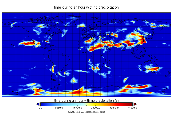
MERRA-2 statD_2d_slv_Nx: 2d,Daily,Aggregated Statistics,Single-Level,Assimilation,Single-Level Diagnostics 0.625 x 0.5 degree V5.12.4 (M2SDNXSLV) at GES DISC recent views
National Aeronautics and Space Administration —
M2SDNXSLV (or statD_2d_slv_Nx) is a 2-dimensional daily data collection in Modern-Era Retrospective analysis for Research and Applications version 2 (MERRA-2). This... -
Federal
MODIS/Aqua Aerosol Cloud Water Vapor Ozone Daily L3 Global 1Deg CMG NGDA recent views
National Aeronautics and Space Administration —
The MODIS/Aqua Aerosol Cloud Water Vapor Ozone Daily L3 Global 1Deg CMG product (MYD08_D3) contains daily 1 x 1 degree grid average values of atmospheric parameters... -
Federal
Aqua/AIRS L3 Monthly Standard Physical Retrieval (AIRS-only) 1 degree x 1 degree V7.0 at GES DISC recent views
National Aeronautics and Space Administration —
The Atmospheric Infrared Sounder (AIRS) is a grating spectrometer (R = 1200) aboard the second Earth Observing System (EOS) polar-orbiting platform, EOS Aqua. The... -
Federal
TRMM Precipitation Radar Rain Characteristics L2 1.5 hours V7 (TRMM_2A23) at GES DISC recent views
National Aeronautics and Space Administration —
The new version of these data is in GPM-like format (consistent with the GPM Dual-frequency Radar data format), and can be found under the name GPM_2APR. The TRMM... -
Federal
TRMM TROPICAL CYCLONE PRECIPITATION FEATURE (TCPF) DATABASE - LEVEL 1 V1 recent views
National Aeronautics and Space Administration —
The TRMM Cyclone Precipitation Feature (TCPF) Database - Level 1 provides Tropical Rainfall Measuring Mission (TRMM)-based tropical cyclone data in a common framework... -
Federal
ACCESS CTD (Station 2-E), Line 2, Station E recent views
National Oceanic and Atmospheric Administration, Department of Commerce —
Timeseries data from 'ACCESS CTD (Station 2-E), Line 2, Station E' (access-ctd-station-2-e-line-2-st) -
Federal
NOAA Polar-orbiting Operational Environmental Satellites (POES) Radiometer Data NGDA recent views
National Oceanic and Atmospheric Administration, Department of Commerce —
The Polar-orbiting Operational Environmental Satellite (POES) series offers the advantage of daily global coverage, by making nearly polar orbits 14 times per day... -
Federal
PV_SHELF04 - 759 recent views
National Oceanic and Atmospheric Administration, Department of Commerce —
Timeseries data from 'PV_SHELF04 - 759' (pv_shelf04-759) -
Federal
MONTEREY_BAY - 474 recent views
National Oceanic and Atmospheric Administration, Department of Commerce —
Timeseries data from 'MONTEREY_BAY - 474' (monterey_bay-474) -
Federal
125 - El Porto Nearshore, CA (46220) recent views
National Oceanic and Atmospheric Administration, Department of Commerce —
Timeseries data from '125 - El Porto Nearshore, CA (46220)' (edu_ucsd_cdip_125) -
Federal
SDIA2 - South Douglas, AK recent views
National Oceanic and Atmospheric Administration, Department of Commerce —
Timeseries data from 'SDIA2 - South Douglas, AK' (gov_noaa_nws_sdia2) -
Federal
ACCESS CTD (Station 4-MW), Line 4, Station MW recent views
National Oceanic and Atmospheric Administration, Department of Commerce —
Timeseries data from 'ACCESS CTD (Station 4-MW), Line 4, Station MW' (access-ctd-station-4-mw-line-4-s) -
Federal
Tigalda Bay, Tigalda Island, AK recent views
National Oceanic and Atmospheric Administration, Department of Commerce —
Timeseries data from 'Tigalda Bay, Tigalda Island, AK' (noaa_nos_co_ops_9462782) -
Federal
Quinhagak (Kwinak), Kushkokwin River, AK recent views
National Oceanic and Atmospheric Administration, Department of Commerce —
Timeseries data from 'Quinhagak (Kwinak), Kushkokwin River, AK' (noaa_nos_co_ops_9465831) -
Federal
Cove Point, AK recent views
National Oceanic and Atmospheric Administration, Department of Commerce —
Timeseries data from 'Cove Point, AK' (noaa_nos_co_ops_9452346) -
Federal
MAPCO2 Buoy: Poipu, Kauai, Hawaii recent views
National Oceanic and Atmospheric Administration, Department of Commerce —
This buoy is located approximately 850 meters offshore of the south coast of the island of Kauai near Poipu in the State of Hawaii. It is moored in waters 17 m (55... -
Federal
TEMPESTS MA102 Waer Level - CINAR recent views
National Oceanic and Atmospheric Administration, Department of Commerce —
CINAR Storm MA102 Echorange Observations -
Federal
Multi-Satellite Volcanic Sulfur Dioxide L4 Long-Term Global Database V4 (MSVOLSO2L4) at GES DISC recent views
National Aeronautics and Space Administration —
Version 4 is the current version of the data set. Older versions are no longer available and have been superseded by Version 4. These data are a part of MEaSUREs 2012... -
Federal
CALIPSO Lidar Level 2 Vertical Feature Mask (VFM), V4-51 recent views
National Aeronautics and Space Administration —
CAL_LID_L2_VFM-Standard-V4-21 is the Cloud-Aerosol Lidar and Infrared Pathfinder Satellite Observations (CALIPSO) Lidar Level 2 Vertical Feature Mask (VFM), Version... -
Federal
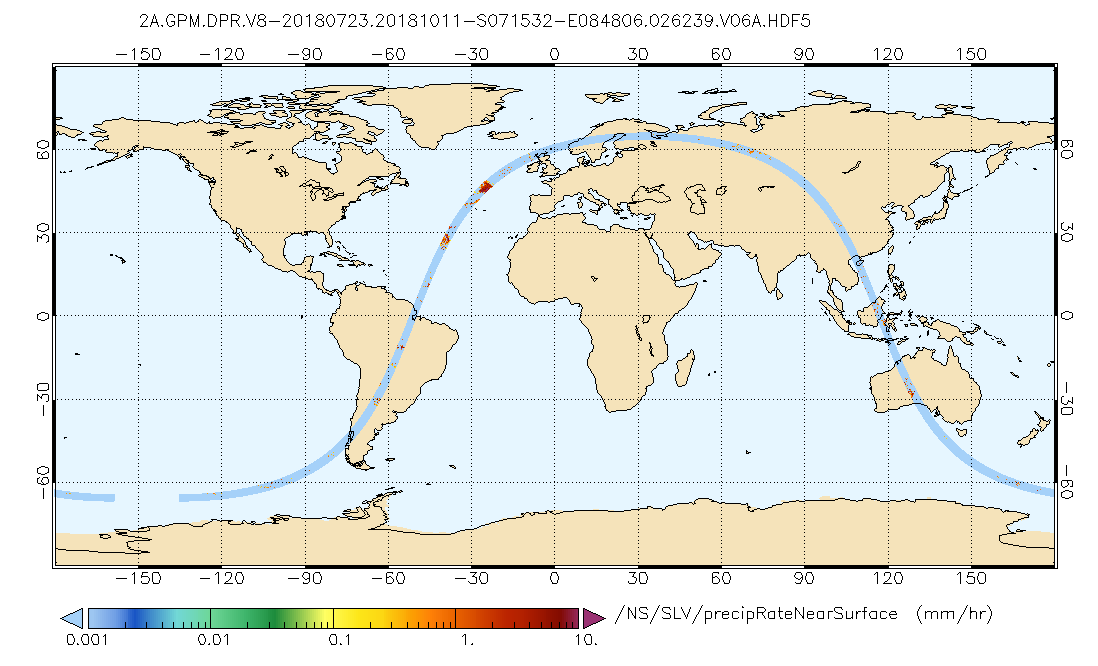
GPM DPR Precipitation Profile L2A 1.5 hours 5 km V07 (GPM_2ADPR) at GES DISC recent views
National Aeronautics and Space Administration —
Version 07 is the current version of the data set. Older versions will no longer be available and have been superseded by Version 07. . 2ADPR provides single- and...

Official websites use .gov
A
.gov website belongs to an official government
organization in the United States.
Secure .gov websites use HTTPS
A
lock (
) or https:// means you’ve safely connected to
the .gov website. Share sensitive information only on official,
secure websites.