
-
Federal
NPP Tropical Forest: Barro Colorado, Panama, 1969-1990, R1
National Aeronautics and Space Administration —
This data set contains three ASCII files (.txt format). One file provides net primary productivity (NPP) data for the moist lowland tropical forest on Barro Colorado... -
Federal
GEWEX SRB Integrated Product (Rel-4_1) Longwave Monthly Average by local Ocean-only Fluxes
National Aeronautics and Space Administration —
GEWEXSRB_Rel4_1-IP_Longwave_monthly_oceanonly_local is the Global Energy and Water Exchanges (GEWEX) Surface Radiation Budget (SRB) Integrated Product (Rel-4)... -
Federal
GPM Ground Validation Iowa Flood Center (IFC) NEXRAD Composite IFloodS V1
National Aeronautics and Space Administration —
The GPM Ground Validation Iowa Flood Center (IFC) NEXRAD Composite IFloodS dataset contains rain rate estimates derived using NEXt Generation Weather RADar system... -
Federal
ER-2 X-band Radar (EXRAD) 3D Winds IMPACTS
National Aeronautics and Space Administration —
The ER-2 X-band Radar (EXRAD) 3D Winds IMPACTS dataset consists of horizontal wind components, uncertainties in the horizontal wind components, and radar reflectivity... -
Federal
GPM GROUND VALIDATION MCGILL VERTICAL POINTING X-BAND (VERTIX) RADAR GCPEX V1
National Aeronautics and Space Administration —
The GPM Ground Validation McGill Vertical Pointing X-Band (VertiX) Radar GCPEx dataset consists of radar reflectivity and Doppler velocity data collected by the... -
Federal
GHRSST NOAA/STAR Himawari-08 AHI L3C Pacific Ocean Region SST v2.70 dataset in GDS2
National Aeronautics and Space Administration —
The ACSPO H08/AHI L3C (Level 3 Collated) product is a gridded version of the ACSPO H08/AHI L2P product available at... -
Federal
CERES Time-Interpolated TOA Fluxes, Clouds and Aerosols Daily NOAA-20 Edition1B
National Aeronautics and Space Administration —
The Clouds and the Earth's Radiant Energy System (CERES) Single Scanner Footprint One Degree (SSF1deg) Day provides daily averages of regional constant meteorology... -
Federal
GHRSST NOAA/STAR ACSPO v2.80 0.02 degree L3S Dataset from mid-Morning LEO Satellites (GDS v2)
National Aeronautics and Space Administration —
NOAA STAR produces two lines of gridded 0.02 degree super-collated L3S LEO sub-skin Sea Surface Temperature (SST) datasets, one from the NOAA afternoon JPSS... -
Federal
GEWEX SRB Integrated Product (Rel-4) Longwave Monthly Average by UTC
National Aeronautics and Space Administration —
GEWEXSRB_Rel4-IP_Longwave_monthly_utc is the Global Energy and Water Exchanges (GEWEX) Surface Radiation Budget (SRB) Integrated Product (Rel-4) Longwave Monthly... -
Federal
Cape Basin Pre-SWOT Level-4 Hourly MITgcm LLC4320 Native Grid 2km Oceanographic Dataset Version 1.0
National Aeronautics and Space Administration —
This dataset provides a regional multivariate oceanographic state estimate from a global ocean numerical simulation with a focus on the Cape Basin region. The global... -
Federal
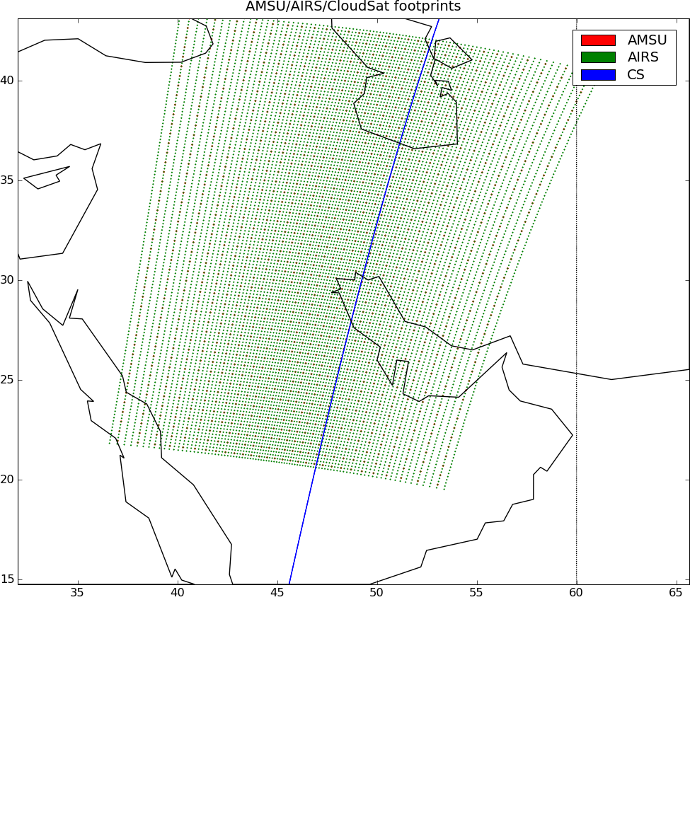
AIRS-AMSU variables-CloudSat cloud mask, radar reflectivities, and cloud classification matchups V3.2 (AIRSM_CPR_MAT) at GES DISC
National Aeronautics and Space Administration —
This is AIRS-CloudSat collocated subset, in NetCDF 4 format. These data contain collocated: AIRS/AMSU retrievals at AMSU footprints, CloudSat radar reflectivities,... -
Federal
2014-2017 NOAA NGS Ortho-rectified Mean Lower Low Water Near-Infrared Mosaic from Searose Beach to Astoria, Oregon
National Oceanic and Atmospheric Administration, Department of Commerce —
This data set contains ortho-rectified mosaic tiles, created as a product from the NOAA Integrated Ocean and Coastal Mapping (IOCM) initiative. The source imagery was... -
Federal
2016-2017 NOAA NGS Ortho-rectified Mean Lower Low Water Near-infrared Mosaic of Lane, Douglas, and Coos Counties, Oregon
National Oceanic and Atmospheric Administration, Department of Commerce —
This data set contains ortho-rectified mosaic tiles, created as a product from the NOAA Integrated Ocean and Coastal Mapping (IOCM) initiative. The source imagery was... -
Federal
Generator Fleet Characteristics Model
Department of Commerce —
When run, the GFCM creates tabular and graphical data of the hourly operating status and market outcomes for the generators that make up the electric generating fleet. -
Federal
TROPESS CrIS-SNPP L2 Carbon Monoxide for West Coast Fires HiRes, Standard Product V1 (TRPSDL2COCRSWCFHI) at GES DISC
National Aeronautics and Space Administration —
The TROPESS CrIS-SNPP L2 Carbon Monoxide for West Coast Fires HiRes, Standard Product contains the vertical distribution of the retrieved atmospheric state of carbon... -
Federal
CERES and GEO-Enhanced TOA, Within-Atmosphere and Surface Fluxes, Clouds and Aerosols Monthly-Averaged 1-Hourly Terra-Aqua Edition4A
National Aeronautics and Space Administration —
CER_SYN1deg-MHour_Terra-Aqua-MODIS_Edition4A is the Clouds and the Earth's Radiant Energy System (CERES) and geostationary (GEO)-Enhanced Top-of-Atmosphere (TOA),... -
Federal
BOREAS TF-08 NSA-OJP Tower Flux, Meteorological, and Soil Temperature Data
National Aeronautics and Space Administration —
The BOREAS TF-08 team collected energy, CO2, and water vapor flux data at the BOREAS NSA-OJP site during the growing season of 1994 and most of the year for 1996.

Official websites use .gov
A
.gov website belongs to an official government
organization in the United States.
Secure .gov websites use HTTPS
A
lock (
) or https:// means you’ve safely connected to
the .gov website. Share sensitive information only on official,
secure websites.