
-
Federal
Geostationary Lightning Mapper (GLM) Thunder Hour Data Product
National Aeronautics and Space Administration —
The Geostationary Lightning Mapper (GLM) is the first optical lightning detector in geostationary orbit, and GLM sensors operate aboard the National Oceanic and... -
Federal
REGIONAL AIR-SEA INTERACTION (RASI) GAP WIND AND COASTAL UPWELLING EVENTS CLIMATOLOGY GULF OF PANAMA, PANAMA V1
National Aeronautics and Space Administration —
The Regional Air-Sea Interactions (RASI) Gap Wind and Coastal Upwelling Events Climatology Gulf of Panama, Panama dataset was created using an automated intelligent... -
Federal
GPM Ground Validation Optical Disdrometer (ODM) LPVEx
National Aeronautics and Space Administration —
The GPM Ground Validation Optical Disdrometer (ODM) LPVEx dataset consists of precipitation particle size distribution data collected by the Eigenbrodt Optical... -
Federal
Hurricane and Severe Storm Sentinel (HS3) Statistical Hurricane Intensity Prediction Scheme (SHIPS) Intensity V1
National Aeronautics and Space Administration —
The Hurricane and Severe Storm Sentinel (HS3) Statistical Hurricane Intensity Prediction Scheme (SHIPS) Intensity dataset was obtained from March 18, 2014 through... -
Federal
LIS/OTD 2.5 Degree Low Resolution Monthly Climatology Time Series (LRMTS) V2.3.2015
National Aeronautics and Space Administration —
The LIS/OTD 2.5 Degree Low Resolution Monthly Climatology Time Series (LRMTS) contains a variety of gridded climatologies of total lightning flash rates obtained from... -
Federal
Weather Research and Forecasting (WRF) Model IMPACTS V1
National Aeronautics and Space Administration —
The Weather Research and Forecasting (WRF) Model IMPACTS dataset includes model data simulated by the Weather Research and Forecasting (WRF) model for the... -
Federal
GOES-R Geostationary Lightning Mapper (GLM) Gridded Data Products
National Aeronautics and Space Administration —
The GOES-R Geostationary Lightning Mapper (GLM) Gridded Data Products consist of full disk extent gridded lightning flash data collected by the Geostationary... -
Federal
GPM Ground Validation Precipitation Imaging Package (PIP) ICE POP V1
National Aeronautics and Space Administration —
The GPM Ground Validation Precipitation Imaging Package (PIP) ICE POP dataset includes precipitation measurements and video images collected by the Precipitation... -
Federal
GPM GROUND VALIDATION NOAA CPC MORPHING TECHNIQUE (CMORPH) IPHEX V1
National Aeronautics and Space Administration —
The GPM Ground Validation NOAA CPC Morphing Technique (CMORPH) IPHEx dataset consists of global precipitation analyses data produced by the NOAA Climate Prediction... -
Federal
ADVANCED MICROWAVE SOUNDING UNIT-A (AMSU-A) SWATH FROM NOAA-15
National Aeronautics and Space Administration —
AMSU-A, the Advanced Microwave Sounding Unit, is a 15-channel passive microwave radiometer used to profile atmospheric temperature and moisture from the earth's... -
Federal
GPM GROUND VALIDATION ENVIRONMENT CANADA (EC) SNOW SURVEYS GCPEX V1
National Aeronautics and Space Administration —
The GPM Ground Validation Environment Canada Snow Surveys GCPEx dataset was manually collected during the GPM Cold-season Precipitation Experiment (GCPEx), which... -
Federal
RSS SSM/I OCEAN PRODUCT GRIDS WEEKLY AVERAGE FROM DMSP F15 NETCDF V7
National Aeronautics and Space Administration —
The RSS SSM/I Ocean Product Grids Weekly Average from DMSP F15 netCDF dataset is part of the collection of Special Sensor Microwave/Imager (SSM/I) and Special Sensor... -
Federal
RSS MONTHLY 1-DEG MICROWAVE TOTAL PRECIPITABLE WATER NETCDF V7R01
National Aeronautics and Space Administration —
The Remote Sensing Systems (RSS) Monthly 1-degree Microwave Total Precipitable Water (TPW) netCDF dataset V7R01 provides global total columnar water vapor values, or... -
Federal
GRIP HURRICANE IMAGING RADIOMETER (HIRAD) V1
National Aeronautics and Space Administration —
The GRIP Hurricane Imaging Radiometer (HIRAD) V1 dataset contains measurements of brightness temperature taken at 4, 5, 6 and 6.6 GHz, as well as MERRA 2 m wind speed... -
Federal
GRIP Hurricane and Tropical Storm Forecasts V1
National Aeronautics and Space Administration —
The GRIP Hurricane and Tropical Storm Forecasts dataset consists of tropical cyclone model forecast tracks archived during the NASA Genesis and Rapid Intensification... -
Federal
GLM Events and Flashes Data
National Aeronautics and Space Administration —
The GLM Events and Flashes Data consist of the size and number of lightning flashes and events. The data were collected from the Geostationary Lightning Mapper (GLM)... -
Federal
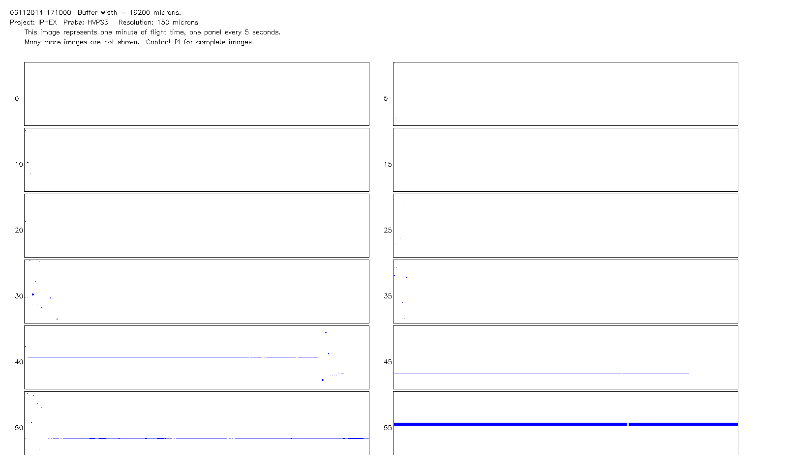
GPM Ground Validation NCAR Particle Probes IPHEx V1
National Aeronautics and Space Administration —
The GPM Ground Validation NCAR Particle Probes IPHEx dataset consists of Ice Water Content (IWC), particle number concentration normalized by bin width, and total... -
Federal
GPM GROUND VALIDATION CLOUD SPECTROMETER AND IMPACTOR (CIP) LPVEX V1
National Aeronautics and Space Administration —
The GPM Ground Validation Cloud Spectrometer and Impactor (CIP) LPVEx dataset provides particle size spectra for the Global Precipitation Measurement (GPM) Misson... -
Federal
RSS SSM/I OCEAN PRODUCT GRIDS MONTHLY AVERAGE FROM DMSP F15 NETCDF V7
National Aeronautics and Space Administration —
The RSS SSM/I Ocean Product Grids Monthly Average from DMSP F15 netCDF dataset is part of the collection of Special Sensor Microwave/Imager (SSM/I) and Special Sensor...

Official websites use .gov
A
.gov website belongs to an official government
organization in the United States.
Secure .gov websites use HTTPS
A
lock (
) or https:// means you’ve safely connected to
the .gov website. Share sensitive information only on official,
secure websites.