
-
Federal
BLM Natl MLRS Mining Claims - Not Closed 79 recent views
Department of the Interior —
This dataset contains mining claim cases with the case disposition (status) of anything other than closed from US Bureau of Land Management's, BLM, Mineral and Land... -
Federal
BLM Natl MLRS Oil and Gas Leases 21 recent views
Department of the Interior —
This dataset contains oil and gas leases cases derived from Legal Land Descriptions (LLD) contained in the US Bureau of Land Management's, BLM, Mineral and Land... -
Federal
BLM ES SO Natl Scenic Historic Trails NLCS 18 recent views
Department of the Interior —
This polyline feature class represents the Bureau of Land Management (BLM) National Landscape Conservation System (NLCS) National Scenic and Historic Trails. This... -
Federal
BLM Natl MLRS Geothermal Leases 17 recent views
Department of the Interior —
This dataset contains geothermal leases cases derived from Legal Land Descriptions (LLD) contained in the US Bureau of Land Management's, BLM, Mineral and Land Record... -
Federal
BLM ES PLSSSecondDivision 16 recent views
Department of the Interior —
The second division of the PLSS is quarter, quarter-quarter, sixteenth or government lot division of the PLSS. The second and third divisions are combined into this... -
Federal
BLM Natl MLRS Mining Claims -Closed 10 recent views
Department of the Interior —
This dataset contains mining claim cases with the case disposition (status) of closed from US Bureau of Land Management's, BLM, Mineral and Land Record System(MLRS).... -
Federal
Shoreline Mapping Program of Port of Taconite, MN, MN1601-CS-N NGDA
National Oceanic and Atmospheric Administration, Department of Commerce —
These data provide an accurate high-resolution shoreline compiled from imagery of Port of Taconite, MN . This vector shoreline data is based on an office... -
Federal
BLM Natl MLRS Locatable Plans of Operations
Department of the Interior —
This dataset contains plans of operations for locatable mineral cases derived from Legal Land Descriptions (LLD) contained in the US Bureau of Land Management's, BLM,... -
Federal
BLM Natl MLRS Oil and Gas Agreements
Department of the Interior —
This dataset contains oil and gas agreements cases derived from Legal Land Descriptions (LLD) contained in the US Bureau of Land Management's, BLM, Mineral and Land... -
Federal
Meteorological Data (including visibility)
National Oceanic and Atmospheric Administration, Department of Commerce —
The National Ocean Service (NOS) maintains a long-term database containing data from active and historic stations installed all over the United States and U.S.... -
Federal
Shoreline Data Rescue Project of Lake Superior, Two Harbors and Knife River, CM-8316 NGDA
National Oceanic and Atmospheric Administration, Department of Commerce —
These data were automated to provide an accurate high-resolution historical shoreline of Lake Superior, Two Harbors and Knife River suitable as a geographic... -
Federal
H03430: NOS Hydrographic Survey
National Oceanic and Atmospheric Administration, Department of Commerce —
The National Oceanic and Atmospheric Administration (NOAA) has the statutory mandate to collect hydrographic data in support of nautical chart compilation for safe... -
Federal
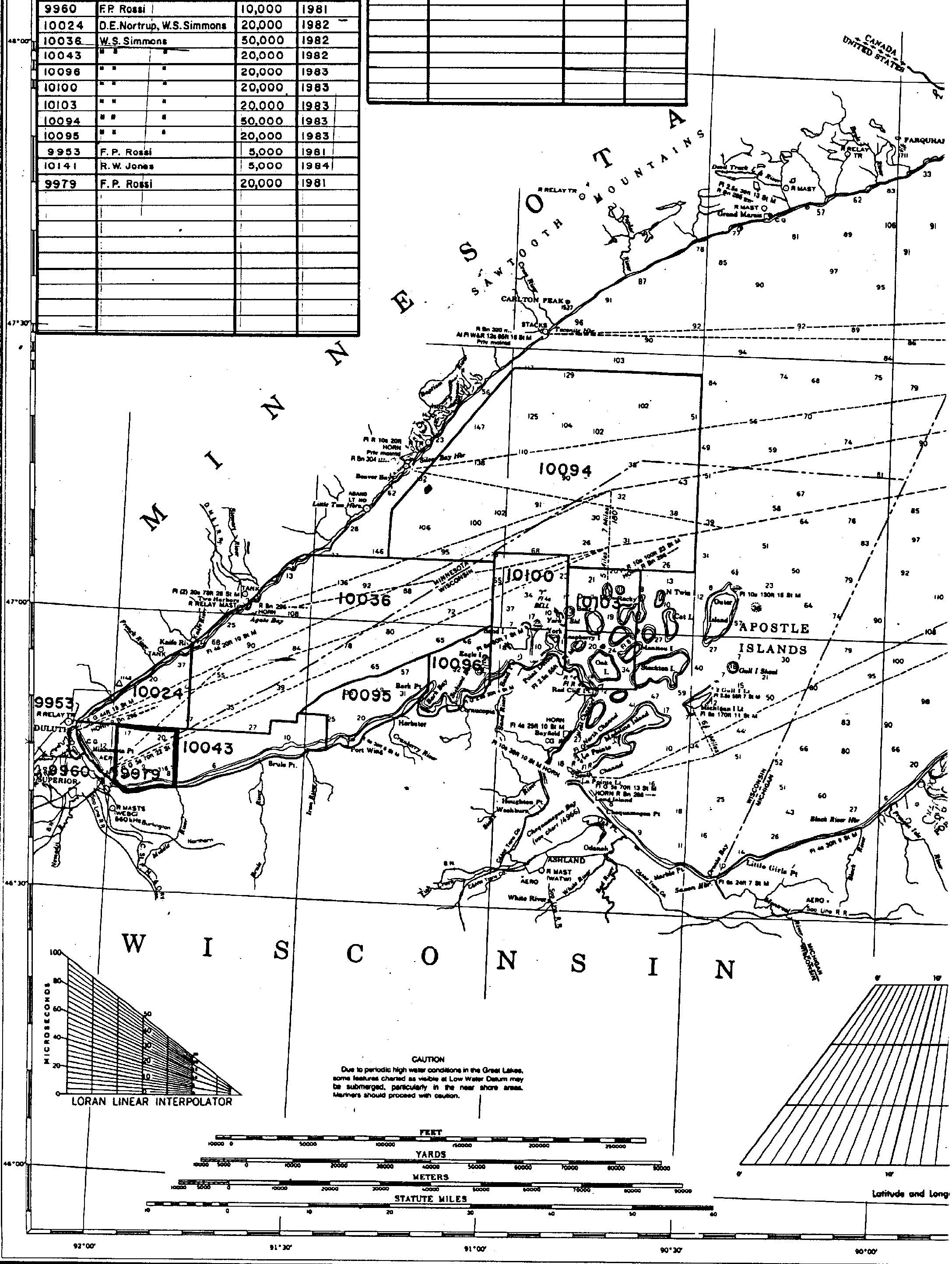
H09979: NOS Hydrographic Survey , Lake Superior, Wisconsin Minnesota, 1982-09-23
National Oceanic and Atmospheric Administration, Department of Commerce —
The National Oceanic and Atmospheric Administration (NOAA) has the statutory mandate to collect hydrographic data in support of nautical chart compilation for safe... -
Federal
BLM ES Administrative Unit Office NGDA
Department of the Interior —
This polygon feature class represents the spatial extent of active BLM Administrative Unit Boundaries at the State, District, and Field Office levels. -
Federal
H03428: NOS Hydrographic Survey
National Oceanic and Atmospheric Administration, Department of Commerce —
The National Oceanic and Atmospheric Administration (NOAA) has the statutory mandate to collect hydrographic data in support of nautical chart compilation for safe... -
Federal
BLM ES PLSSIntersected
Department of the Interior —
The fully intersected data is the atomic level of the PLSS that is similar to the coverage or the smallest pieces used to build the PLSS. Polygons may overlap in this... -
Federal
BLM ES PLSSPoint
Department of the Interior —
These are the corners of the PLSS. This data set contains summary information about the coordinate location and reliability of corner coordinate information. The... -
Federal
NOAA Water Levels for Coastal, Estuaries and Great Lakes regions
National Oceanic and Atmospheric Administration, Department of Commerce —
For over 200 years, NOAA's Center for Operational Oceanographic Products and Services (CO-OPS) and its predecessors have been managing a comprehensive system for... -
Federal
BLM Natl MLRS Land Use Authorization- Leases-Permits-Easements
Department of the Interior —
This dataset contains land use authorization leases, permits and easement cases derived from Legal Land Descriptions (LLD) contained in the US Bureau of Land... -
Federal
BLM Natl MLRS Land Use Authorization- Rights of Way ROW
Department of the Interior —
This dataset contains land use authorization- rights-of-way cases derived from Legal Land Descriptions (LLD) contained in the US Bureau of Land Management's, BLM,...

Official websites use .gov
A
.gov website belongs to an official government
organization in the United States.
Secure .gov websites use HTTPS
A
lock (
) or https:// means you’ve safely connected to
the .gov website. Share sensitive information only on official,
secure websites.