

5 datasets found
-
Federal
BOREAS TE-21 Daily Surface Meteorological Data
National Aeronautics and Space Administration —
Contains meteorological measurement data collected by TE-21. -
Federal
BOREAS TGB-12 Soil Carbon and Flux Data of NSA-MSA in Raster Format
National Aeronautics and Space Administration —
This data set contains (1) estimates of soil carbon stocks by horizon based on soil survey data and analyses of data from individual soil profiles; (2) estimates of... -
Federal
BOREAS Regional Soils Data in Raster Format and AEAC Projection
National Aeronautics and Space Administration —
This data set was gridded by BORIS staff from a vector data set received from Canadian Soil Information System (CanSIS). Data were gridded into the Albers Equal-Area... -
Federal
Data over the SSA in Raster Format and AEAC Projection
National Aeronautics and Space Administration —
GIS layers that describe the soils of the BOREAS SSA. Original data were submitted as vector layers that were then gridded by BOREAS staff to a 30-meter pixel size in... -
Federal
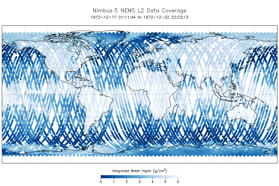
NEMS/Nimbus-5 Level 2 Output Data V001 (NEMSN5L2) at GES DISC
National Aeronautics and Space Administration —
NEMSN5L2 is the Nimbus-5 or Nimbus-E Microwave Spectrometer (NEMS) Level-2 Output Data product and contains surface reflectivity, water vapor, liquid water, layer...
5 datasets found