
-
Federal
Utah FORGE: Well 56-32 Drilling Data and Logs
Department of Energy —
This dataset consists of drilling data (Pason data spreadsheets, daily reports, days v. depth, mud logs), Schlumberger logs (FMI, shear anisotropy analysis, memory,... -
Federal
India Village-Level Geospatial Socio-Economic Data Set: 1991, 2001
National Aeronautics and Space Administration —
The India Village-Level Geospatial Socio-Economic Data Set: 1991, 2001 is a compilation of the finest level of administrative boundaries in India (village/town-level)... -
Federal
2023 NOAA USGS Lidar DEM: Hawaii (Big Island)
National Oceanic and Atmospheric Administration, Department of Commerce —
Original Dataset Product: 0.5-meter bare-earth raster digital elevation model (DEM) data tiles in GeoTIFF format. Original Dataset Geographic Extent:... -
Federal
2022 - 2023 NOAA USGS Lidar: Hawaii (Kahoolawe, Lanai, Maui, Molokai, Oahu)
National Oceanic and Atmospheric Administration, Department of Commerce —
Original Dataset Product: Processed, classified lidar point cloud data tiles in LAZ 1.4 format. Original Dataset Geographic Extent: HI_NOAAMauiOahu_1: The work unit... -
Federal
OCS Gulf of Mexico NAD27 Block Polygons - 2nd Division NGDA
Department of the Interior —
This is a national data collection of data resources managed by the Bureau of Ocean Energy Management (BOEM) for the Outer Continental Shelf (OCS). The data... -
Federal
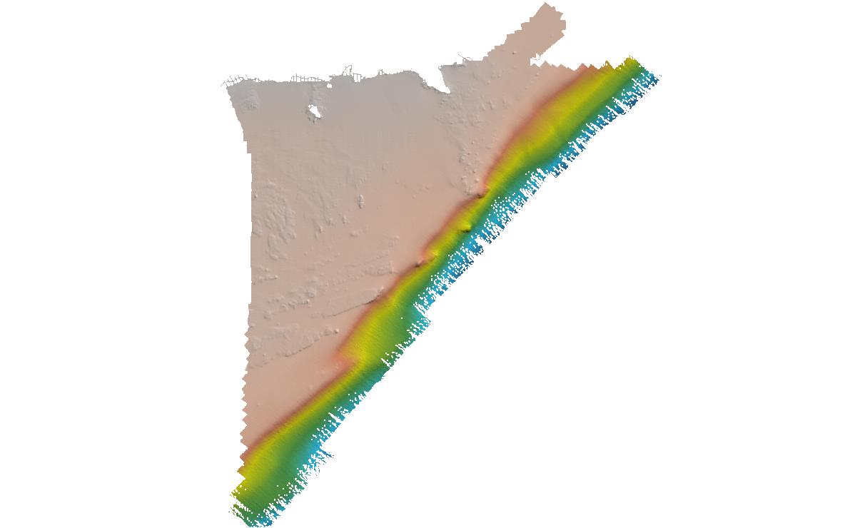
Matagorda Bay, TX (G280) Bathymetric Digital Elevation Model (30 meter resolution) Derived From Source Hydrographic Survey Soundings Collected by NOAA
National Oceanic and Atmospheric Administration, Department of Commerce —
Bathymetry for Matagorda Bay was derived from twenty-three surveys containing 250,396 soundings. Six overlapping, older, less accurate surveys were omitted, and the... -
Federal
USGS Digital Orthophoto Quadrangles
National Aeronautics and Space Administration —
A Digital Orthophoto Quadrangle (DOQ) is a computer-generated image of an aerial photograph in which the image displacement caused by terrain relief and camera tilt... -
Federal
St. Johns River, FL (S180) Bathymetric Digital Elevation Model (30 meter resolution) Derived From Source Hydrographic Survey Soundings Collected by NOAA
National Oceanic and Atmospheric Administration, Department of Commerce —
Bathymetry for the St. Johns River was derived from thirty-two surveys containing 158,931 soundings. No surveys were omitted. The average separation between soundings... -
Federal
OCS BOEM Offshore Boundary Lines NGDA
Department of the Interior —
This is a national data collection of data resources managed by the Bureau of Ocean Energy Management (BOEM) for the Outer Continental Shelf (OCS). The data... -
Federal
ECOSTRESS Evapotranspiration dis-ALEXI USDA Daily L3 Global 30m V001
National Aeronautics and Space Administration —
The ECOsystem Spaceborne Thermal Radiometer Experiment on Space Station (ECOSTRESS) mission measures the temperature of plants to better understand how much water... -
Federal
OPERA Dynamic Surface Water Extent from Harmonized Landsat Sentinel-2 provisional product (Version 1)
National Aeronautics and Space Administration —
This dataset contains Level-3 Dynamic OPERA provisional surface water extent product version 1. The data are provisional surface water extent observations beginning... -
Federal
Columbia River, WA/OR (P260) Bathymetric Digital Elevation Model (30 meter resolution) Derived From Source Hydrographic Survey Soundings Collected by NOAA
National Oceanic and Atmospheric Administration, Department of Commerce —
Bathymetry for the Columbia River was derived from forty-five surveys containing 306,711 soundings. Nine older, overlapping, less accurate surveys were omitted before... -
Federal
2023 NOAA USGS Lidar: Hawaii (Big Island)
National Oceanic and Atmospheric Administration, Department of Commerce —
Original Dataset Product: Processed, classified lidar point cloud data tiles in LAZ 1.4 format. Original Dataset Geographic Extent: HI_NOAAMauiOahu_3: The work unit... -
Federal
Great Bay, NH (N130) Bathymetric Digital Elevation Model (30 meter resolution) Derived From Source Hydrographic Survey Soundings Collected by NOAA
National Oceanic and Atmospheric Administration, Department of Commerce —
Bathymetry for Great Bay was derived from six surveys containing 30,640 soundings. One older, less accurate, overlapping survey was omitted before tinning the data.... -
Federal
ECOSTRESS Tiled Ancillary NDVI and Albedo L2 Global 70 m V002
National Aeronautics and Space Administration —
The ECOsystem Spaceborne Thermal Radiometer Experiment on Space Station (ECOSTRESS) mission measures the temperature of plants to better understand how much water... -
Federal
H10979: NOS Hydrographic Survey , Southwest Alaska Peninsula, Alaska, 2001-06-22
National Oceanic and Atmospheric Administration, Department of Commerce —
The National Oceanic and Atmospheric Administration (NOAA) has the statutory mandate to collect hydrographic data in support of nautical chart compilation for safe... -
Federal
St. Andrew/St. Simons Sounds, GA (S160) Bathymetric Digital Elevation Model (30 meter resolution) Derived From Source Hydrographic Survey Soundings Collected by NOAA
National Oceanic and Atmospheric Administration, Department of Commerce —
Bathymetry for St. Andrew/St. Simons Sounds was derived from fifteen surveys containing 87,618 soundings. Two older, overlapping, less accurate surveys were omitted...

Official websites use .gov
A
.gov website belongs to an official government
organization in the United States.
Secure .gov websites use HTTPS
A
lock (
) or https:// means you’ve safely connected to
the .gov website. Share sensitive information only on official,
secure websites.
.jpg)