
-
Federal
MVUM Symbology - Motor Vehicle Use Map Trails
Department of Agriculture —
This feature class depicts Forest Service trails where motorized use is allowed. It contains information on the specific type of motor vehicle and their seasons of... -
Federal
BOREAS HYD-03 Snow Temperature Profiles
National Aeronautics and Space Administration —
The BOREAS HYD-03 team collected several data sets related to the hydrology of forested areas. This data set contains measurements of snow depth, snow density in 3-cm... -
Federal
BOREAS Derived Surface Meteorological Data
National Aeronautics and Space Administration —
In 1995, the BOREAS science teams identified the need for a continuous surface meteorological and radiation data set to support flux and surface process modeling... -
Federal
ABoVE: CO2 and CH4 Fluxes and Meteorology at Flux Tower Sites, Alaska, 2015-2017
National Aeronautics and Space Administration —
This dataset provides CO2 and CH4 fluxes and meteorological parameters from five eddy covariance (EC) tower sites located at Barrow (three sites), Atqasuk (ATQ) and... -
Federal
Passive Microwave-derived Annual Snowoff Date Maps, 1988-2023
National Aeronautics and Space Administration —
This dataset provides annual maps of the snowoff (SO) date from 1988-2023 across Alaska and parts of Far East Russia and northwest Canada at a resolution of 6.25 km.... -
Federal
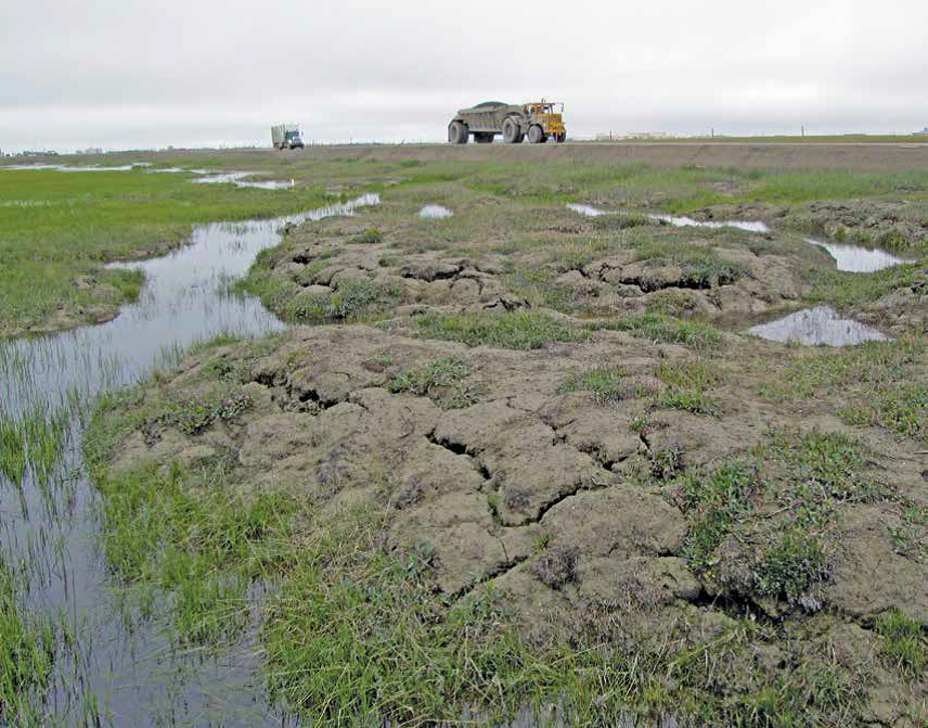
Reynolds Creek Experimental Watershed, Idaho (Lysimeter)
Department of Agriculture —
Lysimeters are instruments that measure water and/or solute movement in soils. The primary purpose for these lysimeters was to measure evapotranspiration (ET); these... -
Federal
Data From: Weather, Snow, and Streamflow data from four western juniper-dominated Experimental Catchments in south western Idaho, USA.
Department of Agriculture —
Weather, snow, stream, topographic, and vegetation data are presented from the South Mountain Experimental Catchments from water years 2007-2013 (10-1-2007 to... -
Federal
BOREAS HYD-04 Areal Snow Course Survey Data
National Aeronautics and Space Administration —
The BOREAS HYD-04 work was focused on collecting data during the winter field campaign (FFC-W) to improve the understanding of winter processes within the boreal... -
Federal
BOREAS HYD-04 Standard Snow Course Data
National Aeronautics and Space Administration —
The BOREAS HYD-04 work was focused on collecting data during the winter field campaign (FFC-W) to improve the understanding of winter processes within the boreal... -
Federal
BOREAS HYD-03 Snow Water Equivalent: 1996
National Aeronautics and Space Administration —
The BOREAS HYD-03 team collected several data sets related to the hydrology of forested areas. This data set contains measurements of snow depth, snow density in 3-cm... -
Federal
BOREAS HYD-03 Snow Water Equivalent Data
National Aeronautics and Space Administration —
The BOREAS HYD-03 team collected several data sets related to the hydrology of forested areas. This data set contains measurements of snow depth, snow density in 3-cm... -
Federal
BOREAS HYD-03 Snow Pit Measurements: 1996
National Aeronautics and Space Administration —
The BOREAS HYD-03 team collected several data sets related to the hydrology of forested areas. This data set contains measurements of snow depth, snow density in 3-cm... -
Federal
BOREAS Follow-On HMet-04 1996-1998 NSA Meteorological Data
National Aeronautics and Space Administration —
As part of the BOREAS Follow-on, an extended period of data collection was supported in the NSA because of the continued efforts at the NSA-OBS site. This data set... -
Federal
BOREAS AES Five-day Averaged Surface Meteorological and Upper Air Data
National Aeronautics and Space Administration —
The Canadian Atmospheric Environment Service (AES) provided BOREAS with hourly and daily surface meteorological data from 23 of the AES meteorological stations... -
Federal
BOREAS AES Canadian Hourly and Daily Surface Meteorological Data, R1
National Aeronautics and Space Administration —
This data set contains hourly and daily meteorological data from 23 meteorological stations across Canada from January 1975 to January 1997. The surface meteorology... -
Federal
Arctic Vegetation Plots, Prudhoe Bay ArcSEES Road Study, Lake Colleen, Alaska, 2014
National Aeronautics and Space Administration —
This dataset provides environmental, soil, and vegetation data collected from study plots in the vicinity of Lake Colleen off the Spine Road at Prudhoe Bay, Alaska,... -
Federal
ABoVE: Environmental Conditions and Subsistence Resource Access, Alaska, 2016-2017
National Aeronautics and Space Administration —
This dataset provides descriptions and photos of environmental conditions that impacted availability to subsistence resources by residents in nine rural communities... -
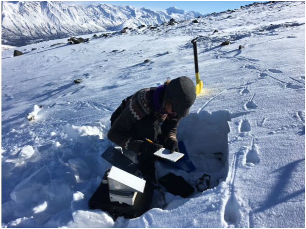
Federal
ABoVE: Dall Sheep Track Sinking Depths, Snow Depth, Hardness, and Density, 2017
National Aeronautics and Space Administration —
This dataset contains Dall sheep (Ovis dalli dalli) hoof sinking depths in snow tracks, and snow depth, hardness, and density measurements in snow pits adjacent to... -
Federal
Alaska's Changing YK Delta: Knowledge Exchange between Elders and Geoscientists, 2018
National Aeronautics and Space Administration —
This dataset provides a booklet documenting the discussions and outcomes from a knowledge-exchange meeting with Yup'ik elders from the Yukon-Kuskokwim Delta (YKD),... -
Federal
Maps of Vegetation, NDVI, Snow and Thaw Depths: North Slope, Alaska and NWT, Canada
National Aeronautics and Space Administration —
This dataset includes vegetation cover maps, Normalized Difference Vegetation Index (NDVI) maps, snow depth and thaw depth data that were obtained as part of a...

Official websites use .gov
A
.gov website belongs to an official government
organization in the United States.
Secure .gov websites use HTTPS
A
lock (
) or https:// means you’ve safely connected to
the .gov website. Share sensitive information only on official,
secure websites.