

4 datasets found for ""Drainage Systems""
-
Federal
China Dimensions Data Collection: Fundamental GIS: Digital Chart of China, 1:1M, Version 1
National Aeronautics and Space Administration —
The Fundamental GIS: Digital Chart of China, 1:1M, Version 1 consists of vector maps of China and surrounding areas. The maps include roads, railroads, drainage... -
Federal
BLM NM Carlsbad Field Office Karst Potential Areas
Department of the Interior —
Karst is a topography formed from the dissolution of soluble carbonate rocks such as limestone, dolomite, and gypsum. It is characterized by features like poljes... -
Federal
Protocol of a prospective cohort study of the effect of different methods of drainage of neuropathic bladder on occurrence of symptomatic urinary infection, and adverse events related to the urinary drainage system in spinal cord injury patients
U.S. Department of Health & Human Services —
Background To present a protocol of a prospective, cohort study in which four groups of spinal cord injury (SCI) patients will participate. (Patients with indwelling... -
Federal
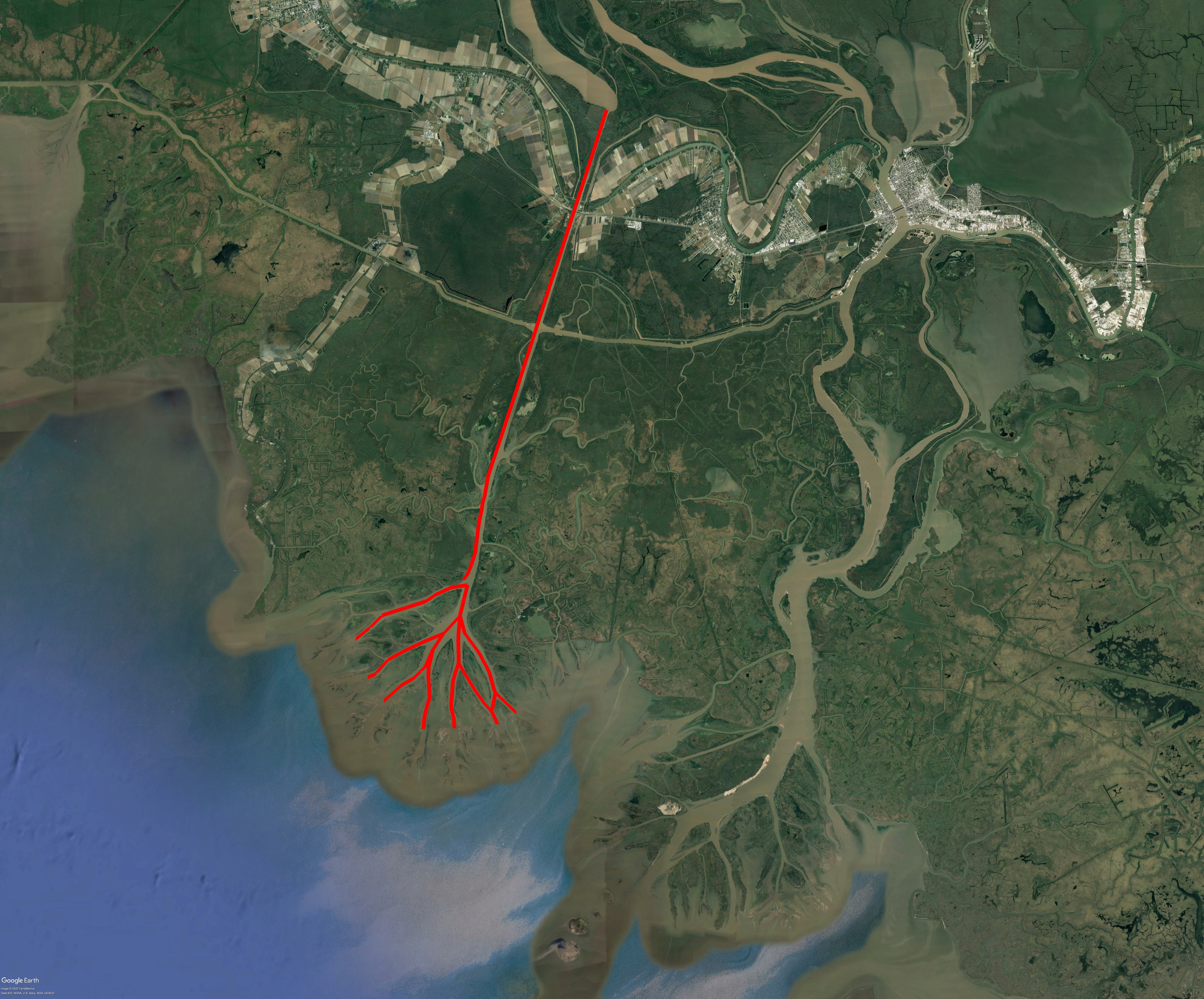
Pre-Delta-X: Lidar-derived Water Level Profiles in the Wax Lake Outlet, LA, USA, 2016
National Aeronautics and Space Administration —
This dataset contains lidar-derived water surface elevation profiles for river channels between Wax Lake, in the Atchafalaya River Basin of the Mississippi River...
4 datasets found for ""Drainage Systems""