

2 datasets found
-
Federal
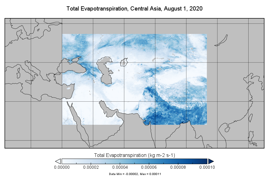
FLDAS2 Noah-MP GDAS Land Surface Model L4 Central Asia Daily 0.01 degree x 0.01 degree V001 (FLDAS_NOAHMP001_G_CA_D)
National Aeronautics and Space Administration —
This dataset contains a series of land surface parameters simulated from the Noah 3.6.1 model in the Famine Early Warning Systems Network (FEWS NET) Land Data... -
Federal
Ocean Biogeochemistry from Gliders as part of the Gulf of Maine North Atlantic Time Series
National Aeronautics and Space Administration —
This dataset contains ocean biogeochemistry data from two Slocum gliders along the Gulf of Maine North Atlantic Time Series (GNATS) transect. The transect runs...
2 datasets found