
-
County
Mortality Rates
Lake County, Illinois —
Mortality Rates for Lake County, Illinois. Explanation of field attributes: Average Age of Death – The average age at which a people in the given zip code die. Cancer... -
County
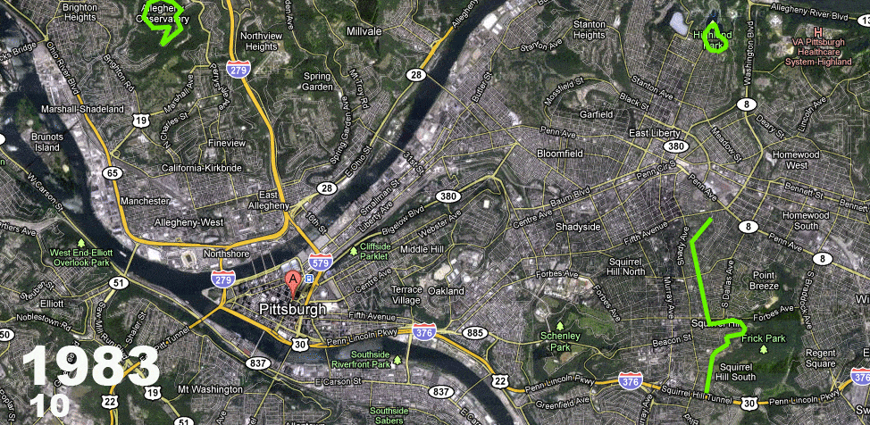
Allegheny County Air Quality
Allegheny County / City of Pittsburgh / Western PA Regional Data Center —
Air quality data is collected from the Allegheny County Health Department monitors throughout the county. This data must be verified by qualified individuals before... -
County
Birth Statistics
Lake County, Illinois —
Births rates across Lake County, Illinois by ZIP Code. Explanation of field attributes: LBW - Low birth weight is defined as a birth where the baby weighs less than... -
County
Allegheny County Addressing Street Centerlines
Allegheny County / City of Pittsburgh / Western PA Regional Data Center —
This dataset contains street centerlines for vehicular and foot traffic in Allegheny County. Street Centerlines are classified as Primary Road, Secondary Road,... -
County
Obesity Percentages
Lake County, Illinois —
Obesity percentages for Lake County, Illinois. Explanation of field attributes: Pct_Obese – The percent of people in the zip code who are considered obese, defined as... -
County
Building Footprints
Lake County, Illinois —
Download In State Plane Projection Here. The pavement boundaries were traced from aerial photography taken between April 13 and April 26, 2002 and then updated from... -
County
Lake County Wetland Inventory
Lake County, Illinois —
Download In State Plane Projection Here The Lake County Wetland Inventory (LCWI) maps natural and artificial wetlands meeting definitions established by the federal... -
County
Street Centerlines
Lake County, Illinois —
Download In State Plane Projection Here. ** The Street Centerline feature class now follows the NG911/State of Illinois data specifications including a... -
County
Loudoun 2020 Census Blocks
Loudoun County, Virginia —
This GIS layer contains the geographical boundaries of the 2020 census blocks for Loudoun County, Virginia. The 2020 Census block boundaries were used for statistical... -
County
Allegheny County Hydrology Areas
Allegheny County / City of Pittsburgh / Western PA Regional Data Center —
The Hydrology Feature Dataset contains photogrammetrically compiled water drainage features and structures including rivers, streams, drainage canals, locks, dams,... -
County
Loudoun Metrorail Service Districts
Loudoun County, Virginia —
More MetadataAt the July 3, 2012 Loudoun Board of Supervisor's Business Meeting, the Board agreed to be a funding partner with the Metropolitan Washington Airports... -
County
Loudoun 2020 Census Designated Places
Loudoun County, Virginia —
This GIS layer contains the geographical boundaries of the 2020 Census Designated Places (CDP) for Loudoun County, Virginia. CDPs are delineated to provide data for... -
County
Allegheny County Hydrology Lines
Allegheny County / City of Pittsburgh / Western PA Regional Data Center —
The Hydrology Feature Dataset contains photogrammetrically compiled water drainage features and structures including rivers, streams, drainage canals, locks, dams,... -
County
On-road Bicycle Pavement Markings
Allegheny County / City of Pittsburgh / Western PA Regional Data Center —
A mile by mile breakdown of the on-street bicycle pavement markings installed within the City of Pittsburgh. These include bike lanes, shared lane markings... -
County
Allegheny County Soil Type Areas
Allegheny County / City of Pittsburgh / Western PA Regional Data Center —
This dataset contains soil type and soil classification, by area. If viewing this description on the Western Pennsylvania Regional Data Center’s open data portal... -
County
UDO Zoning
Lake County, Illinois —
Download In State Plane Projection Here. The zoning shapefile defines the geographic extent of zoning districts in unincorporated Lake County as established by the... -
County
Edge of Pavement
Lake County, Illinois —
Download In State Plane Projection Here. The pavement boundaries were traced from aerial photography taken between March 15th, 2018 and April 25th, 2018. This dataset... -
County
Allegheny County Beltway System Street Centerlines
Allegheny County / City of Pittsburgh / Western PA Regional Data Center —
Authoritative dataset of the beltway system in Allegheny County. The system was developed to help motorists navigate through Allegheny County on low-traffic roads.... -
County
Loudoun Miscellaneous Cultural Points
Loudoun County, Virginia —
Metadata Miscellaneous cultural points are a base map data layer derived by automated processes and processed for cartographic representation at 1:2400 scale. The... -
County
Loudoun Road Casings
Loudoun County, Virginia —
More MetadataRoad Casings are a base map data layer derived by automated processes and processed for cartographic representation at 1:2400 scale. Captured as...

Official websites use .gov
A
.gov website belongs to an official government
organization in the United States.
Secure .gov websites use HTTPS
A
lock (
) or https:// means you’ve safely connected to
the .gov website. Share sensitive information only on official,
secure websites.